Haynes Meadow Conservation Land
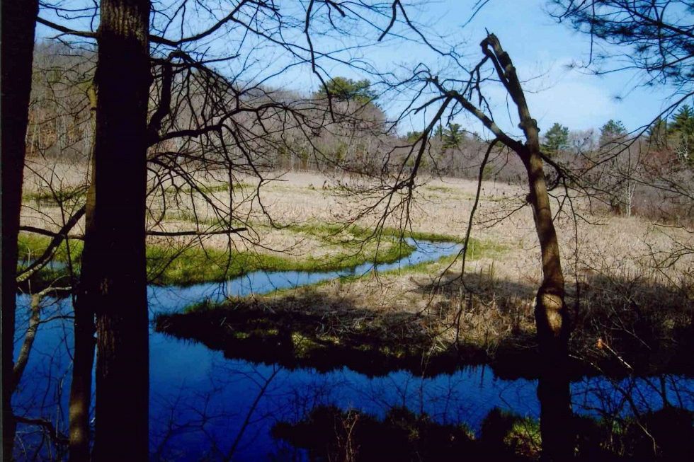
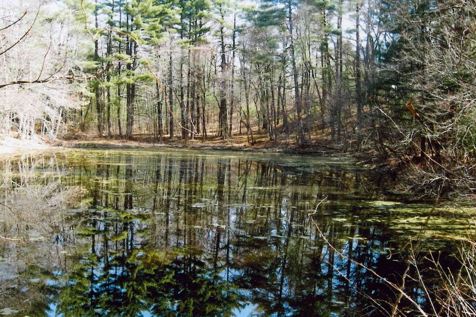
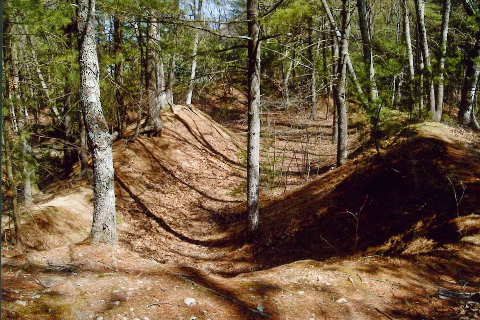
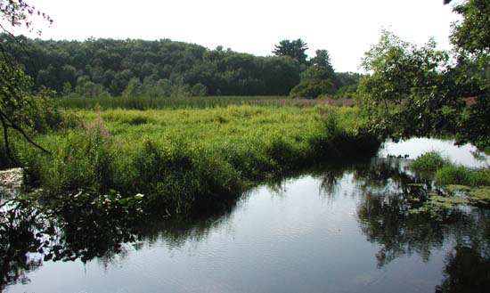
The Haynes Meadow Conservation Land was purchased by the Town in 1986 with the help of State funds. This 37-acre parcel contains open marshes, wooded swamps, and forested geologic formations called eskers. Hop Brook flows through the property from the Water District property to the north of the site south to Peakham Road. Spectacular views of Hop Brook can be seen from the trails along the eskers. Hiking and cross-country ski trails provide connections to the adjacent Curtis Middle School to the west and through the Sudbury Valley Trustees owned 35-acre Gray Reservation (open to the public) to the northeast.
Hop Brook formerly served several sawmills located along its banks. A dam, creating the now non-existent Conners Pond, was located just north of Peakham Road, and the remains of its structure can be seen today. The Haynes Meadow Conservation Land was the site of the Johnson Lumber Company Lodge. This lodge, built in 1920 and used as a recreational center for the lumber company employees, is also town-owned and is centrally located on the property. It is currently rented and is not open to the public. The Haynes Meadow Conservation Land provides many diverse activities and experiences for all to enjoy. Local history, flora, fauna, miles of hiking trails, and valuable water supply resources are contained on this easily accessible site.
Trail Challenges
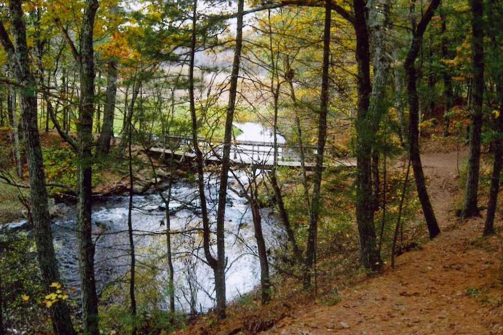
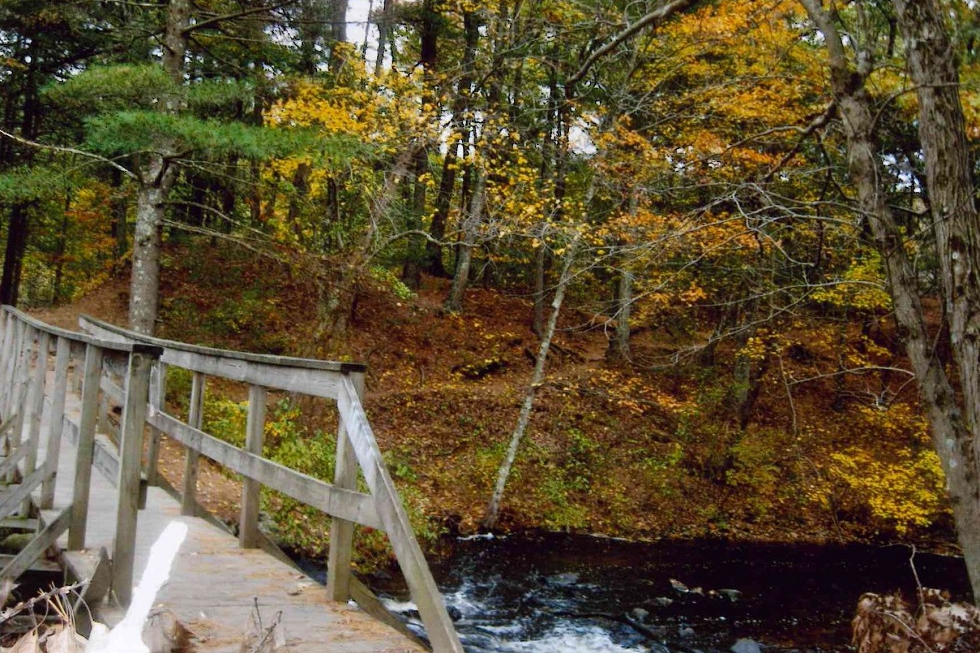
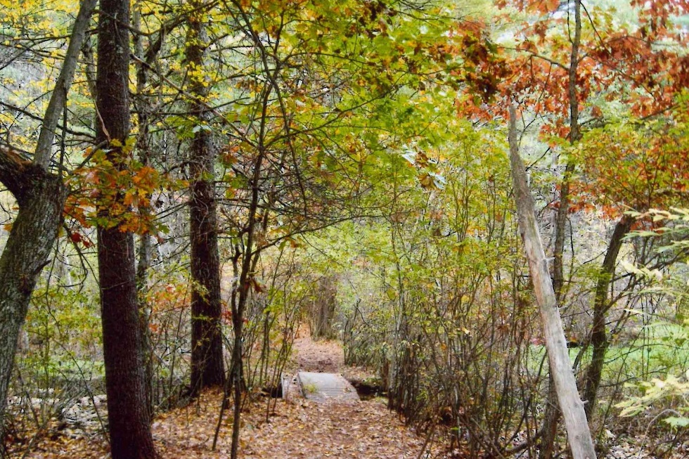
The trail from Peakham Road is well-traveled and flat. The trails leading to the Meadow are mostly flat and well-used. The trails around the Meadow are generally wide and established. There are some hilly areas and tree roots, but hikers can avoid most steep areas by using wider trails nearby. Hikers can access the bridge at the Meadow by using a wide, well-traveled trail or by using a hilly, more challenging trail.
Trail Comments
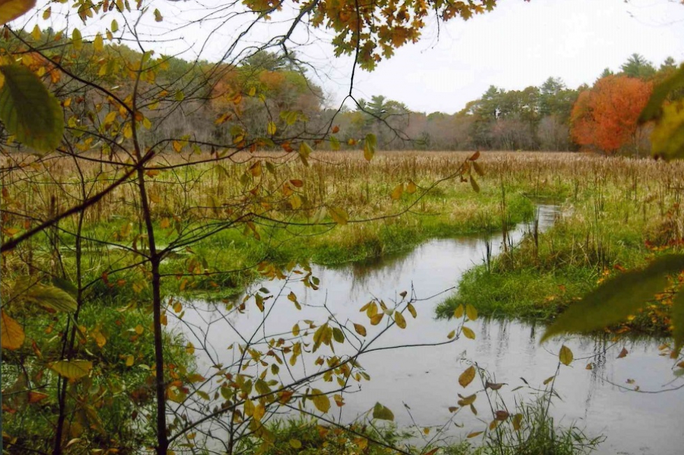
- “The scenery around Hop Brook is really amazing. The area is wetlands, glacial formations, and many ponds.”
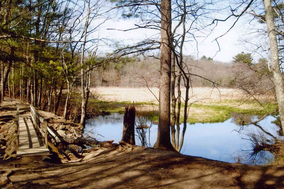
- “The bridge at the Natural Meadow has great views of the Hop Brook and wetlands. There are many species of wildlife to see.”
- “The scenery on this trial is some of the best in Sudbury. Hop Brook has carved out some great natural areas with ponds, active streams, and great views.”
- “Hikers can spend hours on the bridge because of the views. There is plenty to see because Hop Brook has created so many natural sights.”
- “The glacial kettle hole and the woods all around Hop Brook are beautiful.”
- “Every person in Sudbury should walk the trails around here.”
Special Notes:
Out of courtesy to the tenant and adjacent property owners at Haynes Meadow:
◾Please adhere to the “No Public Access Beyond This Point” signs near the lodge.
◾Respect the conservation land boundary signs adjacent to private property.
◾The access driveway off of Peakham Road is a right-of-way through private property. Please do not park on the driveway (see designated parking areas on map).
◾ Parking is limited at the end of the driveway at 489 Peakham Road. Additional parking is available at the end of Blueberry Hill Lane and the parking lot for Sudbury Valley Trustees Gray Reservation at the corner of Old Lancaster Road and Hudson Road.
◾Do not venture onto private property adjacent to the right-of-way.
Natural and Cultural History of the Haynes Meadow Land and Gray Reservation
From the Sudbury Valley Trustees
Glacial History
As glaciers repeatedly advanced and retreated across New England, they shaped our local landscape. The land mapped here bears clear marks of their passage, providing textbook examples of several glacial formations.
Most striking is the 40-foot high ice contact face that rises just south of Hop Brook. A trail winds through oaks at the top, providing dramatic views over the brook’s flood plain far below. The slope marks one edge of a kame plain underlying Pratt’s Mill Road and the Curtis Middle School property. The flat-topped plain was built up with layers of well-stratified material deposited by glacial melt-water.
Kettleholes pit the plain, formed as sand and gravel washed and settled around chunks of ice left behind by the glacier. A steep-sided depression remained after the ice melted. The bottom of the large glacial pit behind Curtis Middle School harbors a sphagnum bog. Kame plains are frequently found in association with kame terraces, separated from them by a narrow trench or swampy moat, in this case Hop Brook and its flood plain. Saxony and Normandy Drives occupy the terrace, formed by stratified deposits laid down between a wasting tongue of ice and a valley wall.
Eskers or ice-channel fillings wind through these properties, long,narrow ridges of stratified drift deposited by rivers that ran through tunnels within the glacier or through ice-walled open channels on its surface. Look for a large boulder that perches near the trail winding along an esker top in the northeast corner of the Gray Reservation; it’s a glacial erratic carried along by the glacier and then dropped.
Human History
Human use of the land has been determined in part by the glaciers. Eskers were utilized as natural aids to create both the pond on the Gray Reservation and the pond that formerly filled Hop Brook’s flood plain, thanks to a stone dam at the site of the current bridge over the brook. Here and there along the trails, “borrow pits” mark locations where sand and gravel have been removed for various projects over the years. Gravel deposits also led the Sudbury Water District to this area in its search for well sites; water moves quickly and cleanly through gravel deposits.
Stephen and Marjorie Gray, former owners of the Gray Reservation, loved caring for their land and took great pleasure and pride from it. Mr. Gray created the pond on the property and built the cabin that formerly stood near the dam. Only its fireplace and chimney remain, but some older residents still remember dance parties and gathering around the fire after ice skating on the pond.
Shrubs and flowers were planted in the vicinity, but only a clump of day lilies at pond’s edge remains. On the south side of Hudson Road, stone walls enclose a former garden area now mowed annually to keep it open. Grapevines and roses grow on the walls.
Hop Brook formerly powered several mills located along its banks. The Willis Mill on Peakham Road sawed lumber for some fifty years, until it burned in 1898. Its mill pond flooded a portion of Haynes Meadow and was a popular spot for ice skating and hornpouting.
The mill pond became known as Conners Pond when the land changed hands. Mr. Conners built the house on the Haynes Meadow property in 1920 and installed equipment at the dam to produce his own electricity. The house was used for a time as a recreational center for the employees of Mr. Conners’ lumber company. Under new ownership and renamed Lake Ford, the pond was the centerpiece of unsuccessful plans to develop cottages on small lots around its shores. In 1955 the pond disappeared, its dike washed out during Hurricane Diane. The dam itself is still in place but nearly inaccessible.
Although town records do not provide hard evidence, terrain and oral tradition suggest that another mill existed farther upstream at Haynes Meadow, utilizing the esker that extends southwest from the wooden footbridge across Hop Brook; a dam at this area has already been mentioned. Remnants of a stone-lined channel near the foot of the steep ice-contact face suggest a sluiceway or emergency spillway. Former landowner John Powers referred to this area as the 1812 dam.
Natural History
A ramble through the properties mapped here will take you past white pine and mixed oak woods, flood plain marshes and red maple swamp, across streams and along the shores of man-made ponds. Hop Brook is an important feature of the landscape. This 9.4-mile-long stream is a major tributary to the Sudbury River. It rises in Marlborough and has flowed through four former mill ponds by the time it reaches the area shown here. Its watershed totals some 5,895 acres.
Nutrients from Marlborough’s Easterly Wastewater Treatment Plant travel with the stream’s water. When the water slows during its passage through the ponds, algae blooms, creating a summertime stench that affects both owners of nearby homes and visitors to the Wayside Inn’s grist mill. The Hop Brook Protection Association is trying a variety of solutions, ranging from the purely mechanical to creating artificial wetlands and working with the EPA on the treatment plant’s permitting requirements.
The land’s geological underpinnings help to determine what grows where. Vegetation and terrain together provide a variety of wildlife habitat. The dry acid woodlands on the eskers and kame terraces include a mix of white pine and oak on south-facing slopes while pockets of hemlock show up on cooler northerly slopes. Due to thin gravely soils, shrubs are scarce – just a few huckleberries and low-bush blueberries. Wild flowers are common in late spring and early summer, including shinleaf, pink lady slippers, and wild oats. Evergreen partridgeberry, wintergreen, and pipsissewa may be identified in winter as well. Ghostly white Indian pipes sprout in the shady woods; because they gather their nutrients from nearby pine roots, they have no need for chlorophyll. Ancient club mosses and ferns carpet the area.
Water encourages other plant life. Marsh marigold, forget-me-not, and jewel weed grow near the ponds and streams. Swamp azalea scents the air from time to time during a spring walk. A sphagnum bog nestles in the bottom of the kettle hole behind Curtis Middle School.
Animal life ranges from yellow-spotted salamanders in the vernal pool tucked behind an esker on the Gray Reservation, to deer. Birds sighted on the property include northern oriole, scarlet tanager, blue jays, chickadees, titmice, and crows, sometimes mobbing the great horned owl that’s been known to hang out here. Marsh and ponds attract mallards and great blue heron. The tall trees on the Gray Reservation have in the past attracted a shy but huge exotic species, the pileated woodpecker of “Woody Woodpecker” fame.
Other exotic, introduced species are less welcome, like European buckthorn, a pesky and stubborn shrub that will take over the woods if you let it, just as purple loosest rife has filled our wetlands.
Trail Videos
Haynes Meadow – Highlights
Haynes Meadow – Trail Hike
Trail Photographs

