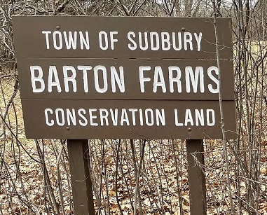
Barton Farm Conservation Land
![]()


![]()
![]()
At a little over 14.1 acres, the Barton Farm Conservation Land is a remnant of what was once roughly 400 acres owned by William Hunt. This land was divided between his two sons. One of them, Israel, had a daughter name Mary Susan. In 1851, she married a man from nearby Concord, a union that would produce three children. It would also result in the transferal of Israel’s land to her husband. This man was George W. Barton.
Standing nearby on privately-owned land is a farmhouse, built by Israel circa 1820. Associated barns sit directly across Marlboro Road from the farmhouse. These were built in the mid-1800’s, replacing earlier barns that were completely destroyed by fire in February of 1847. It has been claimed that the smallest of the barns was the original post office for North Sudbury, and was formerly located at the depot between Haynes and Pantry Roads.
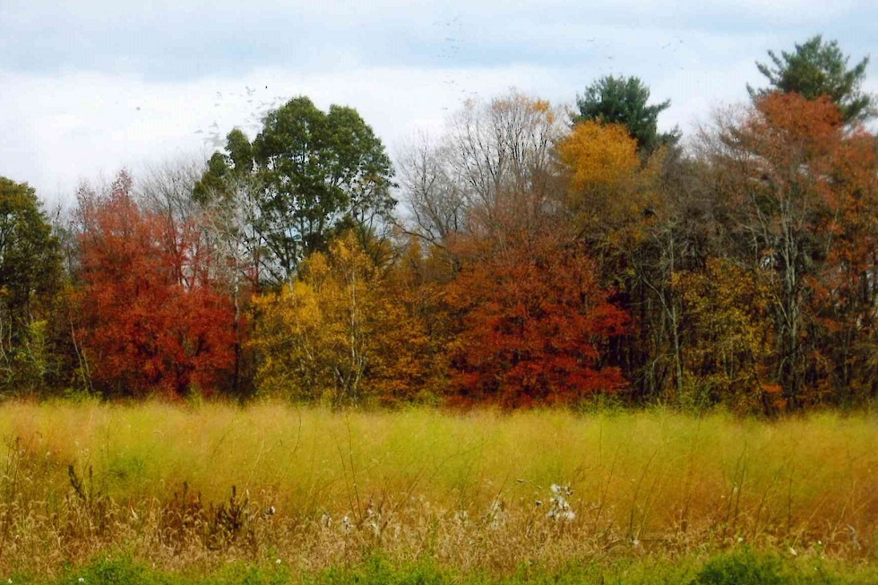
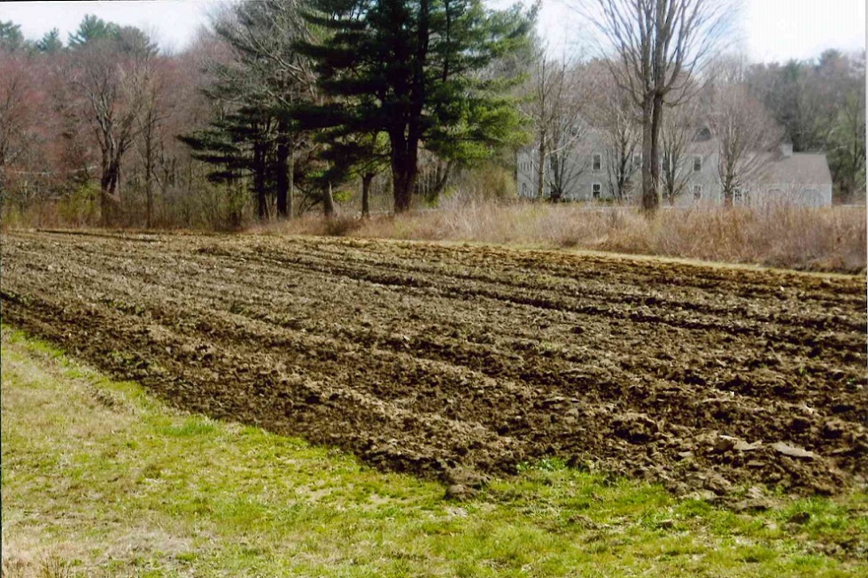
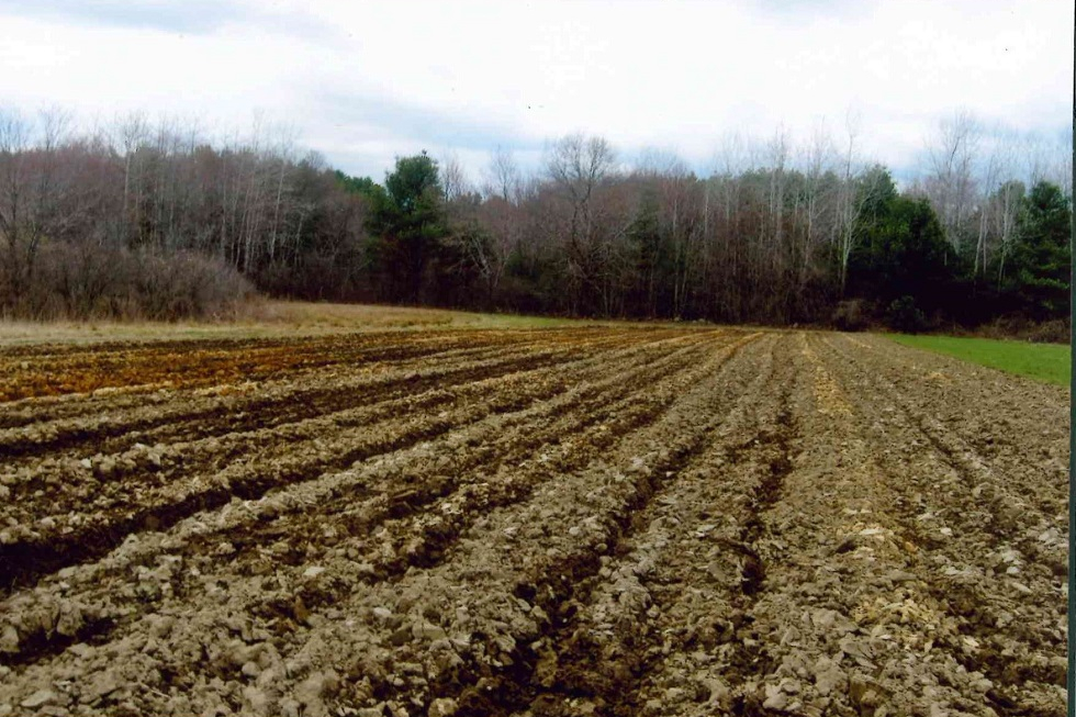
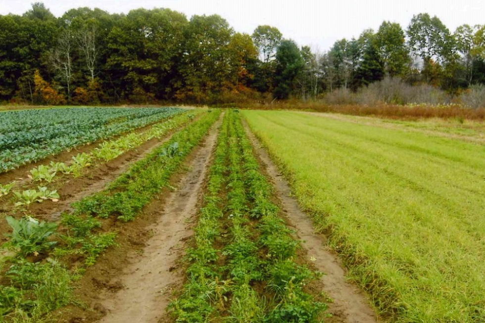
The larger, historic farm stretched west as far as Mossman Road, where a few distinctive landmarks still remain. The fields of the farm were each given a unique name so that family and hired help could easily find them. “Three Corner Piece” abutted Marlboro and Haynes Roads and is adjacent to the parking area. Not far from there lay “Noyes Hill”. To the west was “Maple Grove”, where maple saplings were grown and sold to other area farms. To the south was “Noyes Flat”, while nearer to the railbed and surrounded by stonewalls, a ditch, and Sawmill Brook sat “Noyes Island”. Further east lay the “Rocky Piece”, near a pond that once hosted a gristmill on its southern shore. Some of these fields are currently under Agricultural Preservation Restrictions held by the Town, and support active commercial farming.
Nestled amidst the fields is the site of a former iron-ore deposit, noted on a map of Sudbury from 1875. From the earliest days of colonial settlement, bog iron was extracted from the edges of the bog meadows and farms in the Pantry Brook Area. This resource was quickly depleted, but evidence of its existence can still be seen in the form of an orange, oily film coating the surface of the water in many of the streams and wetlands.
Several town-owned Conservation Lands are located nearby to Barton Farm. Less than a half-mile to the southwest as the crow flies sits Poor Farm. Frost Farm and Davis Farm are just a bit further to the northeast, and are accessible from the Bruce Freeman Rail Trail (formerly the railbed of the old Penn Central line).
While not accessible, the Pantry Brook and its bordering vegetated wetlands are a prominent feature of this property, meandering across it for over 2,000 feet. The brook flows in a southerly direction from Marlboro Road, before turning east and passing under the Rail Trail.
Parking
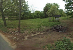
A small gravel parking area is available at 296 Marlboro Road, in front of the kiosk.
Barton Farm Entrance
Trail Challenges
Barton Farm, for the most part, contains relatively flat terrain. The wooded area between farming fields contains some slopes, branches, tree roots, and rocks which are moderately difficult to cross. A short walk down Haynes Road brings you to the soon to open Bruce Freeman Rail Trail. Taking this north will soon bring you to other conservation trails such as Davis Farm and Frost Farm.
CAUTION: Sections of Barton Farm cross onto private property. Please stay on public trails identified on the trail map in this section.
Trail Comments
- “An interesting group of active farm fields. A good way to see some farming in Sudbury.”
- “The farming fields are very easy to walk around.”
- “The trees lined the railroad tracks on either side to create a shady walkway.”
- “It’s really fascinating to see all the crops being planted and growing.”
- “Walking on the railroad tracks through the woods is really beautiful.”
Trail Videos
Barton Farm – Highlights
Barton Farm – Trail Hike
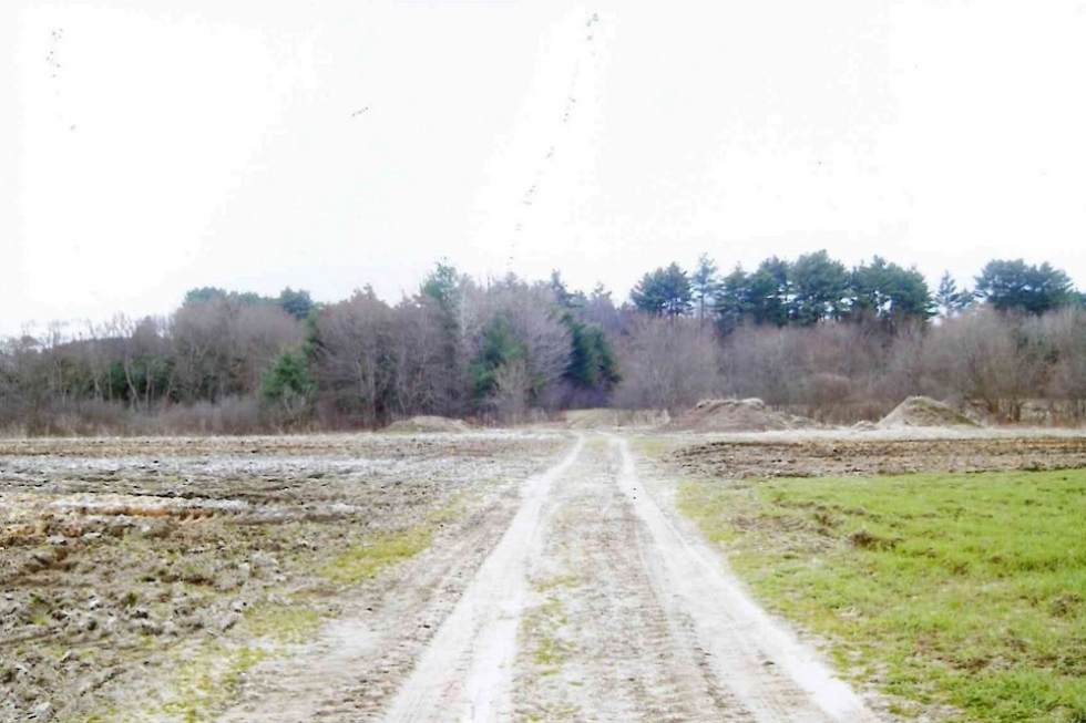
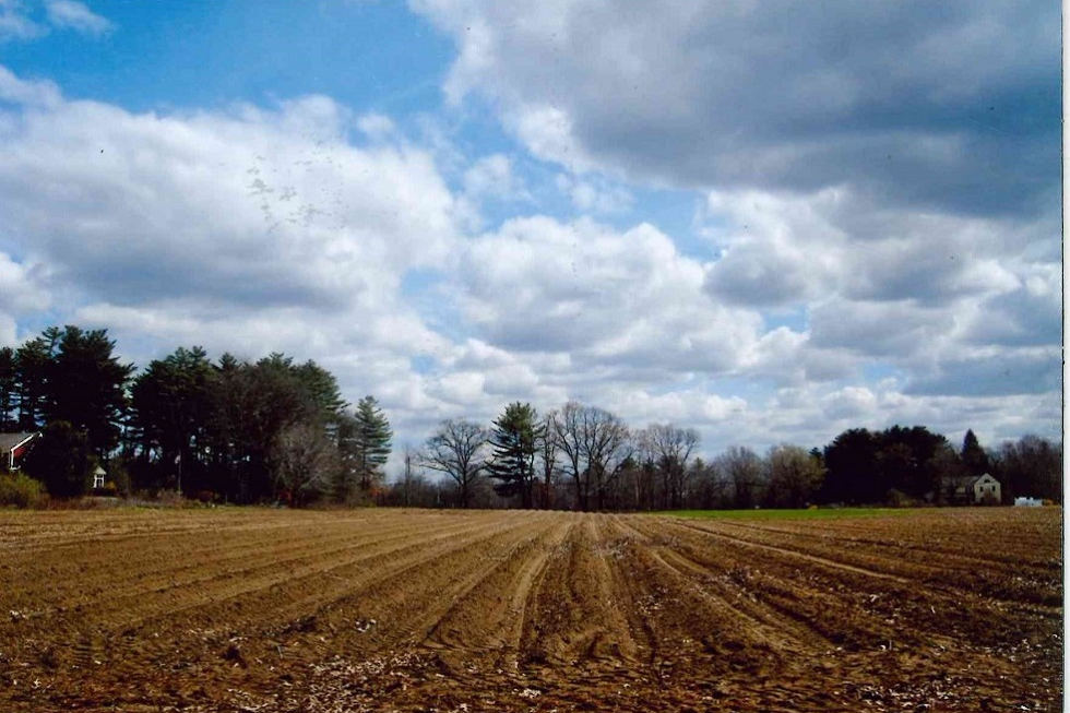
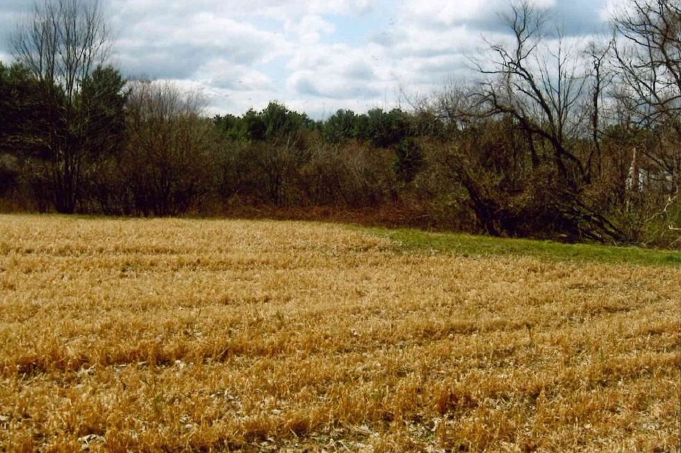
Trail Photographs