
- About
Town Government
Sudbury Maps
Interesting Facts
Town Multimedia
Historical Info
- Calendars
- Committees
- Application for Appointment
- Agricultural Commission
- Board of Assessors
- Board of Health
- Board of Registrars
- Cable Advisor
- Capital Improvement Advisory Committee
- Commission on Disability
- Community Preservation Committee
- Conservation Commission
- Council on Aging
- Cultural Council
- Design Review Board
- Diversity, Equity and Inclusion Commission
- Earth Removal Board
- Energy and Sustainability Committee
- Finance Committee
- Goodnow Library Trustees
- Historic Districts Commission
- Historical Commission
- Land Acquisition Review Committee
- Liberty Ledge / Sewataro Advisory Committee
- Lincoln-Sudbury Regional High School Committee
- Local Emergency Planning Committee
- Medical Reserve Corps Executive Committee
- Memorial Day Committee
- Park and Recreation Commission
- Permanent Building Committee
- Planning Board
- Ponds and Waterways Committee
- Rail Trails Advisory Committee
- Route 20 Sewer Steering Committee
- Select Board
- September 11 Memorial Garden Oversight Committee
- Sudbury 250 Committee
- Sudbury Housing Authority
- Sudbury Housing Trust
- Sudbury School Committee
- Town Moderator
- Traffic Safety Coordinating Committee
- Transportation Committee
- Veterans’ Advisory Committee
- Zoning Board of Appeals
Archived Committees
- Departments
- Assessors Office
- Building Department
- Conservation Office
- Department of Public Works
- Dog and Animal Control
- Facilities Department
- Finance Department
- Fire Department
- Goodnow Library
- Health Department
- Human Resources
- Information Systems
- Lincoln-Sudbury Regional High School
- Park & Recreation / Atkinson Pool
- Planning & Community Development
- Police Department
- Select Board’s Office
- Senior Center
- Sudbury Public Schools
- Town Clerk
- Town Historian
- Town Manager
- Veterans’ Agent
- Schools
- Payments
- Email Lists
- Jobs
- Contact
- 🔍Search
Archives
|
25 Pinewood Avenue |
|
Categories:
Meeting Location
|
|
37 Union Avenue |
|
Categories:
Meeting Location
|
|
AKA Bistro Restaurant |
|
Categories:
Meeting Location
|
|
American Legion Post 191 |
|
Categories:
Meeting Location
|
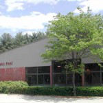
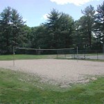
DescriptionThe Atkinson Pool consists of an 8 lane, 25 yard lap pool and a separate diving well. The facility is open to Sudbury residents and non-residents with the payment of a daily fee. Check out the Atkinson Pool’s homepage or swim schedule(not on the site yet). Facilities at this Location
Groups who use this FacilitySudbury Swim Team Photographs of this Facility
|
|
Categories:
Recreation Area
|
|
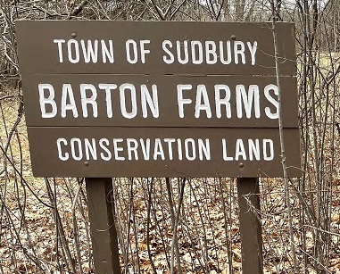
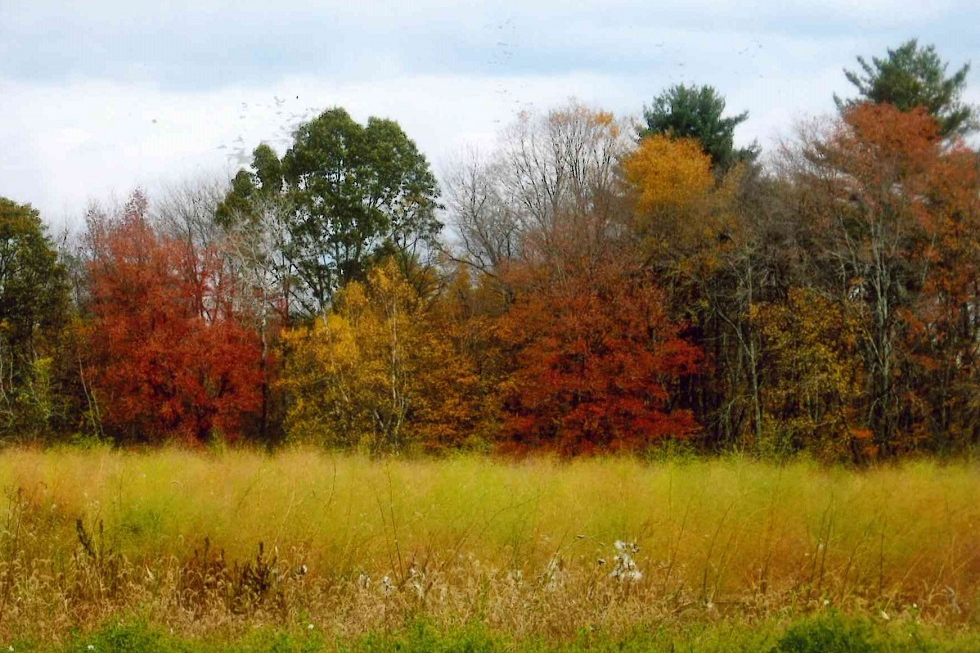
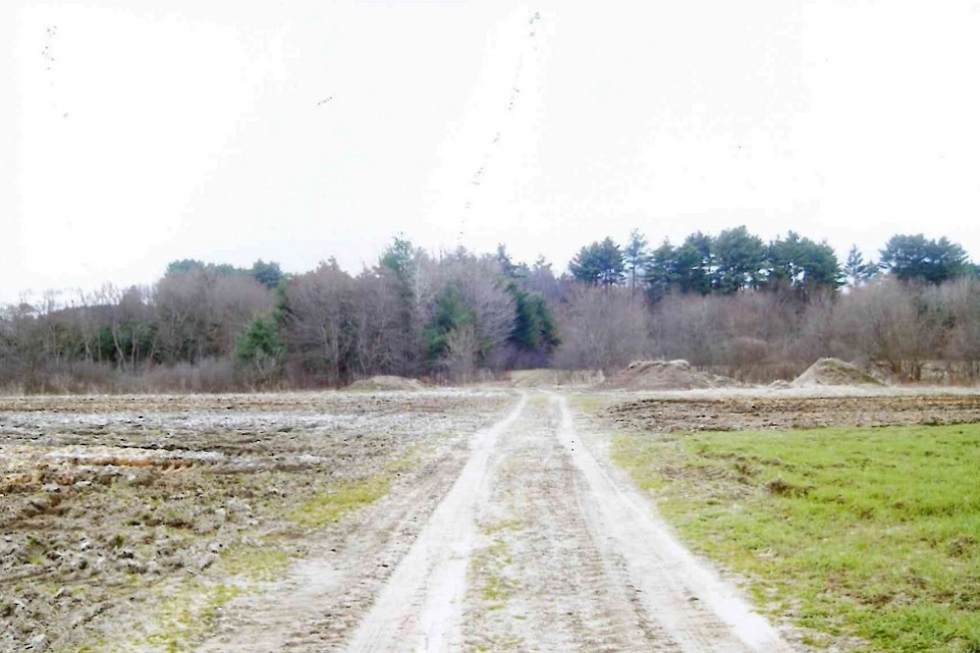
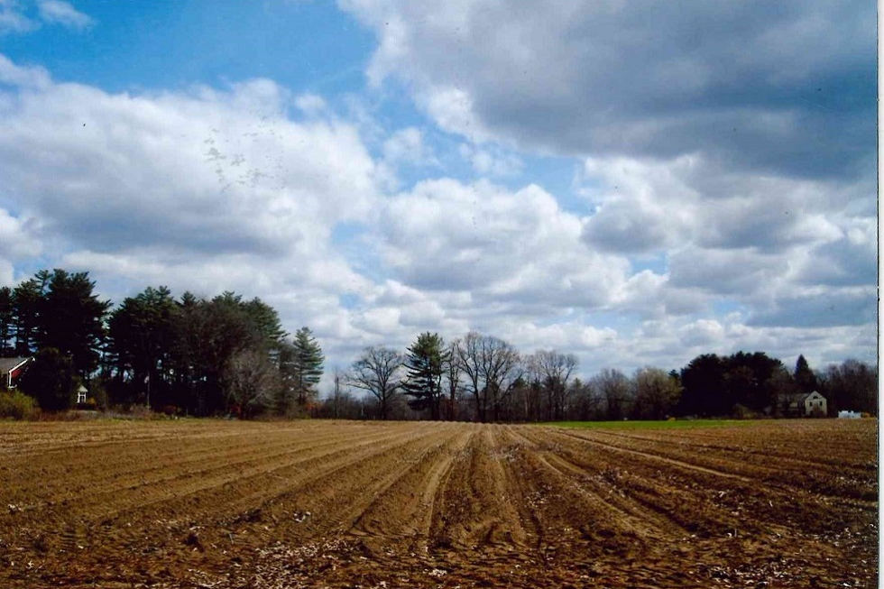
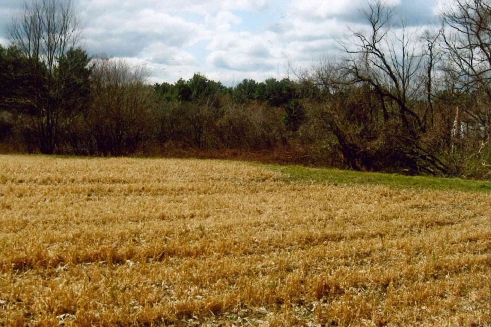
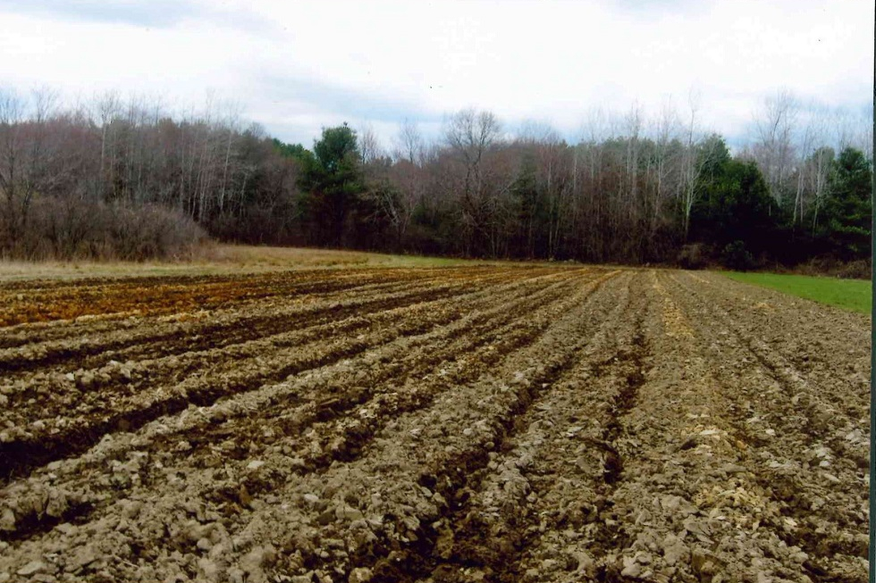
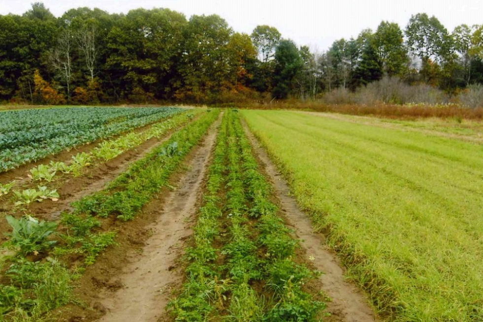
At a little over 14.1 acres, the Barton Farm Conservation Land is a remnant of what was once roughly 400 acres owned by William Hunt. This land was divided between his two sons. One of them, Israel, had a daughter name Mary Susan. In 1851, she married a man from nearby Concord, a union that would produce three children. It would also result in the transferal of Israel’s land to her husband. This man was George W. Barton. Standing nearby on privately-owned land is a farmhouse, built by Israel circa 1820. Associated barns sit directly across Marlboro Road from the farmhouse. These were built in the mid-1800’s, replacing earlier barns that were completely destroyed by fire in February of 1847. It has been claimed that the smallest of the barns was the original post office for North Sudbury, and was formerly located at the depot between Haynes and Pantry Roads. The larger, historic farm stretched west as far as Mossman Road, where a few distinctive landmarks still remain. The fields of the farm were each given a unique name so that family and hired help could easily find them. “Three Corner Piece” abutted Marlboro and Haynes Roads and is adjacent to the parking area. Not far from there lay “Noyes Hill”. To the west was “Maple Grove”, where maple saplings were grown and sold to other area farms. To the south was “Noyes Flat”, while nearer to the railbed and surrounded by stonewalls, a ditch, and Sawmill Brook sat “Noyes Island”. Further east lay the “Rocky Piece”, near a pond that once hosted a gristmill on its southern shore. Some of these fields are currently under Agricultural Preservation Restrictions held by the Town, and support active commercial farming. Nestled amidst the fields is the site of a former iron-ore deposit, noted on a map of Sudbury from 1875. From the earliest days of colonial settlement, bog iron was extracted from the edges of the bog meadows and farms in the Pantry Brook Area. This resource was quickly depleted, but evidence of its existence can still be seen in the form of an orange, oily film coating the surface of the water in many of the streams and wetlands. Several town-owned Conservation Lands are located nearby to Barton Farm. Less than a half-mile to the southwest as the crow flies sits Poor Farm. Frost Farm and Davis Farm are just a bit further to the northeast, and are accessible from the Bruce Freeman Rail Trail (formerly the railbed of the old Penn Central line). While not accessible, the Pantry Brook and its bordering vegetated wetlands are a prominent feature of this property, meandering across it for over 2,000 feet. The brook flows in a southerly direction from Marlboro Road, before turning east and passing under the Rail Trail. Parking A small gravel parking area is available at 296 Marlboro Road, in front of the kiosk. 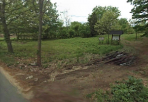 Barton Farm Entrance Trail Challenges Barton Farm, for the most part, contains relatively flat terrain. The wooded area between farming fields contains some slopes, branches, tree roots, and rocks which are moderately difficult to cross. A short walk down Haynes Road brings you to the soon to open Bruce Freeman Rail Trail. Taking this north will soon bring you to other conservation trails such as Davis Farm and Frost Farm. CAUTION: Sections of Barton Farm cross onto private property. Please stay on public trails identified on the trail map in this section. Trail Comments
Trail Videos Barton Farm – Highlights Barton Farm – Trail Hike Trail Photographs |
|
Categories:
Conservation Land
|


|
Bistro 20 Restaurant and Tavern |
|
Categories:
Meeting Location
|
|
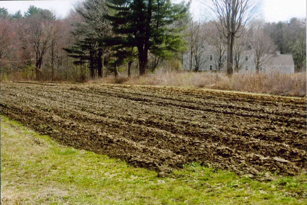
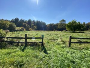
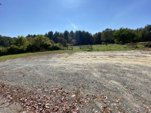
Nestled along Morse Road, Broadacres Farm spans 34 picturesque acres of fields, woodlands, and wetlands, just beyond Featherland Park. Once part of a larger horse farm owned by Honora Haynes, Broadacres Farm (aka Broadacre, Broad Acres, and Broad Acre; the jury is still out) is the newest addition to the Sudbury Conservation Department’s portfolio of protected open spaces, purchased by the town in 2019. Located on the west side of Morse Road, the property is bordered to the west and south by the extensive wetlands of the Wake Robin parcel. Across Morse Road to the east is the remaining portion of the Broadacre purchase, which is administered by other Town departments, and where the original riding arena, staff housing, and stable still stands. The open fields offer a tranquil setting for walking, birdwatching, and quiet reflection, while the surrounding woodlands provide vital habitat for local wildlife. Trails wind around the edges of both main fields before leading up a small hill through the woods to a third, smaller field.
Parking: A large gravel parking area can be found in front of the field at 82 Morse Road.
Historic Information Broadacres Farm, historically known as Maenpaa Farm and Calvin Morse’s Farm remains a living example of the colonial farmer’s practice of clearing woodlands to create areas of cultivated fields and pastureland. In the 19th Century, David Haynes owned hundreds of acres of farmland along the area that would later include Broadacres. The land was subdivided and Calvin Morse purchased and farmed a large tract of land west of Concord Rd. Morse Road was named for him. By the 1920’s, a Finnish immigrant named Victor Maenpaa owned the farm, which was then comprised of 74 acres. He most likely built the present farmhouse. The farm was then sold in two parcels, and in 1954 Honora Haynes purchased 57 acres, renaming it Broadacres Farm after a Haynes family farm in Vassalboro, Maine which had been in operation for nearly 300 years. After Honora Haynes’ purchase in 1954, Broadacres became a highly successful equine enterprise, including horse breeding, training, and rider training and education. After Honora’s passing in 2019, the farm was purchased by the town and continues to be a protected symbol of Sudbury’s agrarian roots.
Trail Challenges The trails around the two larger field are generally flat, although the terrain becomes more uneven as they approach the wetlands near the woodland edge. During Spring, this area can be particularly muddy. As the trail meanders north, out of the field, it travels through a rocky woodland up a short incline that may be difficult for some visitors.
Connections Once the Bruce Freeman Rail Trail is officially open to the public, and after a quick pass of the brush mower, Broadacres will be subsumed into the broader network of Sudbury’s open spaces. Stepping onto the Rail Trail and heading left will transport you to North Sudbury, leading to Davis Farm and Frost Farm, straddling either side of 117. A quick turn down Haynes Rd will lead you to Barton Farms. If instead you go right towards the center, you will soon arrive at other Town-owned open spaces, including the Howe and Parkinson properties. |

|
Broadacres Farm |
|
Categories:
Meeting Location
|
|
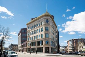
Bruce C. Bolling Building https://www.bostonpublicschools.org/domain/1590
|
|
Categories:
Meeting Location
|
|
Business |
|
Categories:
Meeting Location
|
|
Carding Mill Building 102 Dutton Rd |
|
Categories:
Meeting Location
|