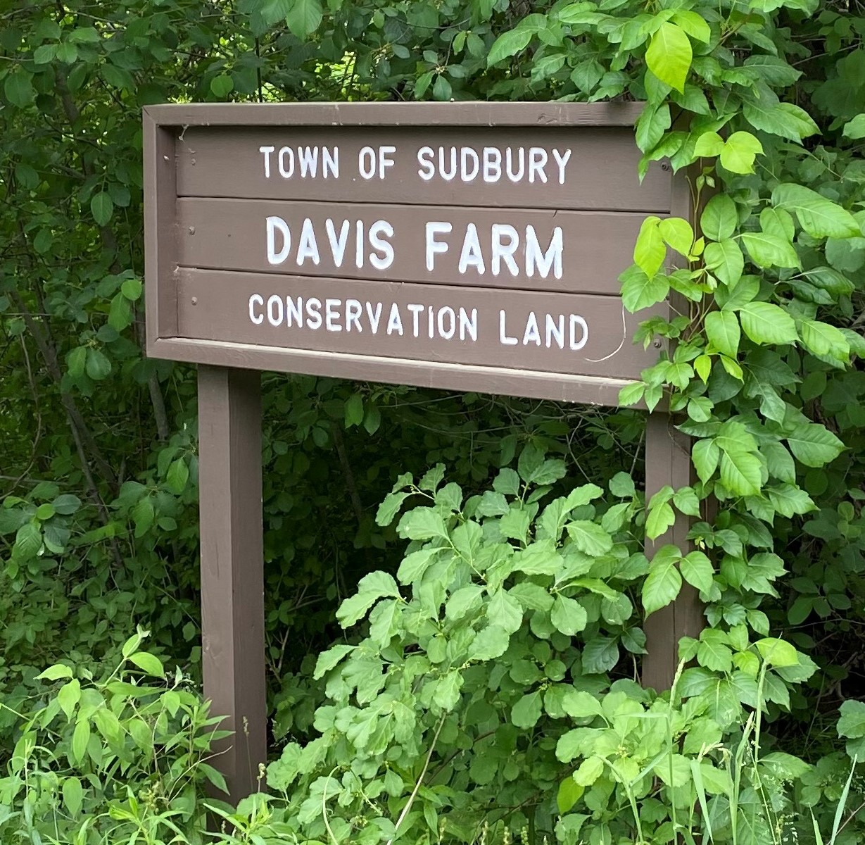
Davis Farm Conservation Land
![]()
![]()
![]()
![]()
![]()


Purchased from William Hazen Davis by the Town of Sudbury in 1974, the Davis Farm Conservation Land is a 52-acre tract located in northeast part of town, on the southern side of North Road (Route 117), about a quarter mile east of the North Sudbury Fire Station. It adjoins the 29-acre Davis Field parcel, purchased by the Parks & Recreation Commission in 1975, and the 22-acre Cail Farm parcel, gifted to the Conservation Commission in 2006
Standing at not too great a distance from the parking area is the old farmhouse. This is thought to have been built circa 1715, making it one of the oldest buildings still gracing the northern part of Town. It once served as an inn for travelers along what was then the “Old Fitchburg Turnpike”. In the 18th century it was purchased by Reuben Haynes, a farmer with roots in Sudbury stretching back to 1639.
A walking path connects the lot to the nearby Davis Field. This popular open area is notable for its role as a nesting spot for bobolinks, and as the site of Mass Audubon’s annual bird survey.
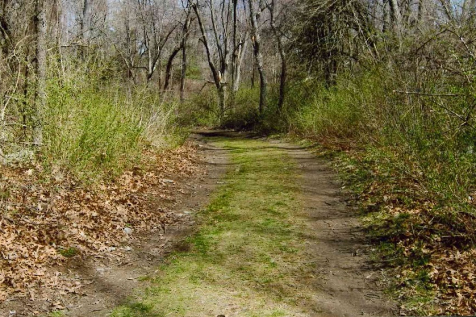
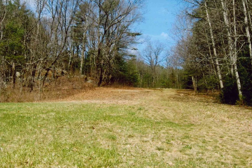
Beyond a vehicle access gate, a wide, flat, farm road winds its way south from the lot. About 800 feet along on the right lies a small meadow. This is the site of an on-going effort to cultivate native plant species that support the local pollinator population.
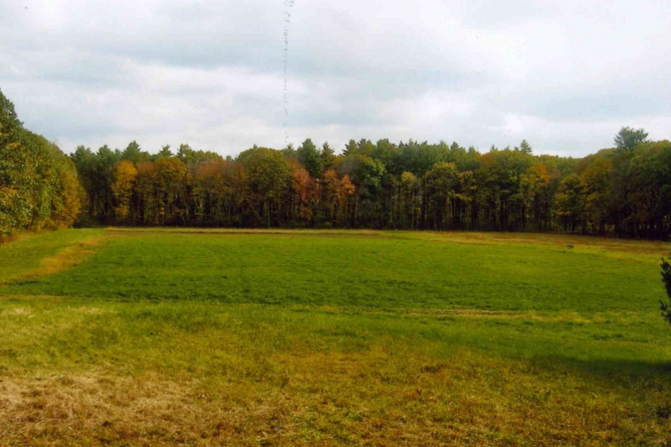
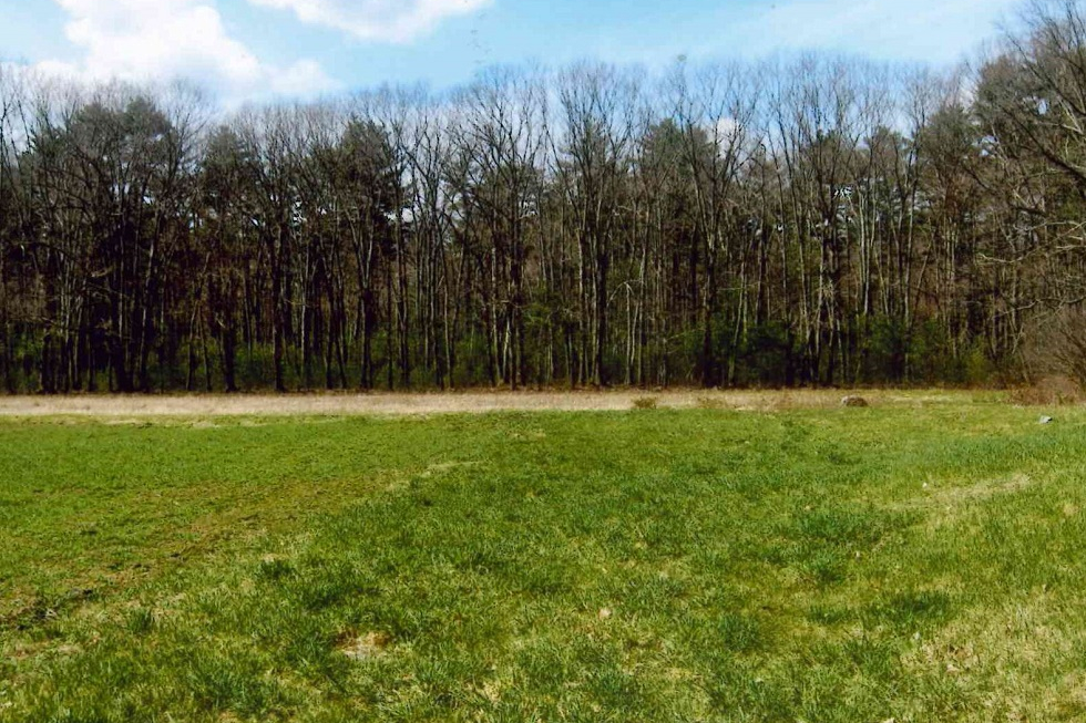
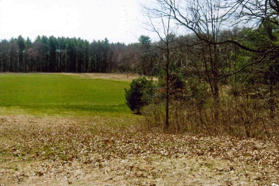
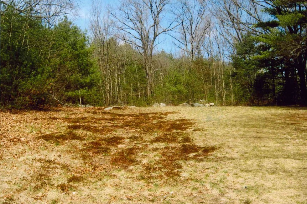
The road ultimately opens into an agricultural field located in the southeastern corner, near to Cold Brook. In keeping with tradition, a license to farm this area is held by a local farmer. Be alert! The access road and field are frequently traversed by tractors during the growing season. The field, pollinator meadow, and recreational field are all prime spots for birdwatching.
Ascending a moderate, open slope to the right of the field leads up an old toboggan run to the forested Hilltop Trail, which features a more uneven surface and a dense, mature canopy. Another trail connects hikers to what until 2023 was the railbed of the long-discontinued Framingham and Lowell Line of the New York, New Haven and Hartford Railroad, soon to be the newest leg of the Bruce Freeman Rail Trail. This will connect trail users to other local attractions, like nearby Frost Farm Conservation Land, as well as points in Concord and beyond.
Trail Challenges
The primary trail at Davis Farm is wide and generally flat. The main trail in the forested area leading to the sledding slope and the main field is wide with small slopes in some areas. Walking the toboggan area involves a moderate, continuous slope. Trails within the forested area beyond the farming field contain some tree roots, rocks, and heavy vegetation.
Parking
A small parking lot serving trail users is located off of North Road, on the right as you pass Windmill Drive and the Bruce Freeman Rail Trail heading toward Concord. A gated farm road extends beyond the parking area. No motorized vehicles are allowed beyond this gate.
Trail Comments
- “The sledding slope is amazing …it’s really wide and long, and the perfect angle.”
- “In this area, you can clearly see more farming in Sudbury.”
- “The woods around the field are full of small trails and thick woods.”
- “There is a giant rock observation point near the parking lot, with great views.”
- “We saw deer near the edge of the woods.”
- “Most of the main trail is easy to walk with beautiful woods and streams.”
Trail Videos
Davis Farm – Highlights
Davis Farm – Trail Hike
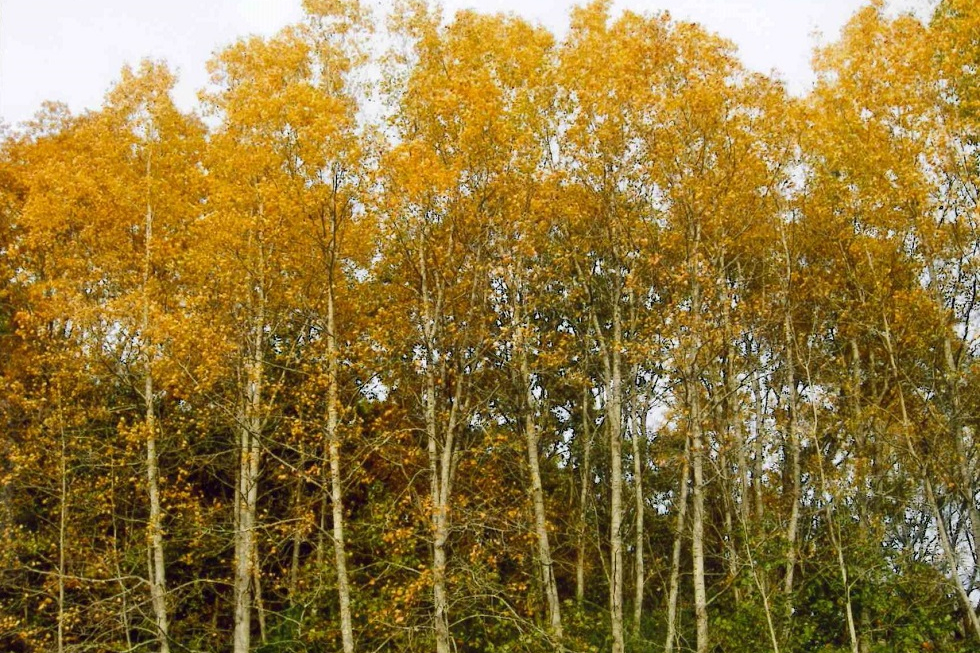
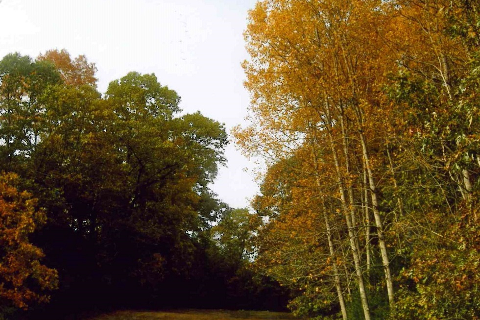
Trail Photographs