
- About
Town Government
Sudbury Maps
Interesting Facts
Town Multimedia
Historical Info
- Calendars
- Committees
- Application for Appointment
- Agricultural Commission
- Board of Assessors
- Board of Health
- Board of Registrars
- Cable Advisor
- Capital Improvement Advisory Committee
- Commission on Disability
- Community Preservation Committee
- Conservation Commission
- Council on Aging
- Cultural Council
- Design Review Board
- Diversity, Equity and Inclusion Commission
- Earth Removal Board
- Energy and Sustainability Committee
- Finance Committee
- Goodnow Library Trustees
- Historic Districts Commission
- Historical Commission
- Land Acquisition Review Committee
- Liberty Ledge / Sewataro Advisory Committee
- Lincoln-Sudbury Regional High School Committee
- Local Emergency Planning Committee
- Medical Reserve Corps Executive Committee
- Memorial Day Committee
- Park and Recreation Commission
- Permanent Building Committee
- Planning Board
- Ponds and Waterways Committee
- Rail Trails Advisory Committee
- Route 20 Sewer Steering Committee
- Select Board
- September 11 Memorial Garden Oversight Committee
- Sudbury 250 Committee
- Sudbury Housing Authority
- Sudbury Housing Trust
- Sudbury School Committee
- Town Moderator
- Traffic Safety Coordinating Committee
- Transportation Committee
- Veterans’ Advisory Committee
- Zoning Board of Appeals
Archived Committees
- Departments
- Assessors Office
- Building Department
- Conservation Office
- Department of Public Works
- Dog and Animal Control
- Facilities Department
- Finance Department
- Fire Department
- Goodnow Library
- Health Department
- Human Resources
- Information Systems
- Lincoln-Sudbury Regional High School
- Park & Recreation / Atkinson Pool
- Planning & Community Development
- Police Department
- Select Board’s Office
- Senior Center
- Sudbury Public Schools
- Town Clerk
- Town Historian
- Town Manager
- Veterans’ Agent
- Schools
- Payments
- Email Lists
- Jobs
- Contact
- 🔍Search
Archives
|
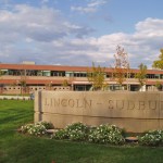
Lincoln-Sudbury Regional High School |
|
Categories:
Meeting Location
|
DescriptionOver the last couple years, the Lincoln-Sudbury Wellness department has incorporated a state of the art Fitness Center as part of its facility. It is complete with body master machines, free weight equipment and cardiovascular machines. There are three separate gymnasiums for wellness classes and one has a Rock-climbing wall. The extensive obstacle course in the forest behind the school offers a challenge to the many classes which use them. There is also a football field, tennis courts, baseball diamonds, soccer fields, and an off site sailing facility. Field Permit Information: Driving Directions390 Lincoln Rd. Facilities at this Location
Groups who use this FacilitySudbury Youth Soccer Photographs of this Facility
|
|
Categories:
Recreation Area
|

Floorplan
Note: Floorplans are designed for visitor navigation, not visual accuracy. Photos
|


|
The Loring Parsonage has been the home of the Sudbury History Center since 2020, when the Sudbury Historical Society relocated into the renovated building. More information about the building and the Historical Society can be found at Restoring Our Home — The Loring Parsonage. Loring Parsonage |
|
Categories:
Meeting Location, Town Building
|
|
METCO Headquarters |
|
Categories:
Meeting Location, Remote Participation Meeting Location
|
|
Musketahquid Village |
|
Categories:
Town Building
|
|
|
|
Categories:
Meeting Location
|
|
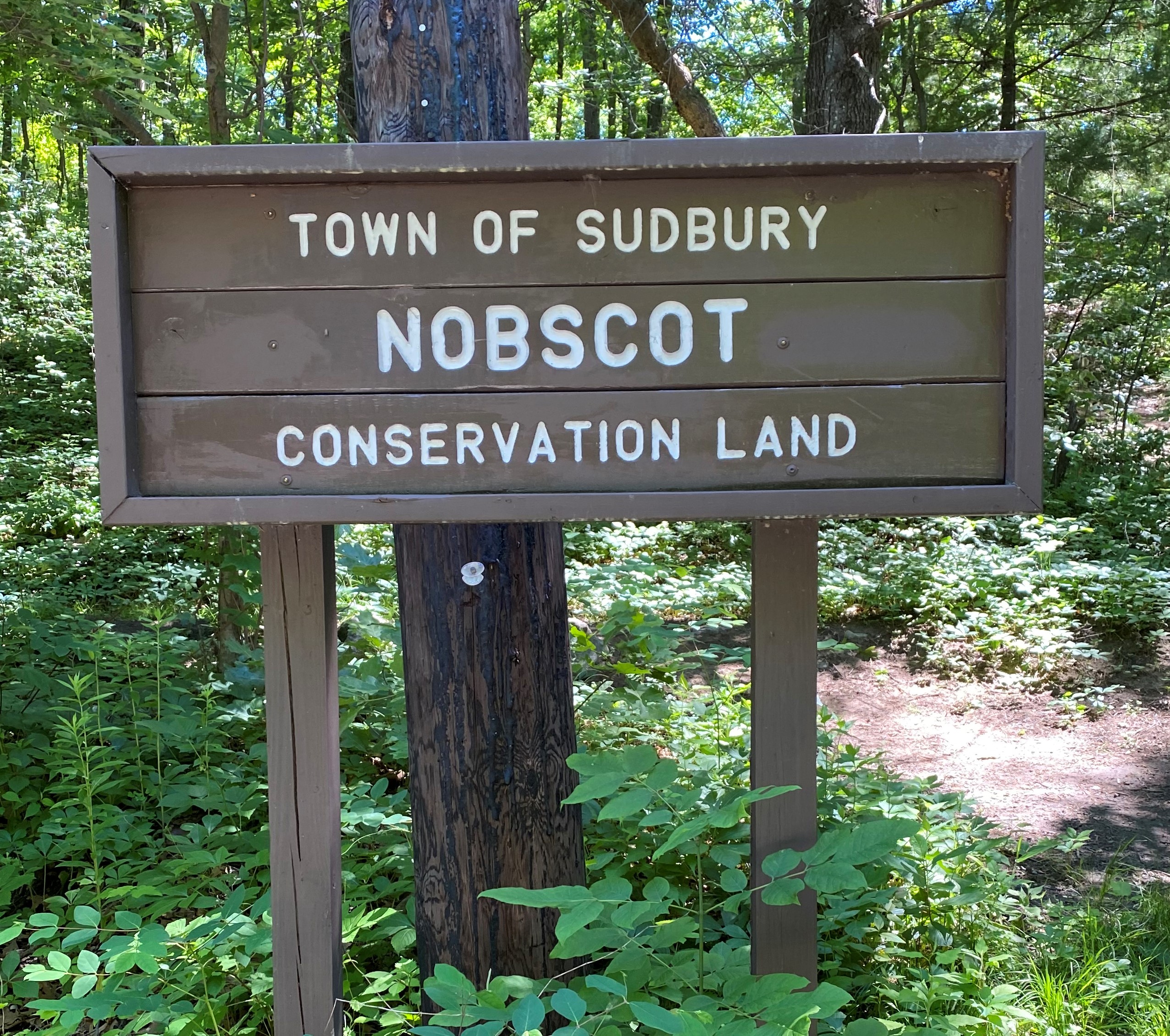
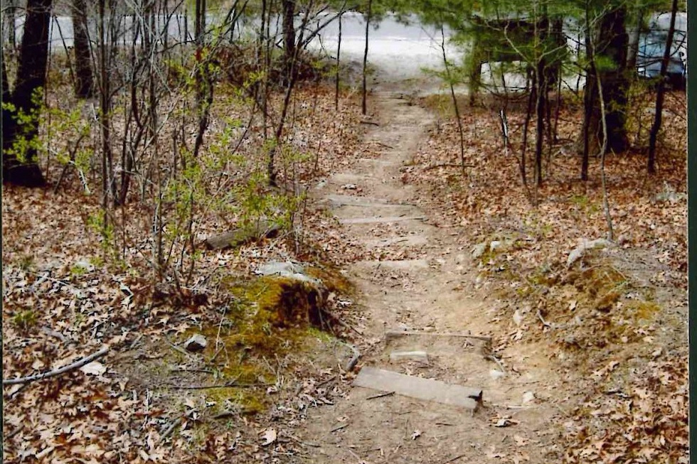
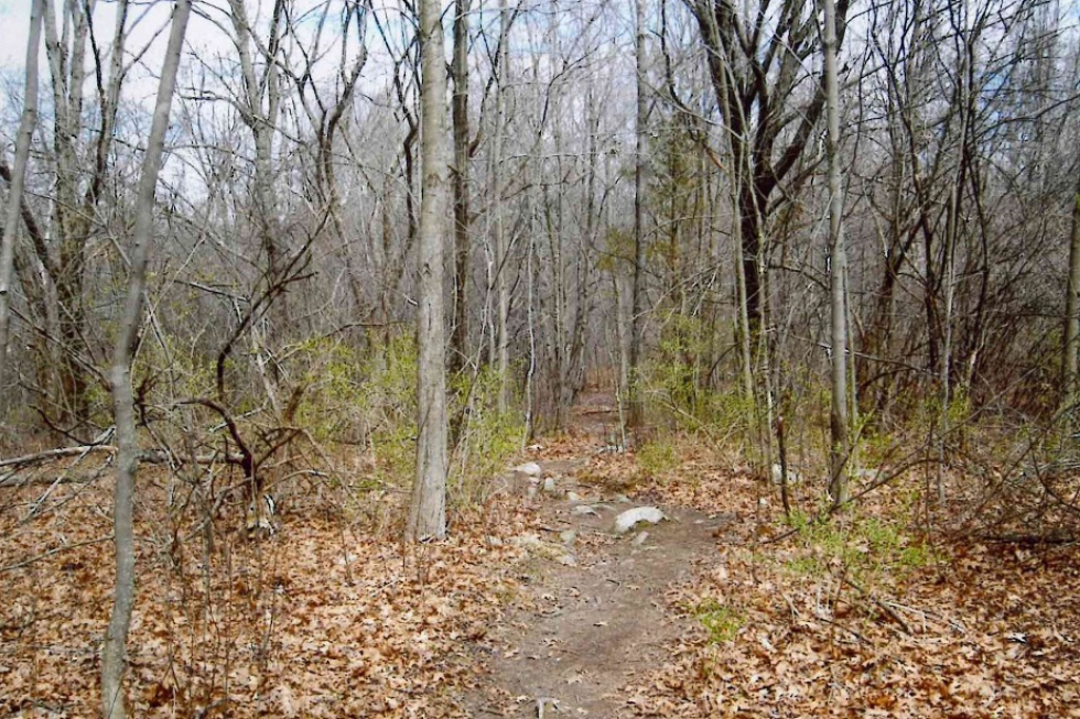
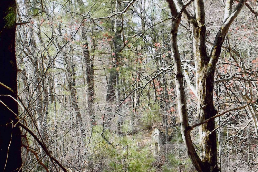
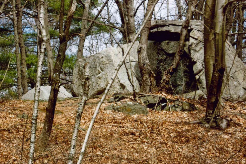
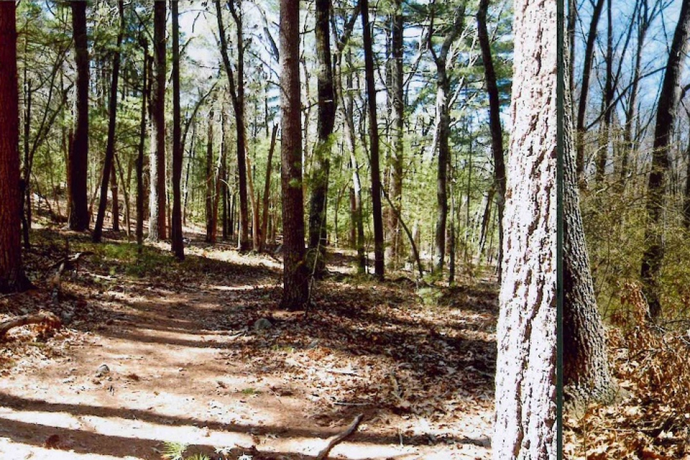
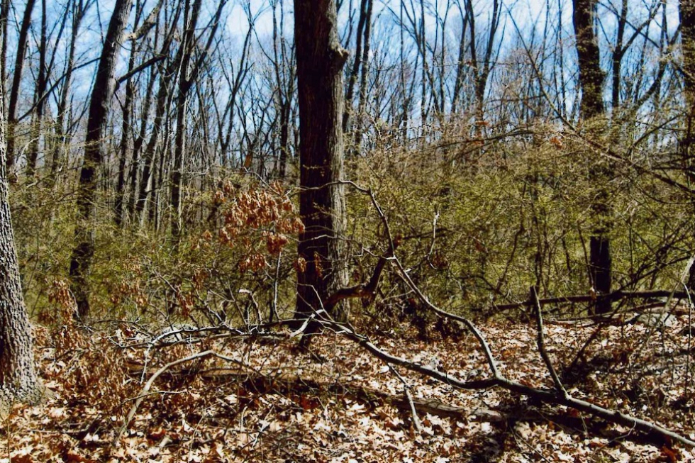
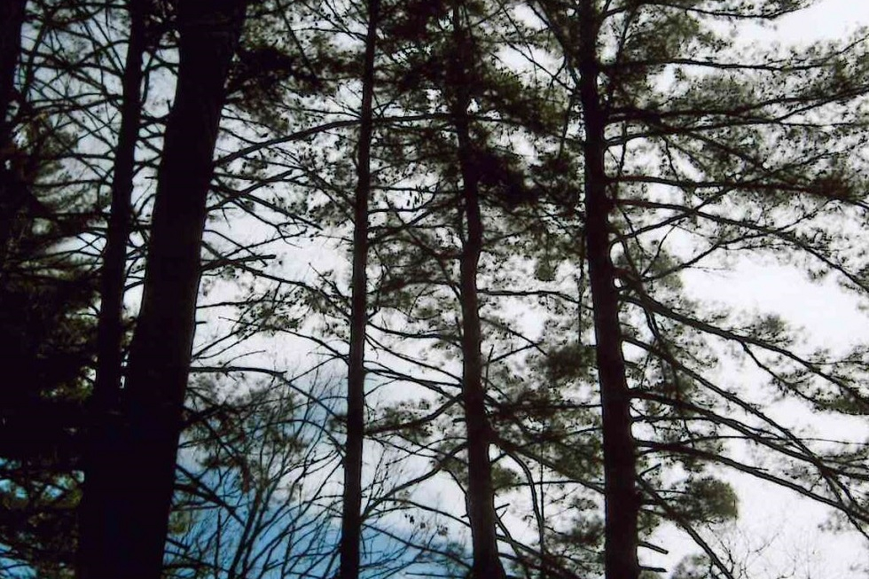
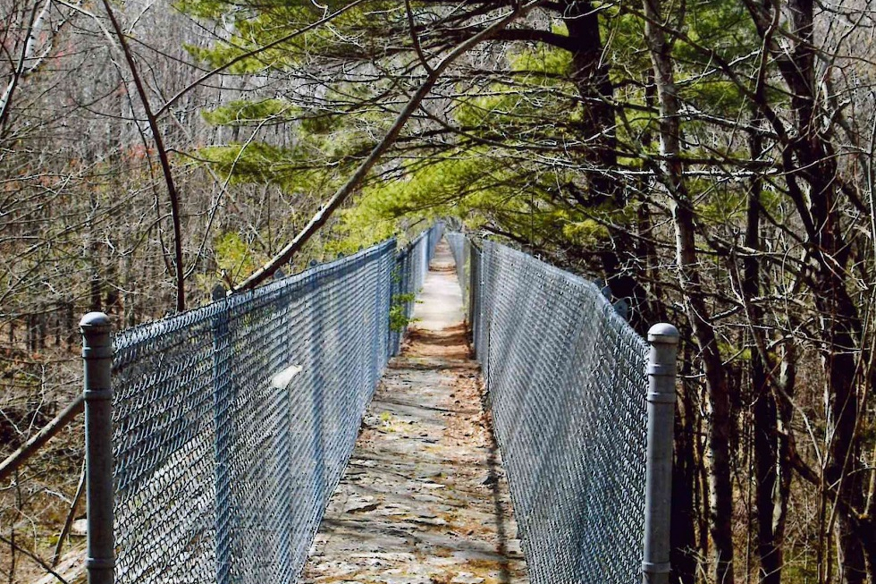
The Nobscot Conservation Land is 118 acres of woodland, meadows, historic sites, and an abandoned apple orchard. It is located south of Route 20, with access and parking on Brimstone Lane. The original 78 acres of the parcel was purchased in 1974 for passive recreational activities. A gift by Alderice Mailett in 1985 added another 40 acres. The area is ideally suited for hiking, nature study, snowshoeing, and cross-country skiing. The Nobscot Scout Reservation, which borders this parcel, is private property and is not part of the Nobscot Conservation Land. However, it is also open to the public. A wide variety of birds and wildflowers can be observed here. Parking A small gravel parking area is located on Brimstone Lane, near the town line with Framingham. Look for kiosk. From the parking lot on Brimstone Lane, the conservation land lies on both sides of the road. On the uphill side of the parking lot is the slope running up Nobscot Hill, the peak of which lies not far over the town line in Framingham. The path up the steep embankment levels out and traverses an abandoned apple orchard. Before the forest reclaimed it, Mt. Wachusett and Mt. Monadnock could be seen from this view point, as could Round Hill and the spires in the Town Center. On the downhill side is a tract which includes considerable wetlands. Historical Information There are a number of interesting geological features such as kettle holes and eskers that tell the history of a land formed by receding glacial ice. For Native Americans in the Sudbury Valley, Nobscot was a hill they called Penobscot, “Place of Falling Rocks” and was a spiritual place for the Nipmuc people. The colonists of Sudbury and Framingham shortened the name to Nobscot. The Nobscot Conservation Area once comprised several farms with open fields, stone walls, and farm buildings. Today, only the stone foundations of buildings and the stone walls remain, and much of the land has reverted to woodland. Nobscot contains the famous dam built in the 1930’s by Henry Ford, founder of the Ford Motor Company. In 1923, Ford stepped in to protect the Wayside Inn as a “splendid example of colonial America.” He purchased nearly 1,500 acres surrounding the Inn and built a traditional New England-style white chapel and a field grist mill (rumored to be the “most photographed historic site”) in the Wayside Inn area. Ford had a dam built in an attempt to create a reservoir for firefighting in the Wayside Inn area. The wall was built at least 30 feet high and 900 feet long out of stone and concrete. Obsessed with historic authenticity, Ford made sure all construction and renovations were accomplished in “the traditional manner” using only man- and oxen-power. Unfortunately, the dam never worked as intended, only succeeding in holding back only enough water to form a wetland. The reasons given were that the soil was too porous behind the dam, and the feeding stream has very little water most of the year. This dam is now referred to as “Ford’s Folly”. Special Notes On the very top of Nobscot Hill, on private property, is an array of microwave antennas used for radio communication. Trail Challenges The entry point from Brimstone Lane is an extremely steep climb with wooden log steps. The forested area contains minor hills and moderate slopes with multiple tree roots and rocks along the trail. Some of the slopes along minor trails can be steep; however, the main trail is generally wide with average difficulty, except for a few more challenging slopes. The trail to Ford’s Folly is in the opposite direction from Nobscot Hill. This trail winds through wooded areas, which contain some slopes, tree roots, and rocks. Some of these wooded area trails along both sides of Brimstone Lane also contain brush. Ford’s Folly is accessed via a narrow path along the top of the structure, so hikers should use caution. Trail Comments
Trail Videos Nobscot – Highlights Nobscot – Trail Hike Trail Photographs
|
|
Categories:
Conservation Land
|


|
484 North Road
|
|
Categories:
Meeting Location
|
|
Orchard Hill Assisted Living |
|
Categories:
Meeting Location
|
|
Parks and Grounds Building |
|
Categories:
Town Building
|
|
Parmenter Community Healthcare www.parmenter.org |
|
Categories:
Town Building
|