
- About
Town Government
Sudbury Maps
Interesting Facts
Town Multimedia
Historical Info
- Calendars
- Committees
- Application for Appointment
- Agricultural Commission
- Board of Assessors
- Board of Health
- Board of Registrars
- Cable Advisor
- Capital Improvement Advisory Committee
- Commission on Disability
- Community Preservation Committee
- Conservation Commission
- Council on Aging
- Cultural Council
- Design Review Board
- Diversity, Equity and Inclusion Commission
- Earth Removal Board
- Energy and Sustainability Committee
- Finance Committee
- Goodnow Library Trustees
- Historic Districts Commission
- Historical Commission
- Land Acquisition Review Committee
- Liberty Ledge / Sewataro Advisory Committee
- Lincoln-Sudbury Regional High School Committee
- Local Emergency Planning Committee
- Medical Reserve Corps Executive Committee
- Memorial Day Committee
- Park and Recreation Commission
- Permanent Building Committee
- Planning Board
- Ponds and Waterways Committee
- Rail Trails Advisory Committee
- Route 20 Sewer Steering Committee
- Select Board
- September 11 Memorial Garden Oversight Committee
- Sudbury 250 Committee
- Sudbury Housing Authority
- Sudbury Housing Trust
- Sudbury School Committee
- Town Moderator
- Traffic Safety Coordinating Committee
- Transportation Committee
- Veterans’ Advisory Committee
- Zoning Board of Appeals
Archived Committees
- Departments
- Assessors Office
- Building Department
- Conservation Office
- Department of Public Works
- Dog and Animal Control
- Facilities Department
- Finance Department
- Fire Department
- Goodnow Library
- Health Department
- Human Resources
- Information Systems
- Lincoln-Sudbury Regional High School
- Park & Recreation / Atkinson Pool
- Planning & Community Development
- Police Department
- Select Board’s Office
- Senior Center
- Sudbury Public Schools
- Town Clerk
- Town Historian
- Town Manager
- Veterans’ Agent
- Schools
- Payments
- Email Lists
- Jobs
- Contact
- 🔍Search
Archives
|
Congregation Beth El of the Sudbury River Valley |
|
Categories:
Meeting Location
|
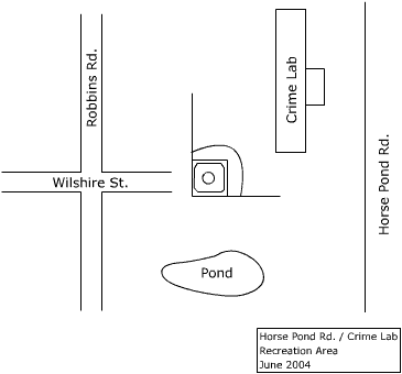
DescriptionThe Crime Lab/Horse Pond Rd. facility has two little league baseball diamonds. Field Permit Information: Driving Directions59 Horse Pond Rd Facilities at this Location
Photographs of this FacilityNone Groups who use this FacilitySite Plan
|
|
Categories:
Recreation Area
|
|
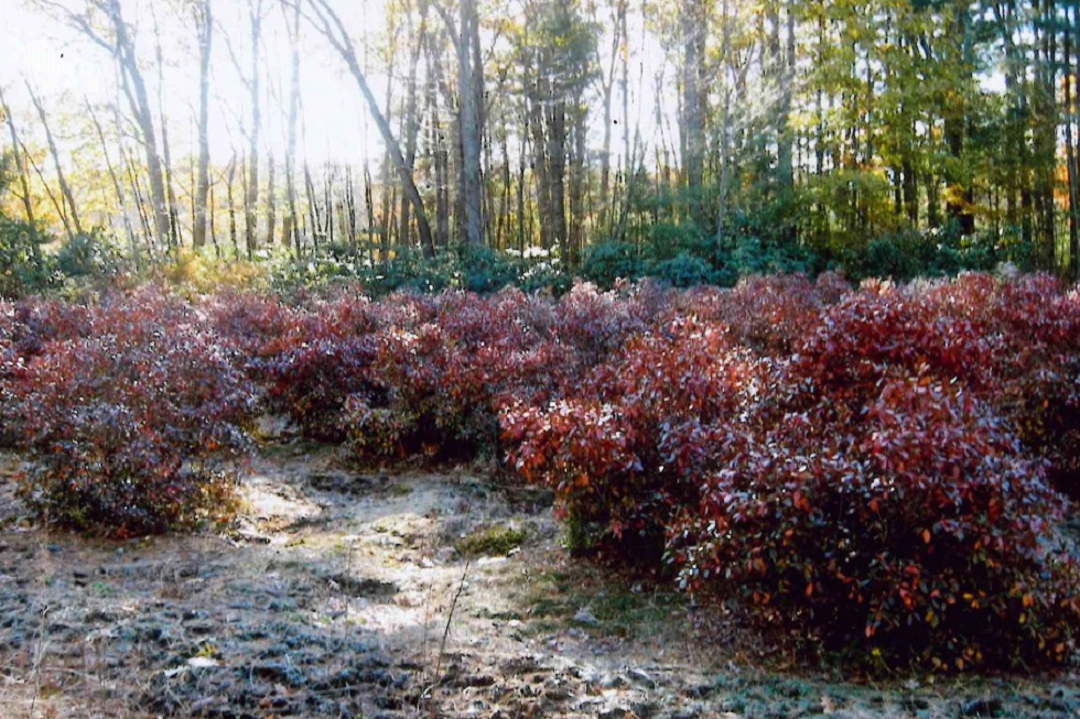
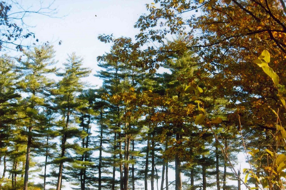
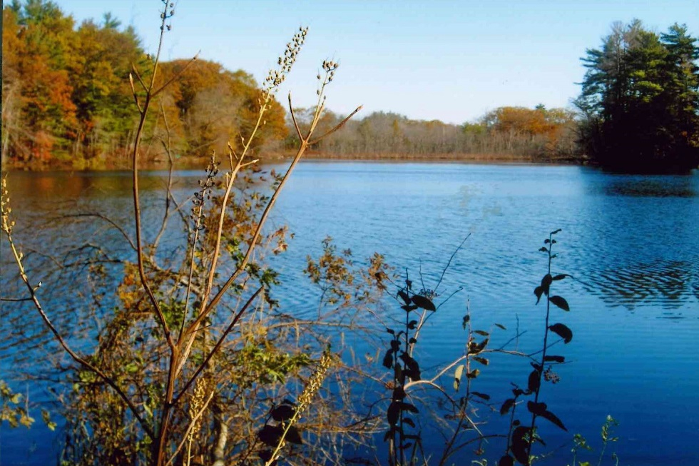
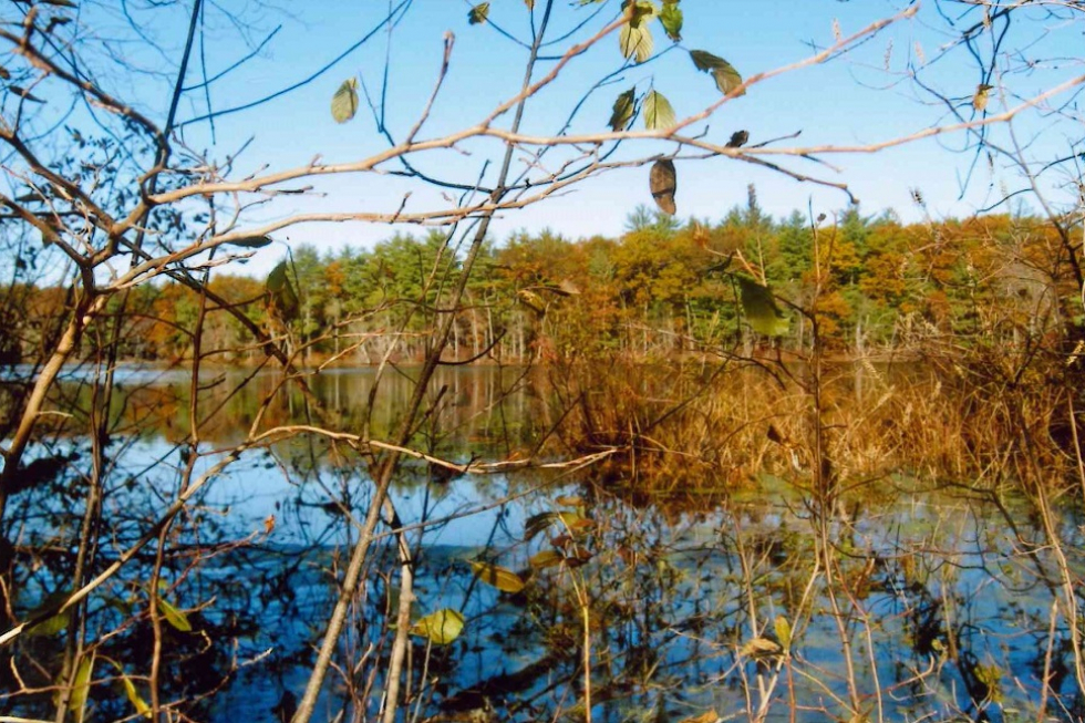
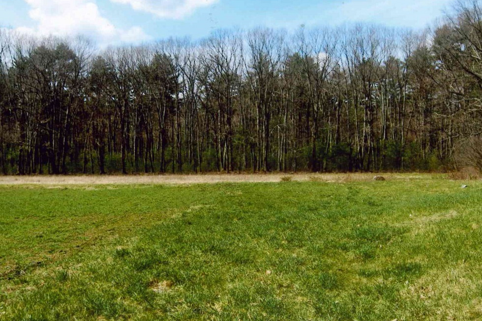
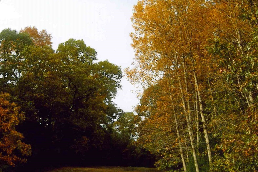
The development rights for Cutting Farm were acquired by the town in 2004. Trails and a canoe launch are located on this land. Cutting Farm is located on Route 27 North, adjacent to the Cutting Playing Field, just before the Maynard town line. The parcel includes a large scenic pond, forested areas, and a variety of trees and shrubs. Park in the Cutting Field parking lot. The trail entrance is in the back. The Cutting property has been farmed by the Cutting family since the late 1600’s. In 2004, the Cutting family offered to preserve 55 acres of their parcel by selling a combination of land and an Agricultural Preservation Restriction (APR) to the Town of Sudbury. The public has access to the land covered by the APR on a network of trails. This includes access for passive recreational opportunities for Sudbury residents such as walking, cross country skiing, and canoeing on Cutting Pond. The Cutting property abuts the new Assabet River Wildlife Refuge and is a portion of a 3,000-acre wildlife corridor running north to south through the towns of Sudbury, Maynard, Marlboro, Hudson, and Stow. Trail Challenges The trails around Cutting Farm are wide and flat. There is some vegetation on the ground while walking to the pond. Otherwise, there are no difficulties in using the paths. Trail Comments
Trail Videos Cutting Farm – Highlights Cutting Farm – Trail Hike Trail Photographs |
|
Categories:
Conservation Land
|


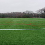
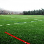
DescriptionThe Cutting Field is an artificial turf field for soccer and lacrosse. Field Permit Information: Driving Directions429 Maynard Rd Facilities at this Location
Groups who use this FacilitySudbury Youth Soccer Photographs of this Facility |
|
Categories:
Recreation Area
|
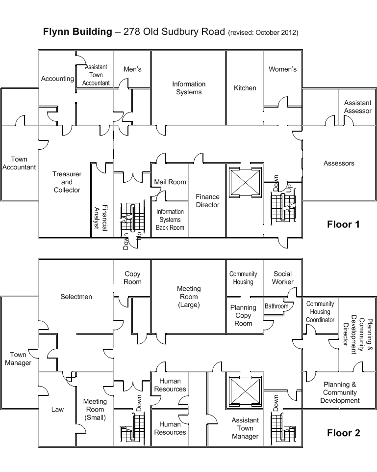 Flynn Building Floor Plan
Gallery
|
|
Categories:
Recreation Area
|
|
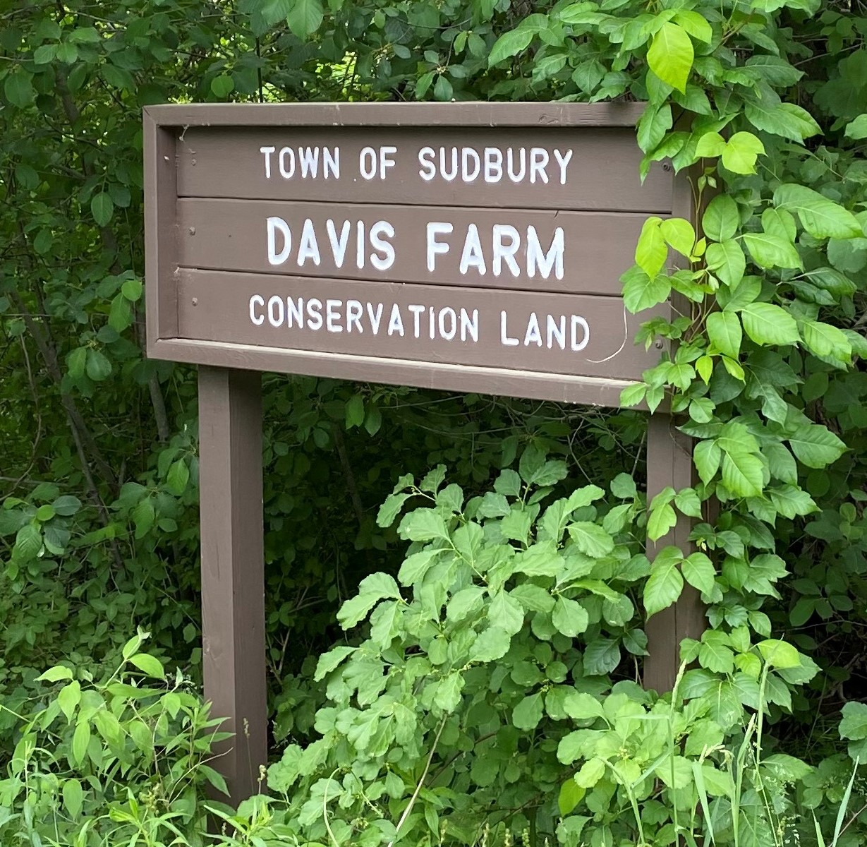
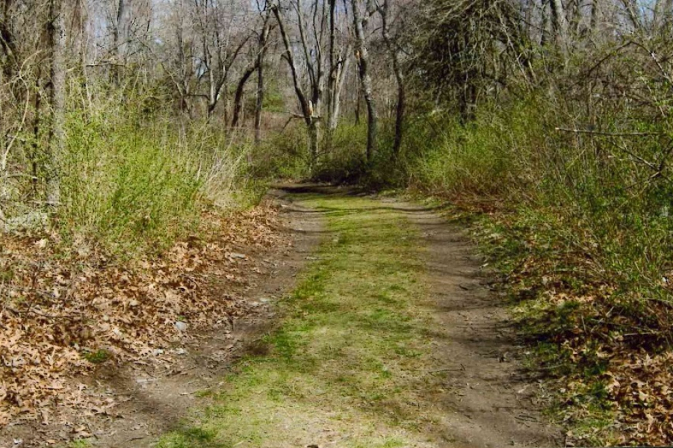
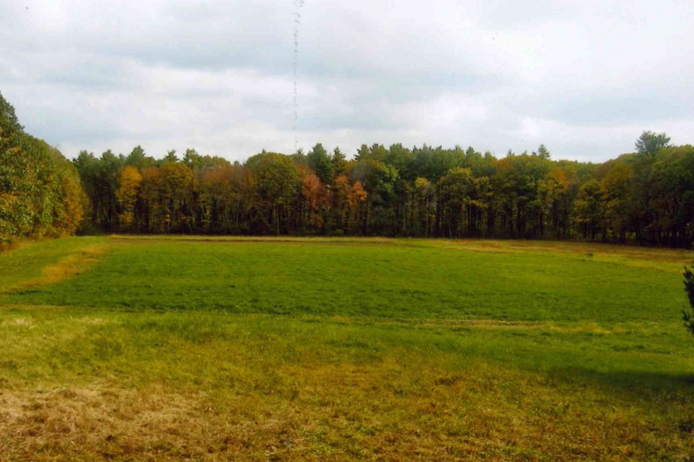
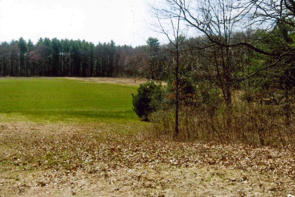
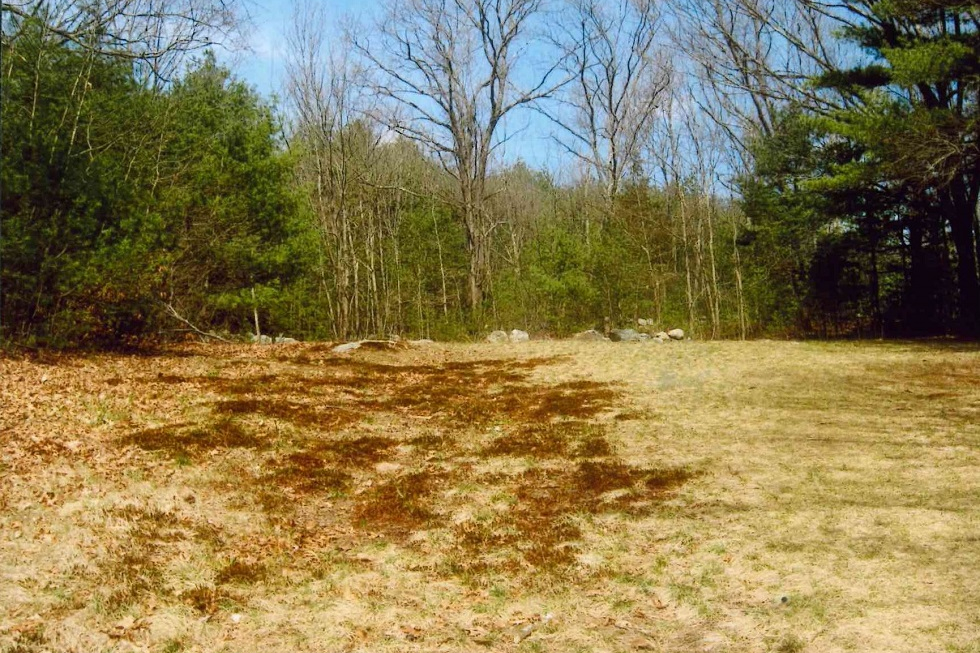
Purchased from William Hazen Davis by the Town of Sudbury in 1974, the Davis Farm Conservation Land is a 52-acre tract located in northeast part of town, on the southern side of North Road (Route 117), about a quarter mile east of the North Sudbury Fire Station. It adjoins the 29-acre Davis Field parcel, purchased by the Parks & Recreation Commission in 1975, and the 22-acre Cail Farm parcel, gifted to the Conservation Commission in 2006 Standing at not too great a distance from the parking area is the old farmhouse. This is thought to have been built circa 1715, making it one of the oldest buildings still gracing the northern part of Town. It once served as an inn for travelers along what was then the “Old Fitchburg Turnpike”. In the 18th century it was purchased by Reuben Haynes, a farmer with roots in Sudbury stretching back to 1639. A walking path connects the lot to the nearby Davis Field. This popular open area is notable for its role as a nesting spot for bobolinks, and as the site of Mass Audubon’s annual bird survey. Beyond a vehicle access gate, a wide, flat, farm road winds its way south from the lot. About 800 feet along on the right lies a small meadow. This is the site of an on-going effort to cultivate native plant species that support the local pollinator population. The road ultimately opens into an agricultural field located in the southeastern corner, near to Cold Brook. In keeping with tradition, a license to farm this area is held by a local farmer. Be alert! The access road and field are frequently traversed by tractors during the growing season. The field, pollinator meadow, and recreational field are all prime spots for birdwatching. Ascending a moderate, open slope to the right of the field leads up an old toboggan run to the forested Hilltop Trail, which features a more uneven surface and a dense, mature canopy. Another trail connects hikers to what until 2023 was the railbed of the long-discontinued Framingham and Lowell Line of the New York, New Haven and Hartford Railroad, soon to be the newest leg of the Bruce Freeman Rail Trail. This will connect trail users to other local attractions, like nearby Frost Farm Conservation Land, as well as points in Concord and beyond. Trail Challenges The primary trail at Davis Farm is wide and generally flat. The main trail in the forested area leading to the sledding slope and the main field is wide with small slopes in some areas. Walking the toboggan area involves a moderate, continuous slope. Trails within the forested area beyond the farming field contain some tree roots, rocks, and heavy vegetation. Parking A small parking lot serving trail users is located off of North Road, on the right as you pass Windmill Drive and the Bruce Freeman Rail Trail heading toward Concord. A gated farm road extends beyond the parking area. No motorized vehicles are allowed beyond this gate. Trail Comments
Trail Videos Davis Farm – Highlights Davis Farm – Trail Hike Trail Photographs |
|
Categories:
Conservation Land
|

DescriptionThe Davis Field facility has two large multipurpose fields. Field Permit Information: Driving Directions195 North Rd Facilities at this Location
Groups who use this FacilitySudbury Youth Soccer Photographs of this Facility
|
|
Categories:
Meeting Location, Recreation Area
|
|
Department of Public Works Building |
|
Categories:
Town Building
|
|
Department of Public Works Building – Conference Room |
|
Categories:
Meeting Location, Remote Participation Meeting Location
|
|
Department of Public Works Building |
|
Categories:
Meeting Location, Remote Participation Meeting Location
|
|
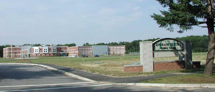
Ephraim Curtis Middle School |
|
Categories:
Meeting Location, Town Building
|
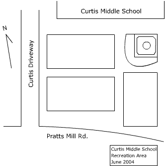
DescriptionCurtis Middle School has a 60′ softball diamond, a 90′ baseball diamond, and a combination lacrosse/soccer field. Field Permit Information: Driving Directions22 Pratt’s Mill Rd Facilities at this Location
Photographs of this Facility
Groups who use this FacilitySudbury Youth Soccer Site Plan
|
|
Categories:
Recreation Area
|