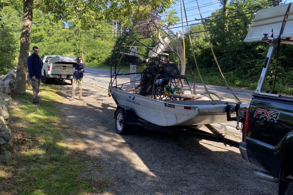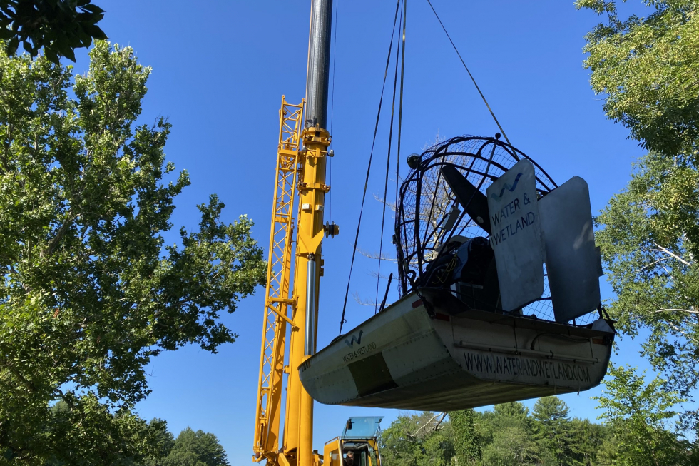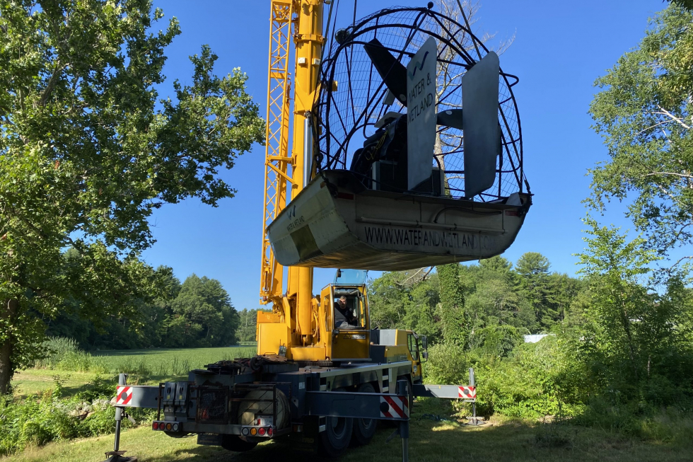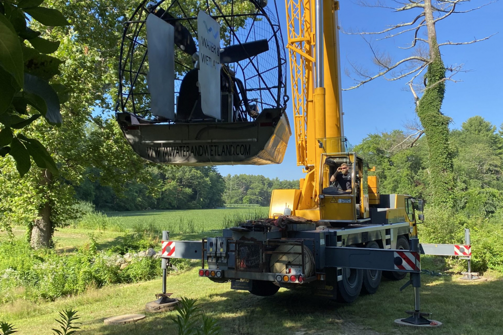
Grist Mill Pond Water Chestnut Management
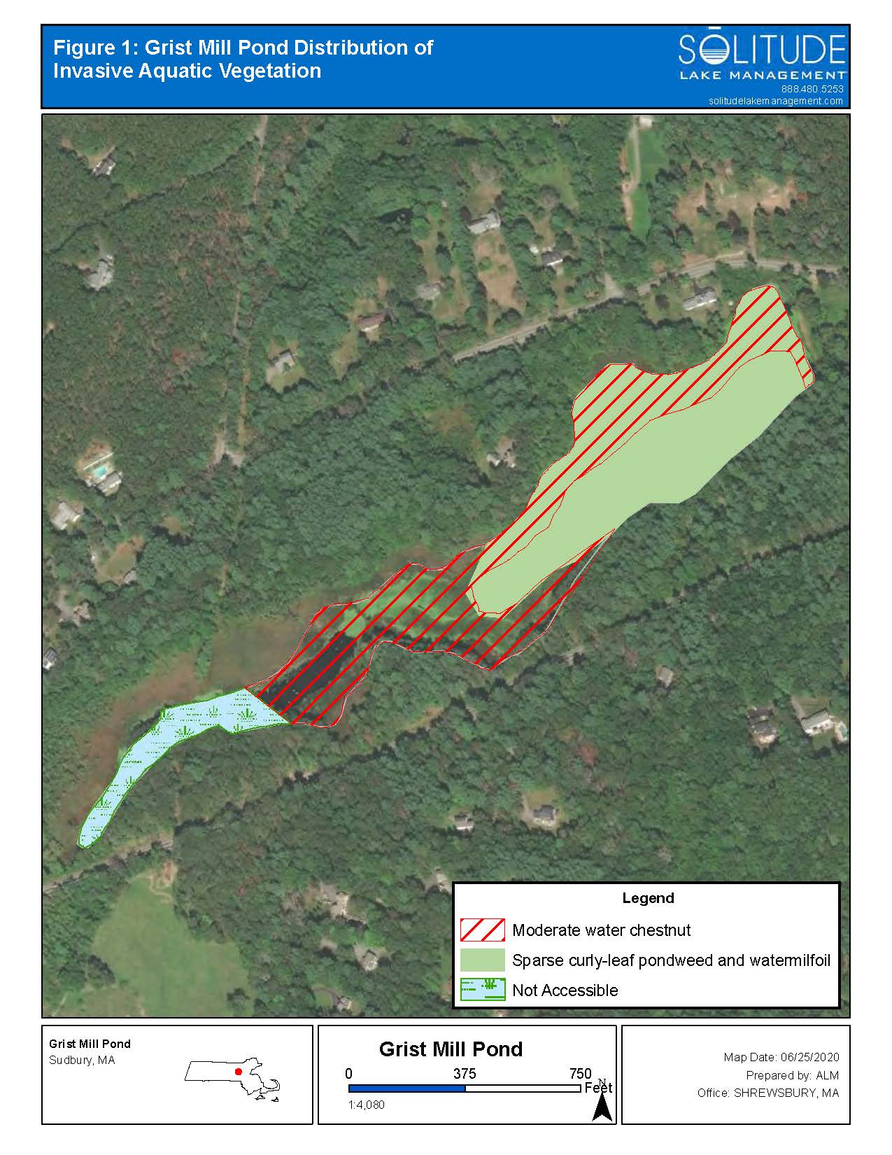
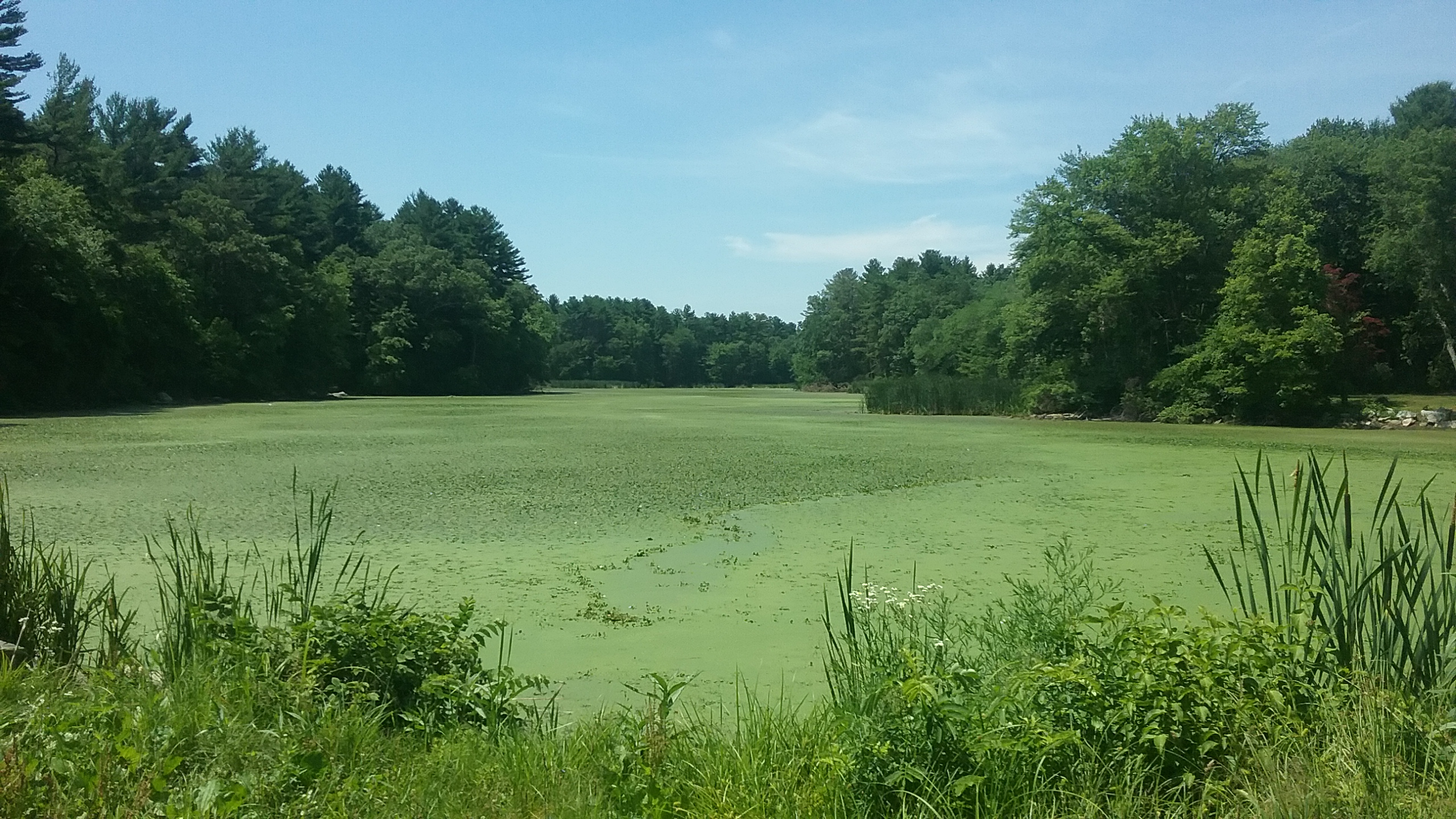
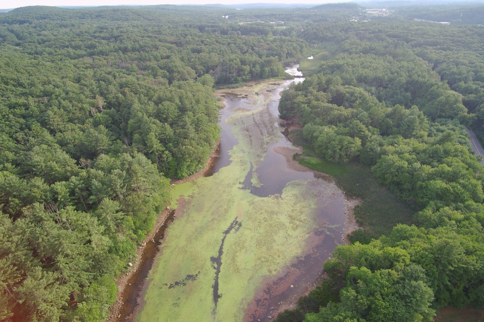
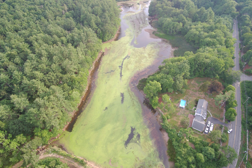
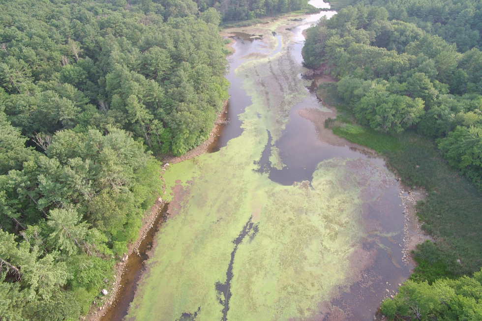
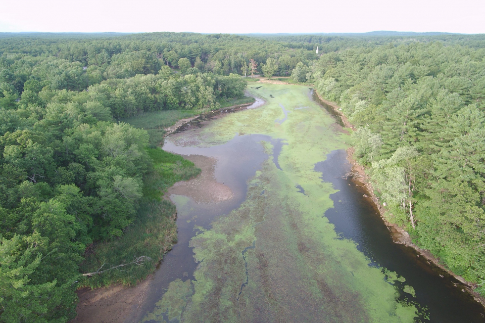
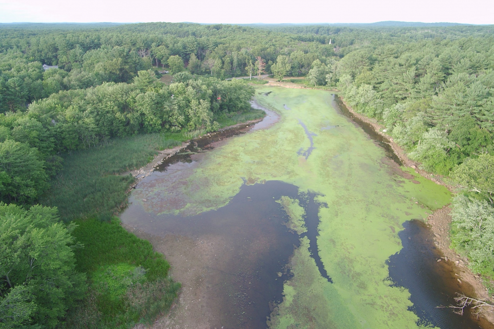
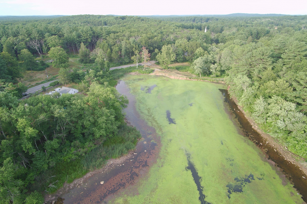
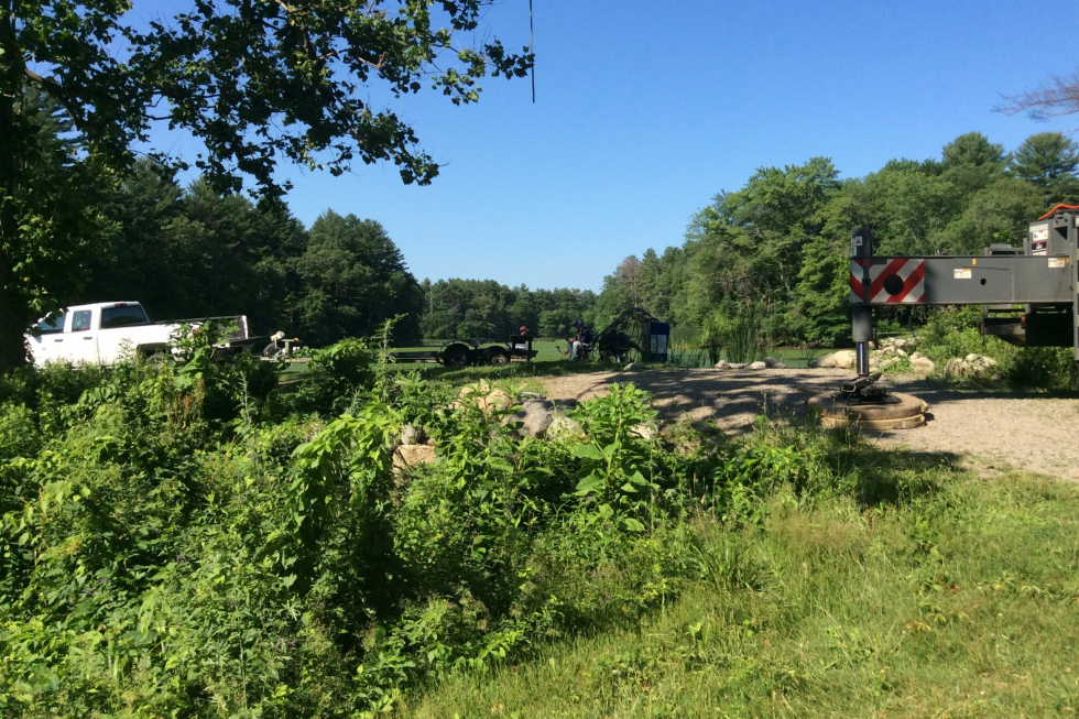
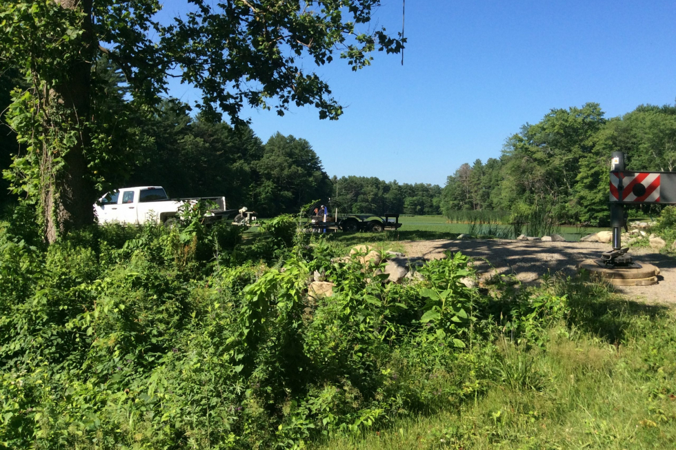
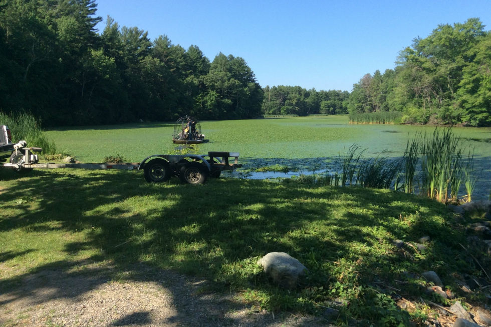
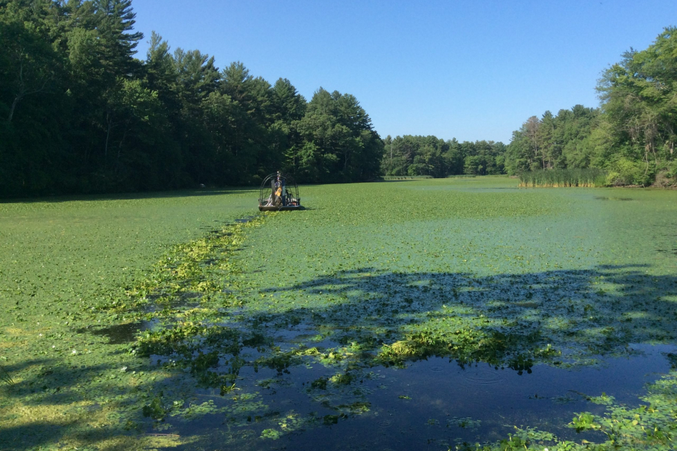
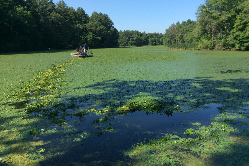
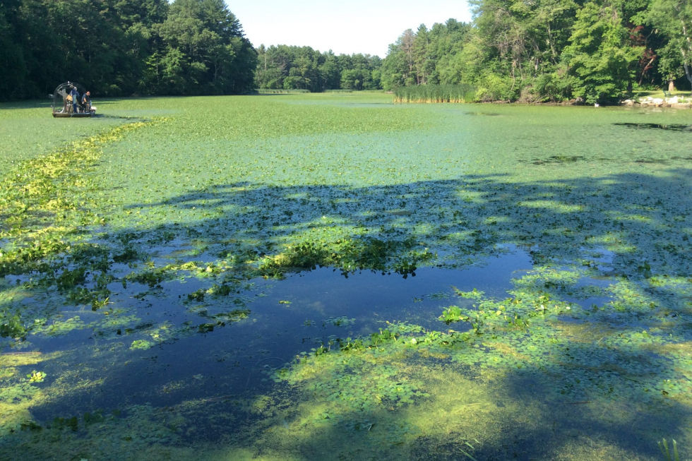
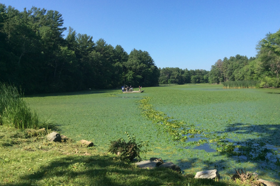
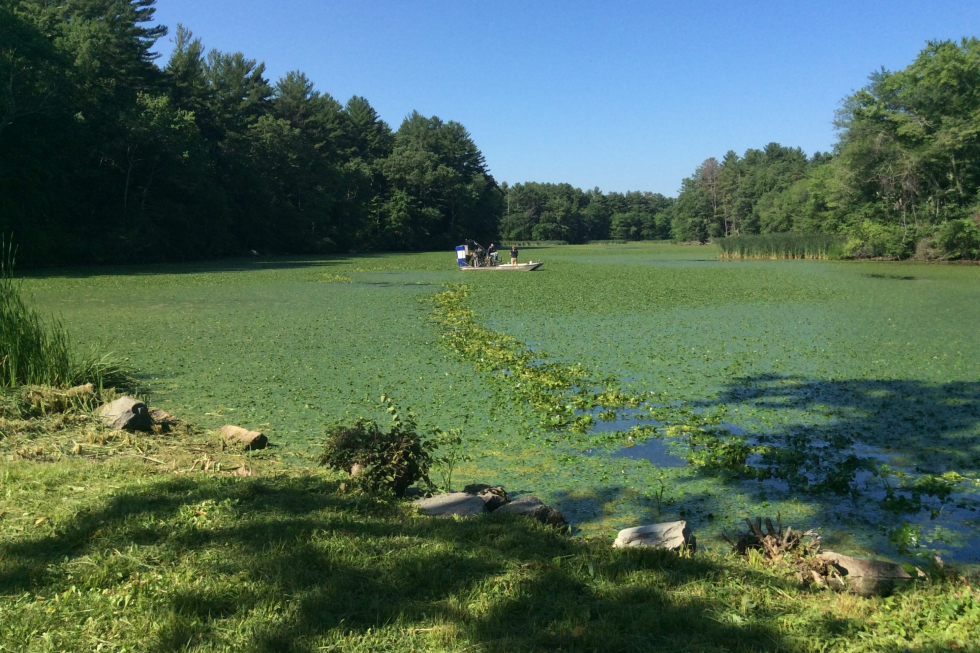
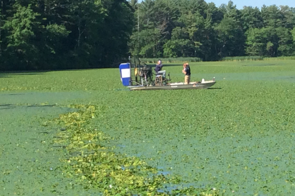
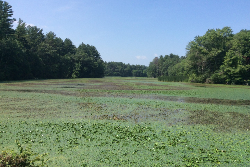
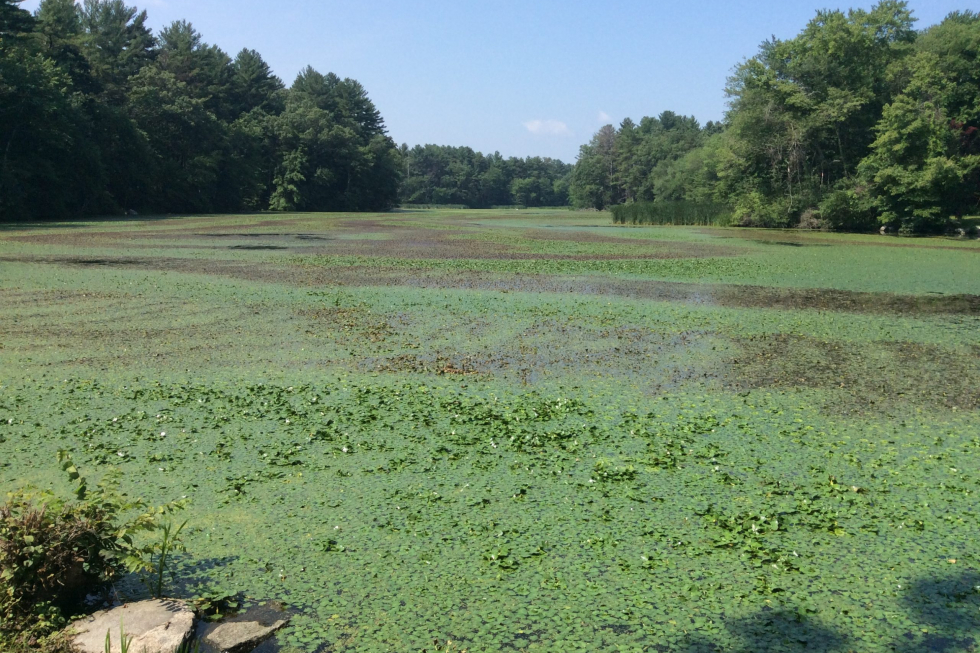
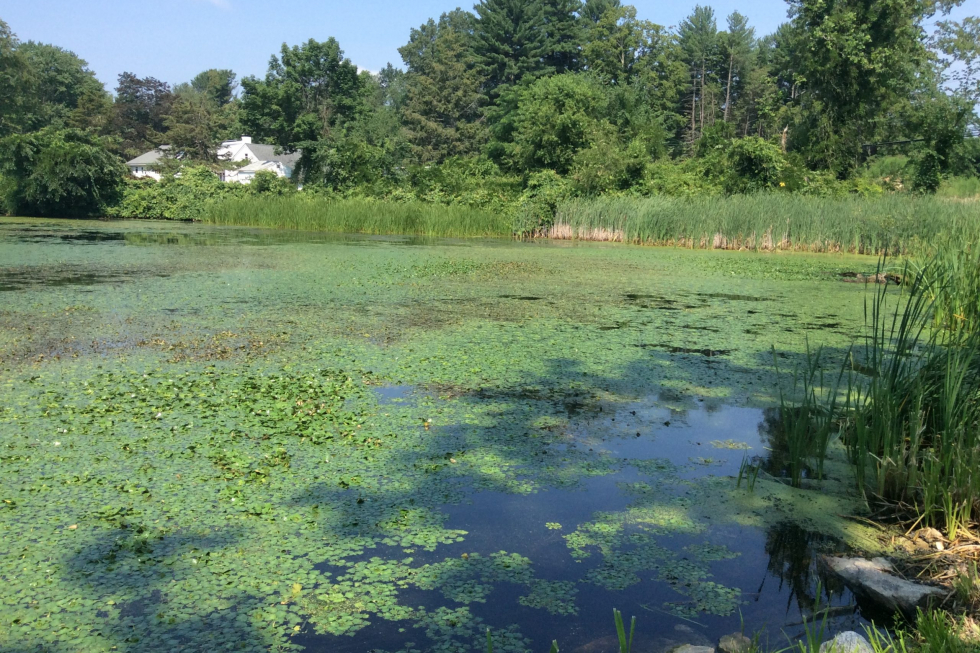
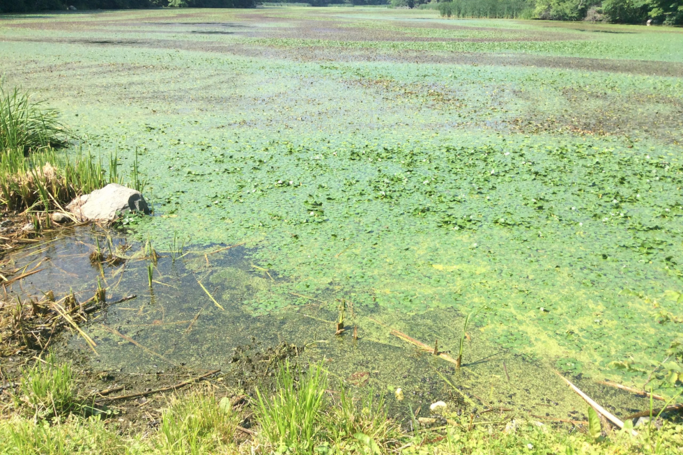
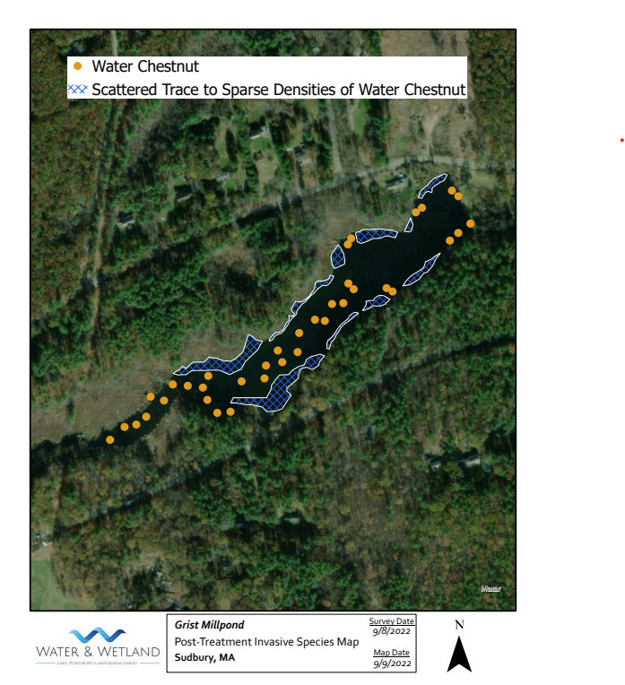
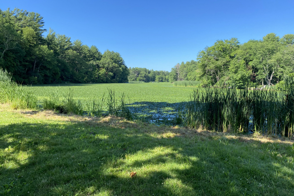
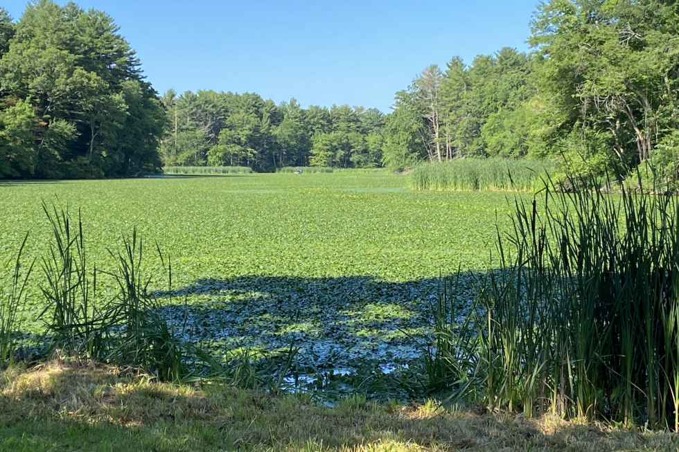
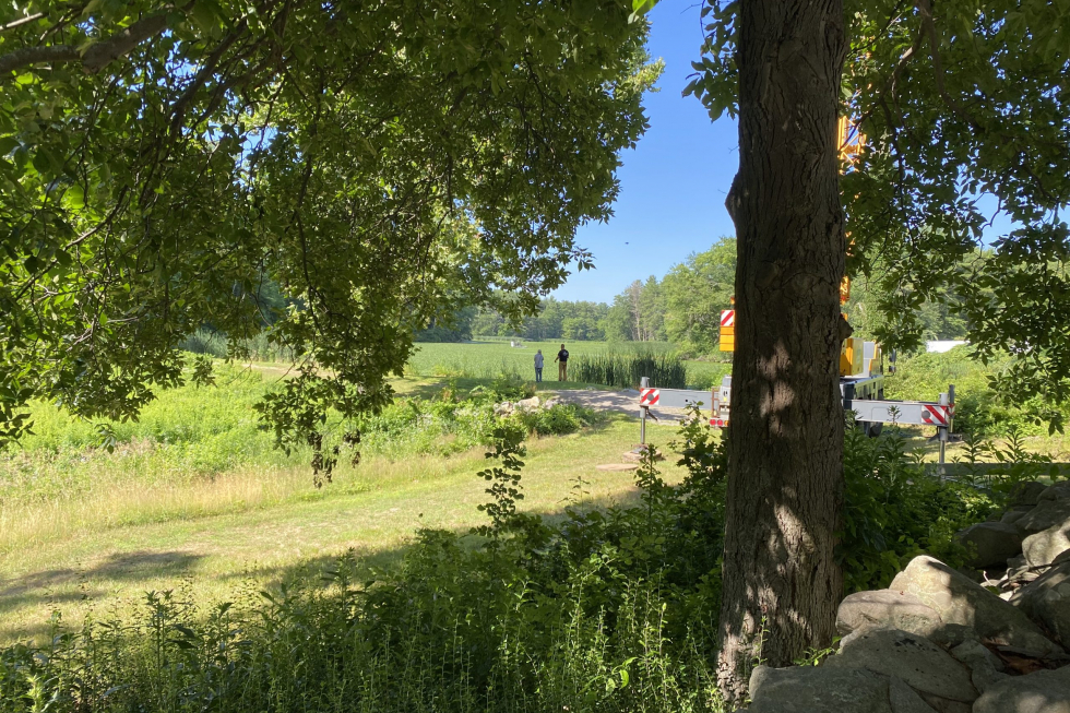
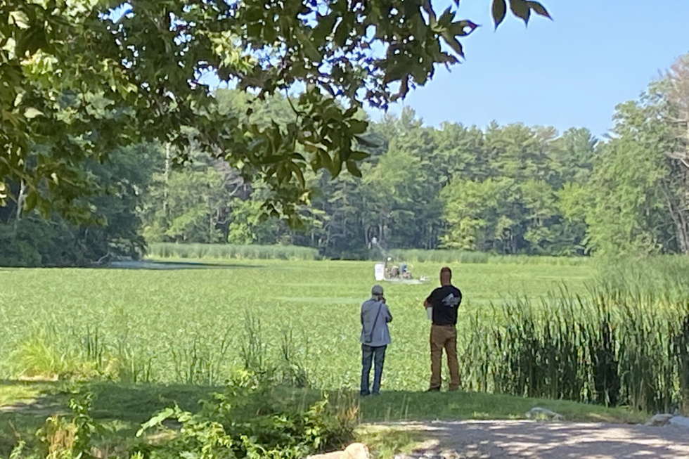
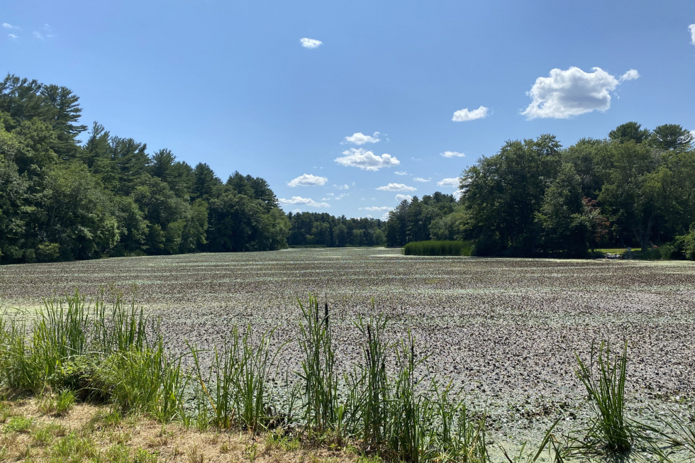
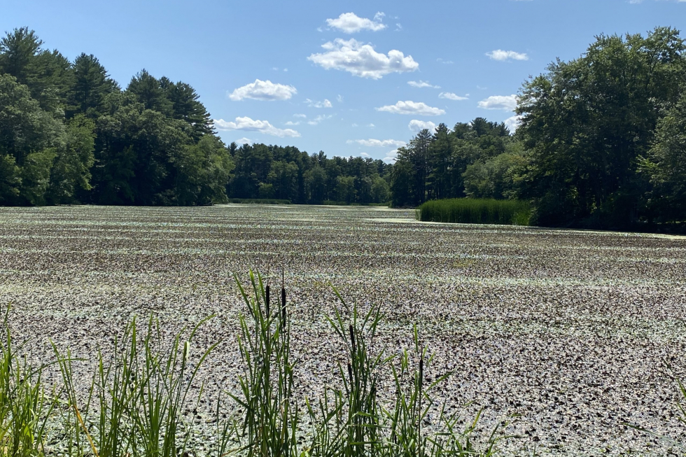
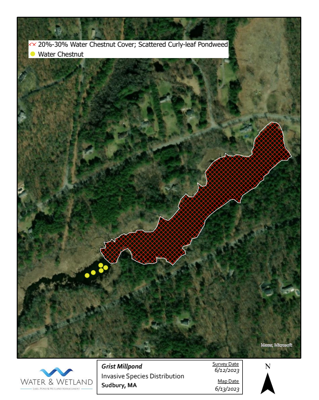
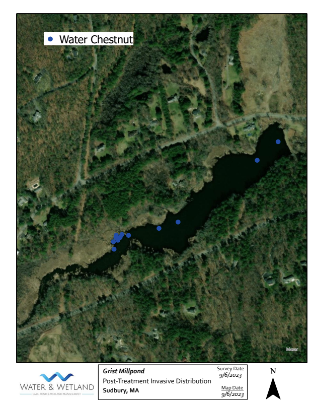
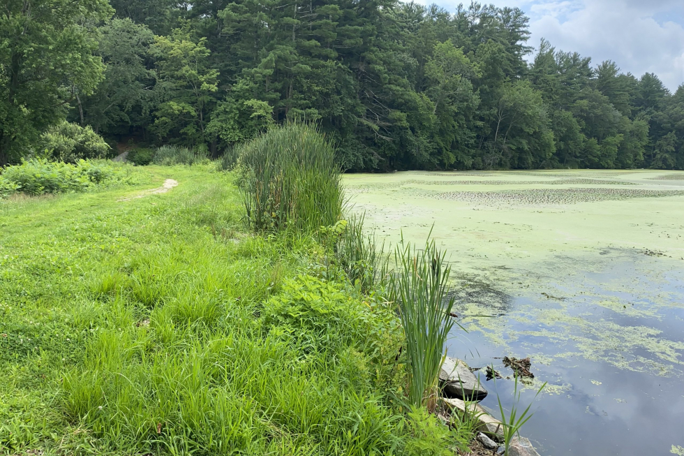
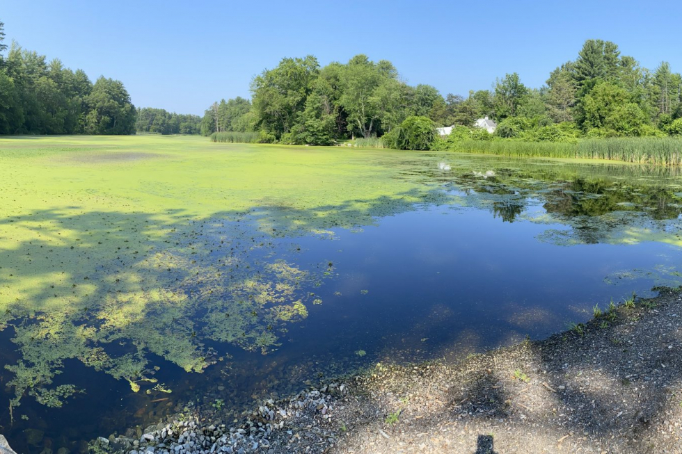
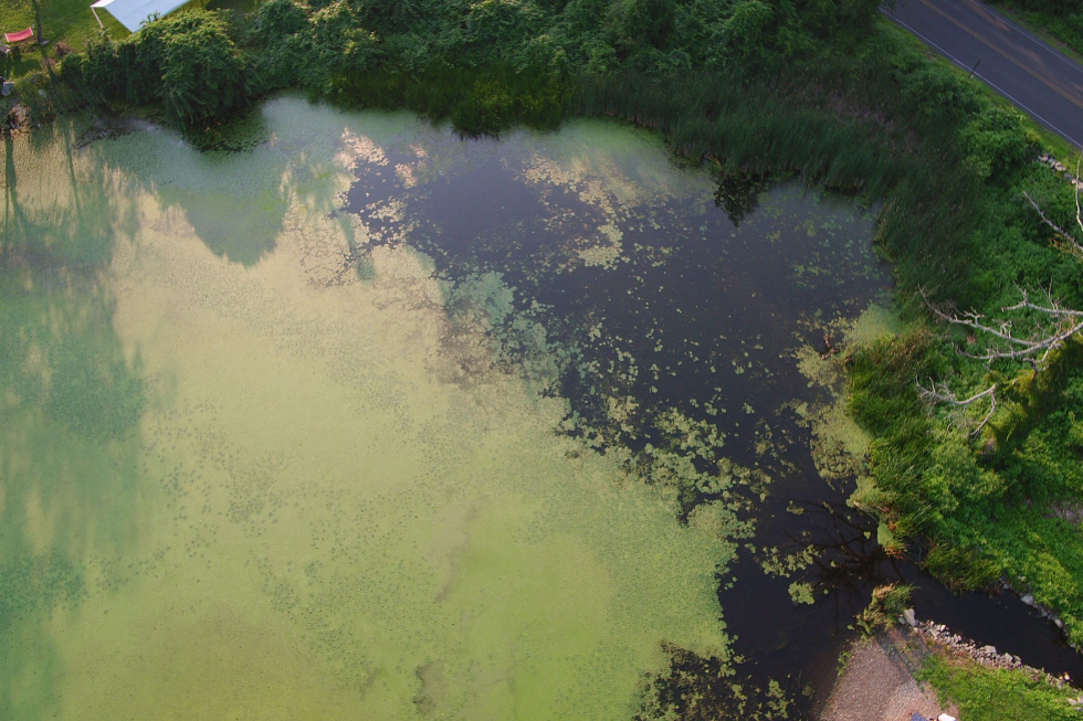
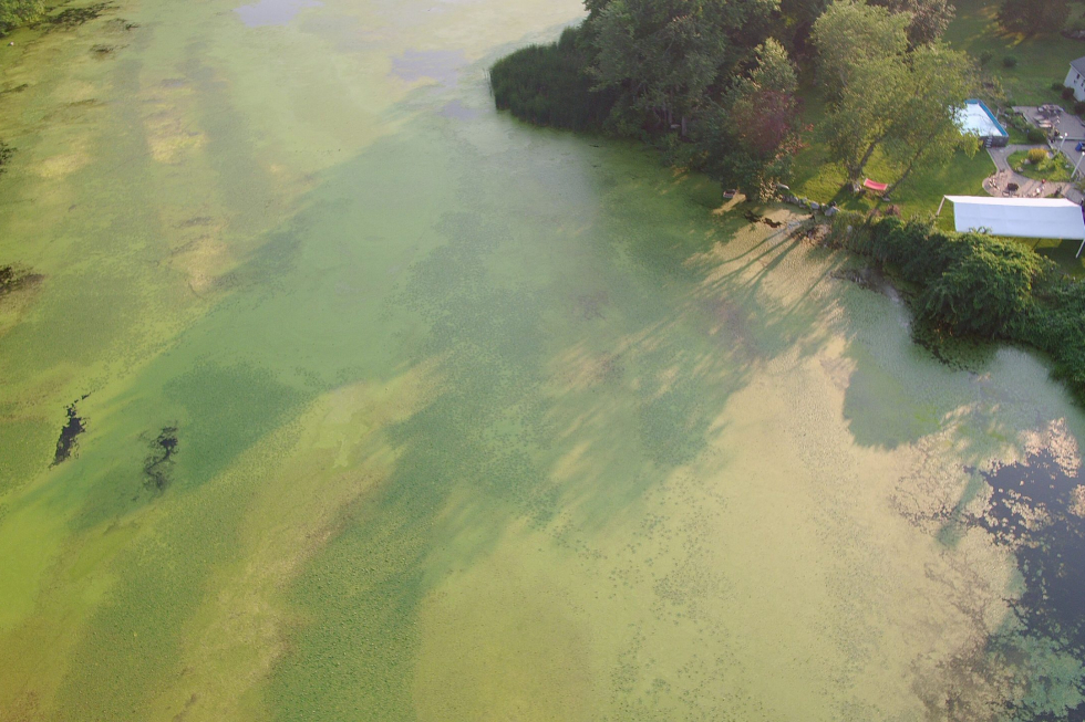
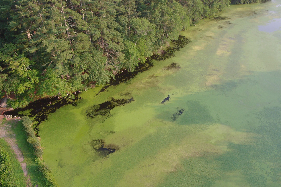
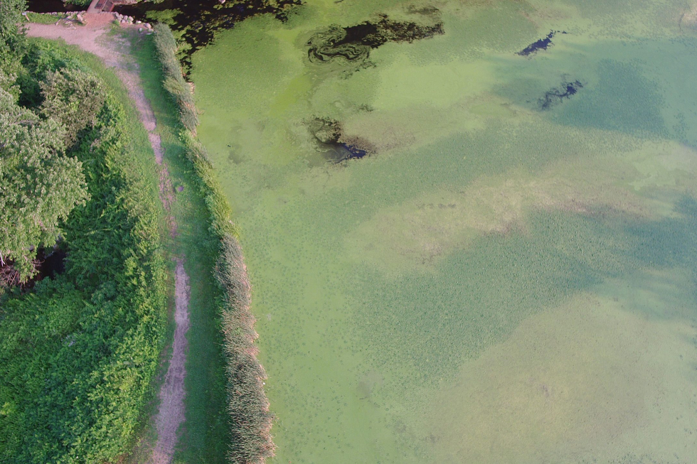
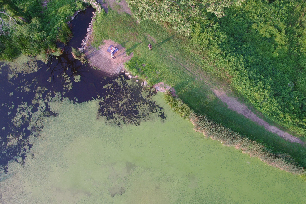
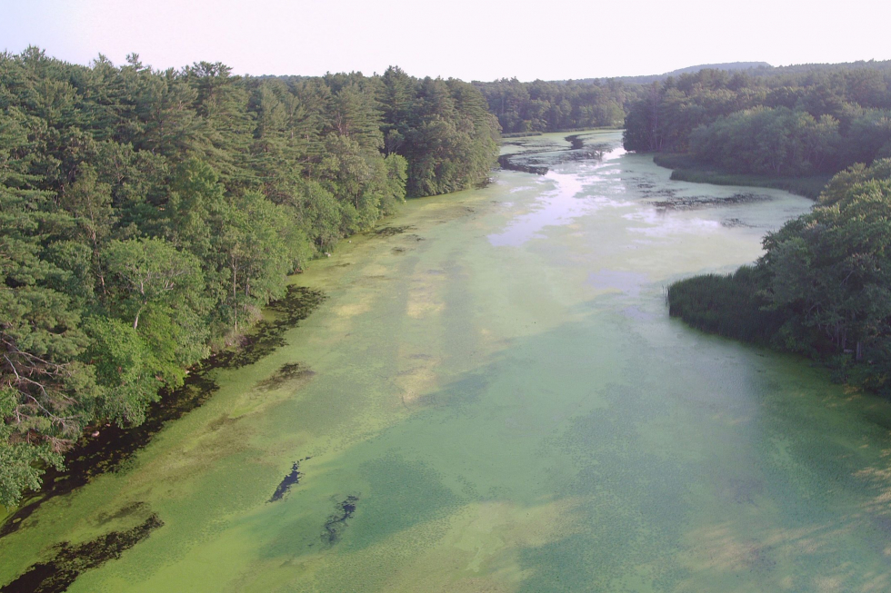
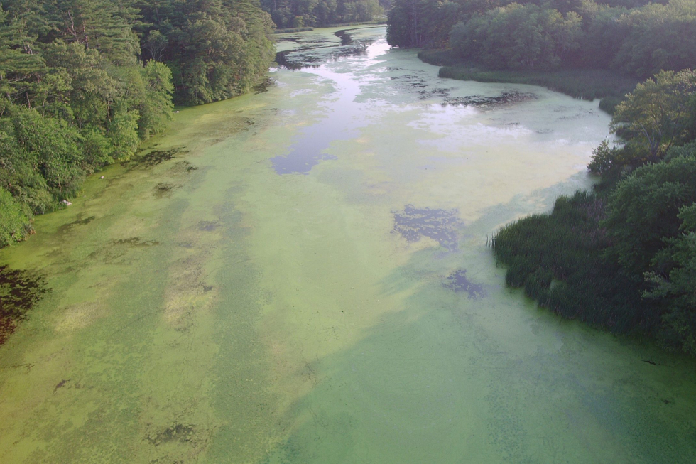
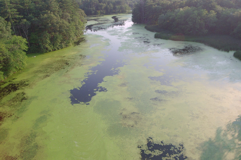
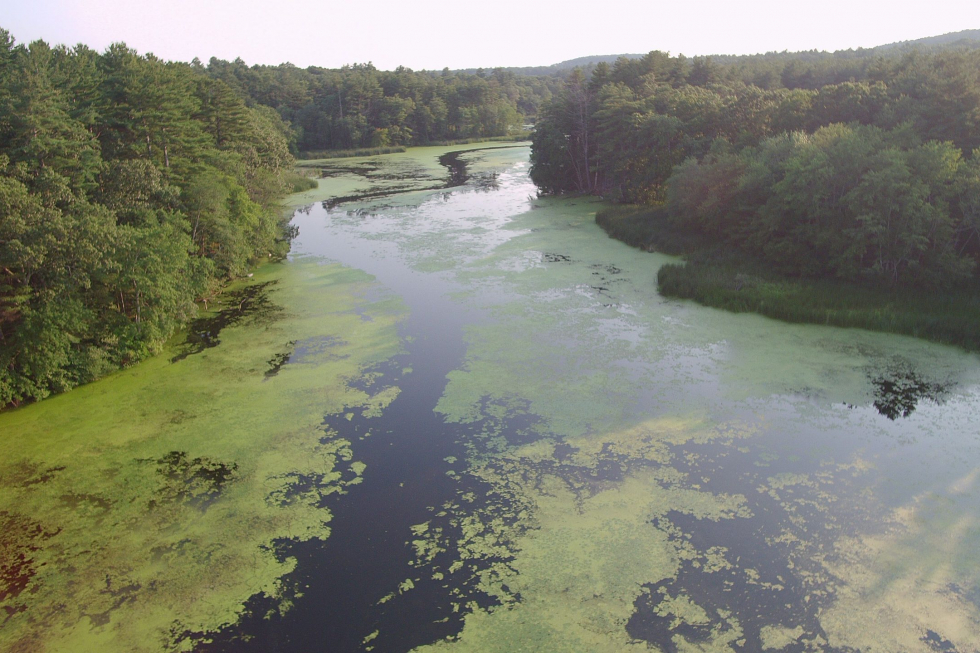
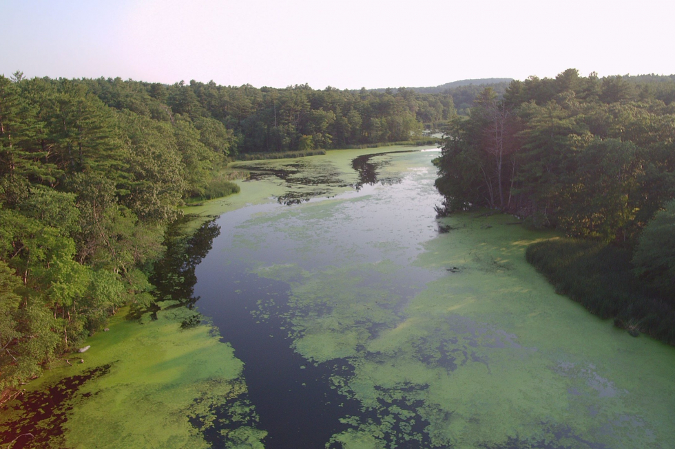
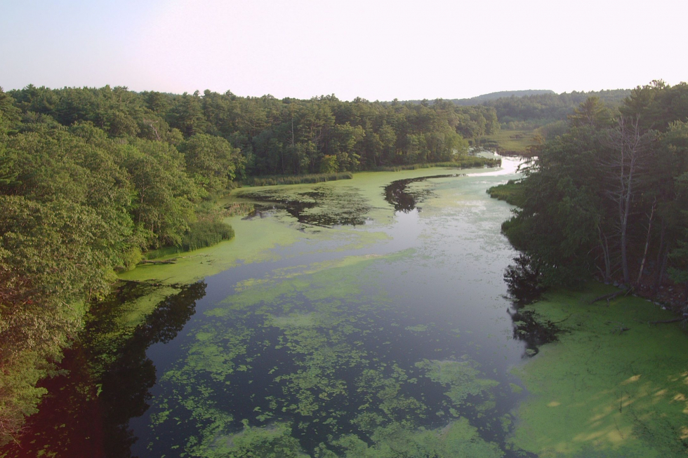
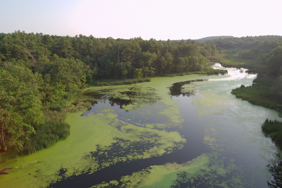
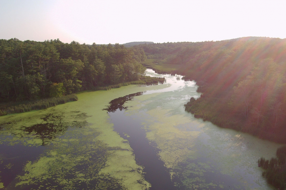
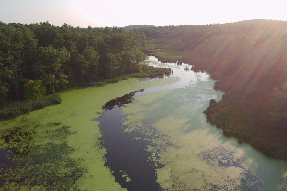
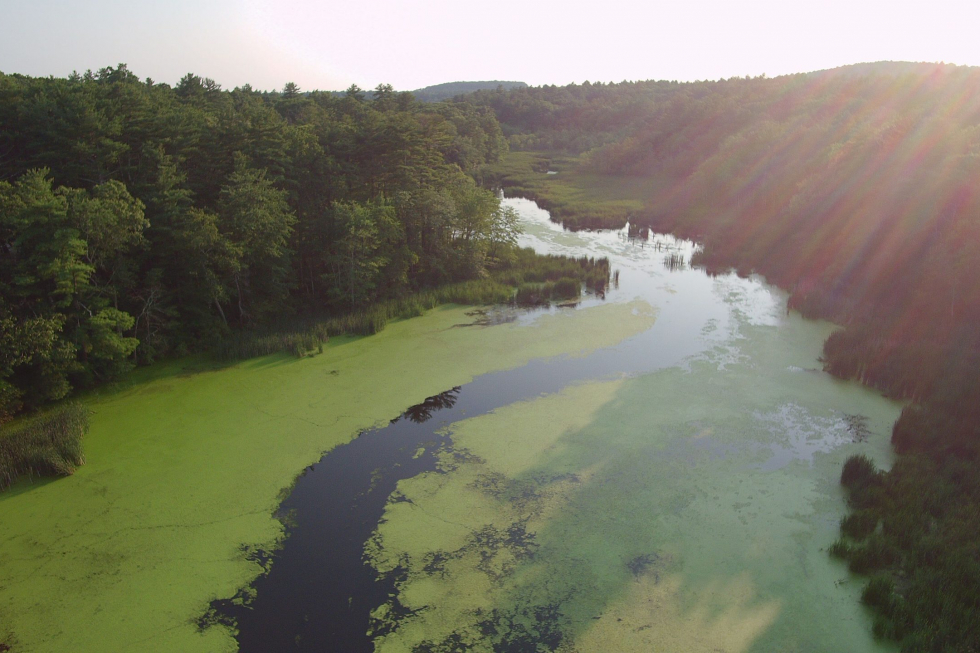
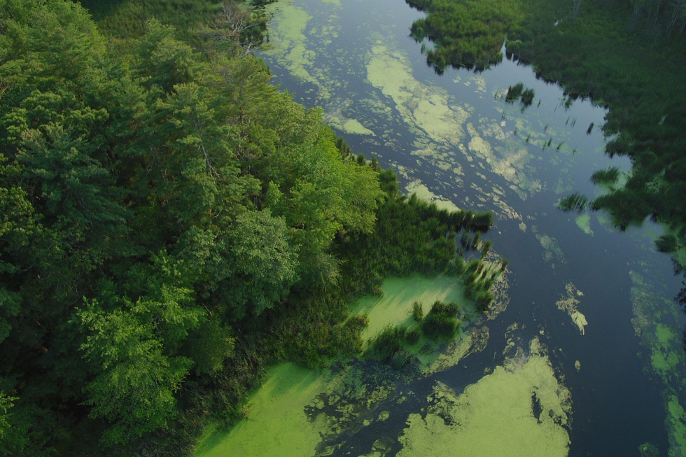
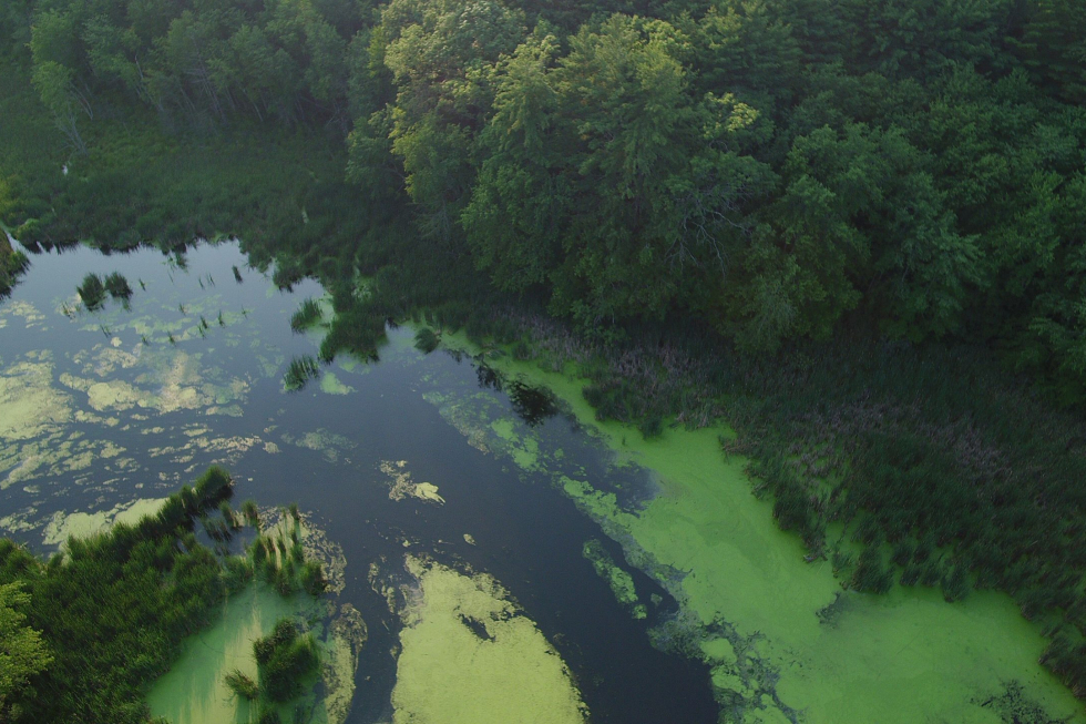
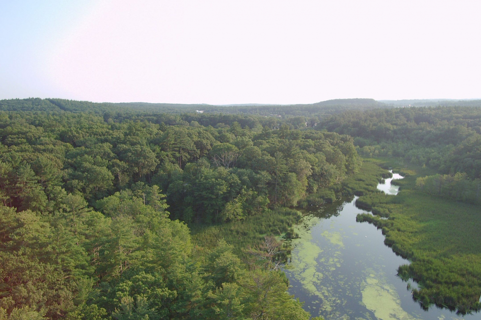
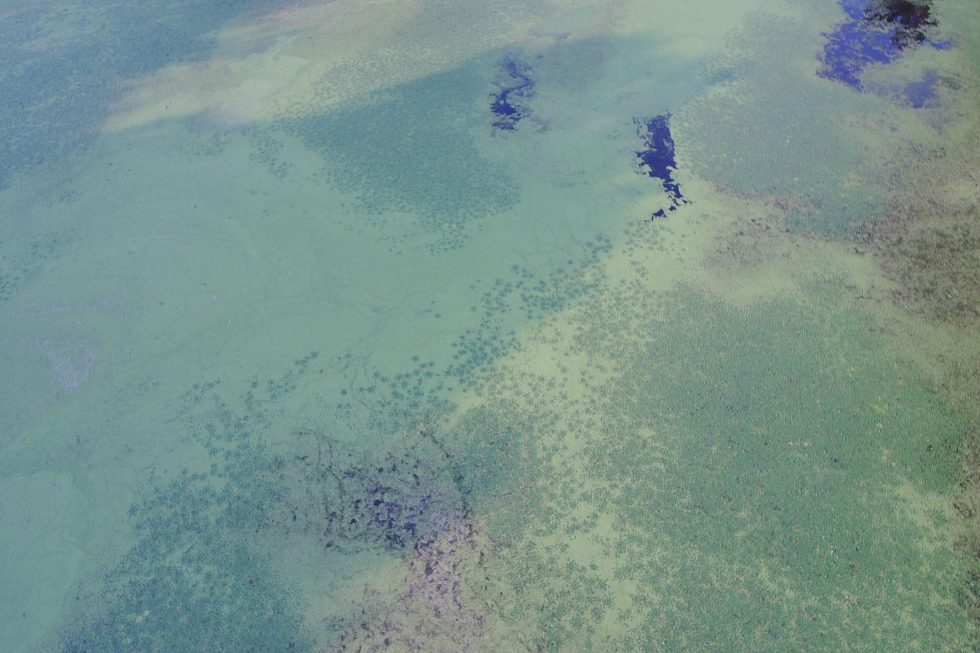
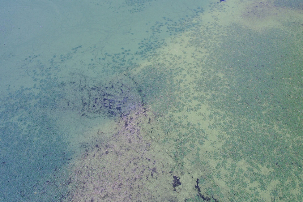
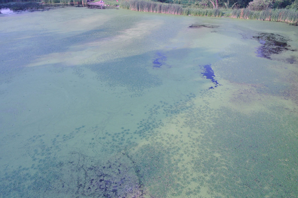
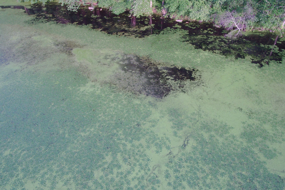
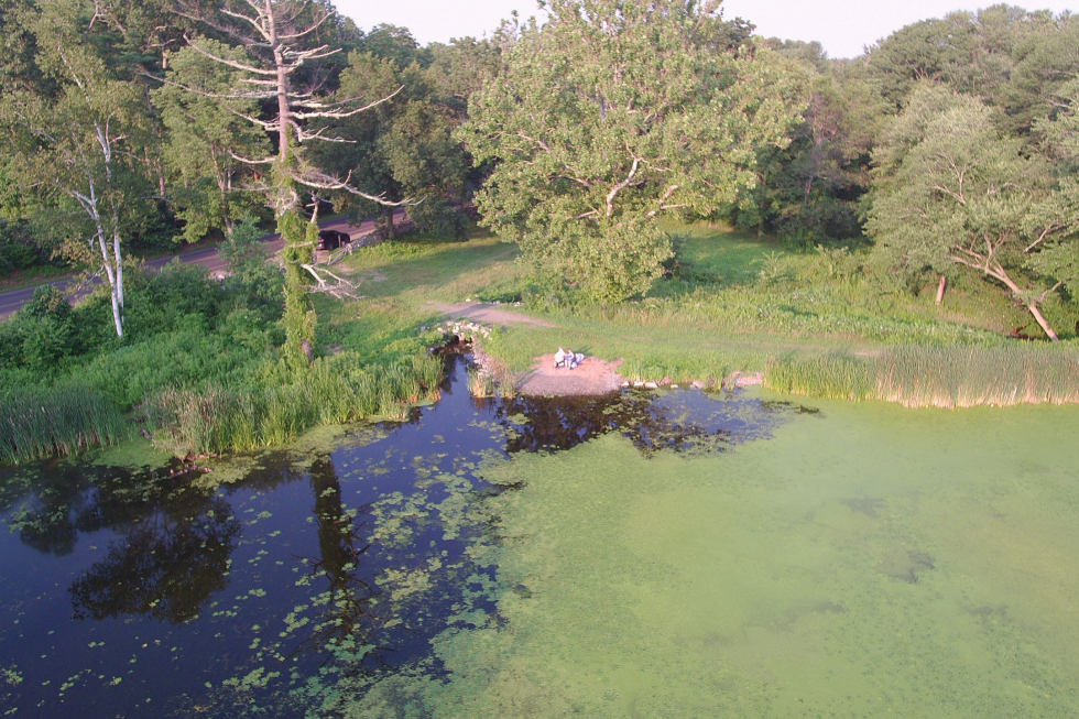
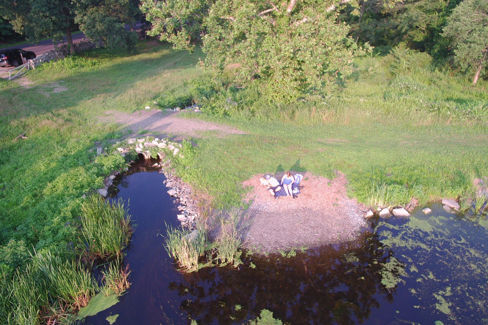
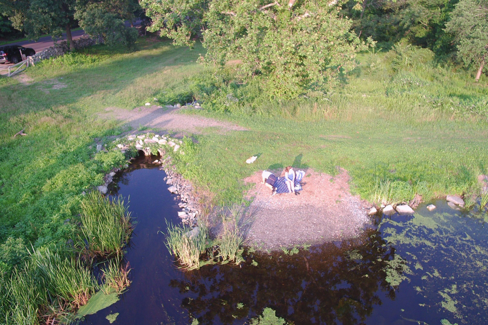
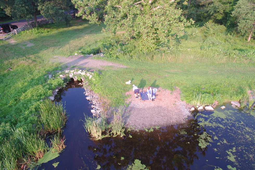
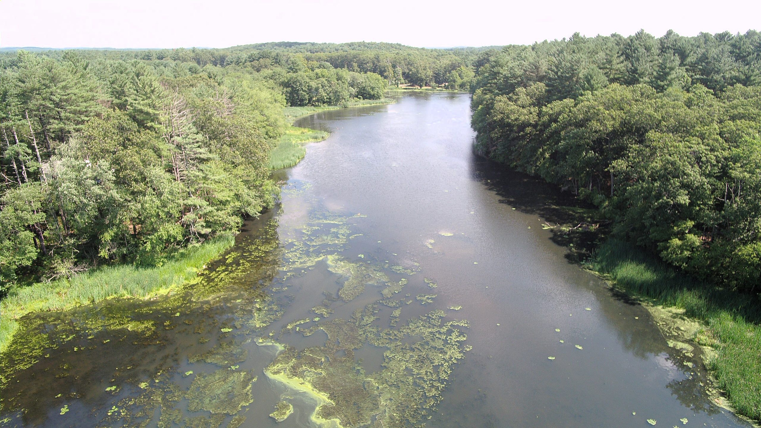
| Located on Wayside Inn Road, Grist Mill Pond is a 16.7-acre man-made impoundment, with a 2.84 square mile watershed, suffering from eutrophication. As the the most impacted of the three ponds, approximately 14.5 acres of the pond was covered by water chestnut and is considered by the State to be impaired due to the presence of non-native aquatic plants, low dissolved oxygen, excess algal growth, fecal coliform and high total phosphorus. Bathymetric mapping has determined the average depth of the pond to be between 2.2 and 4.8 feet with a maximum depth between 8.5 and 9.8. This shallow depth allows light to penetrate to the pond bottom. The soft, nutrient rich, sediment was found to have an average thickness of 0.6-1.4 feet, and a maximum depth of 3-6.5 feet. Pre-treatment mapping of water chestnut in 2023 demonstrated that the population has been reduced to about 1/3 of the original population.
|
|||
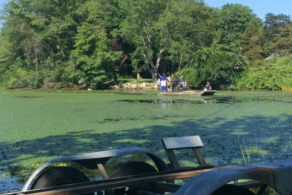
| 2020: Treatment Year 1
Hop Brook Ponds 2020 Survey Report Hop Brook Ponds 2020 Year End Report |
|||
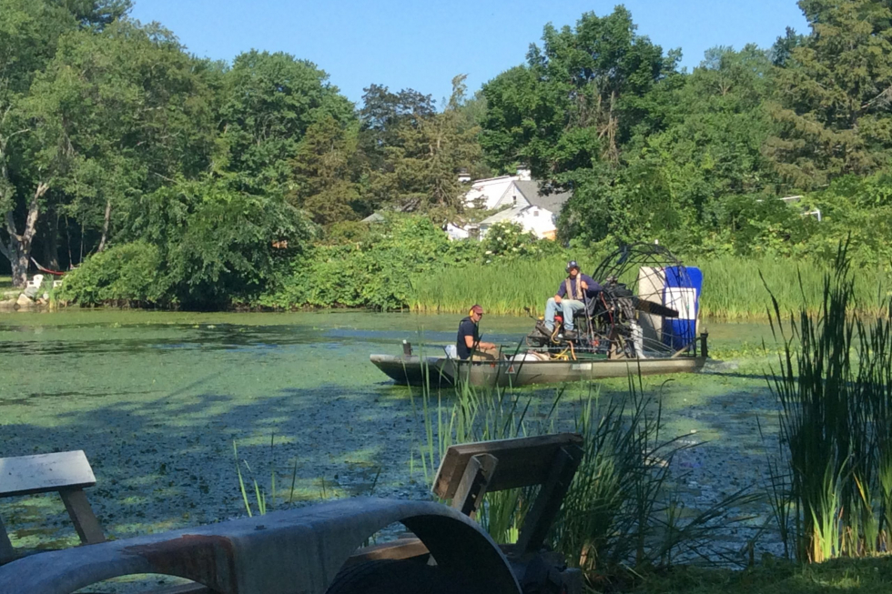
| 2021: Treatment Year 2In 2021, treatments were initially effective because there was extensive regrowth later in the season.
|
|||
|
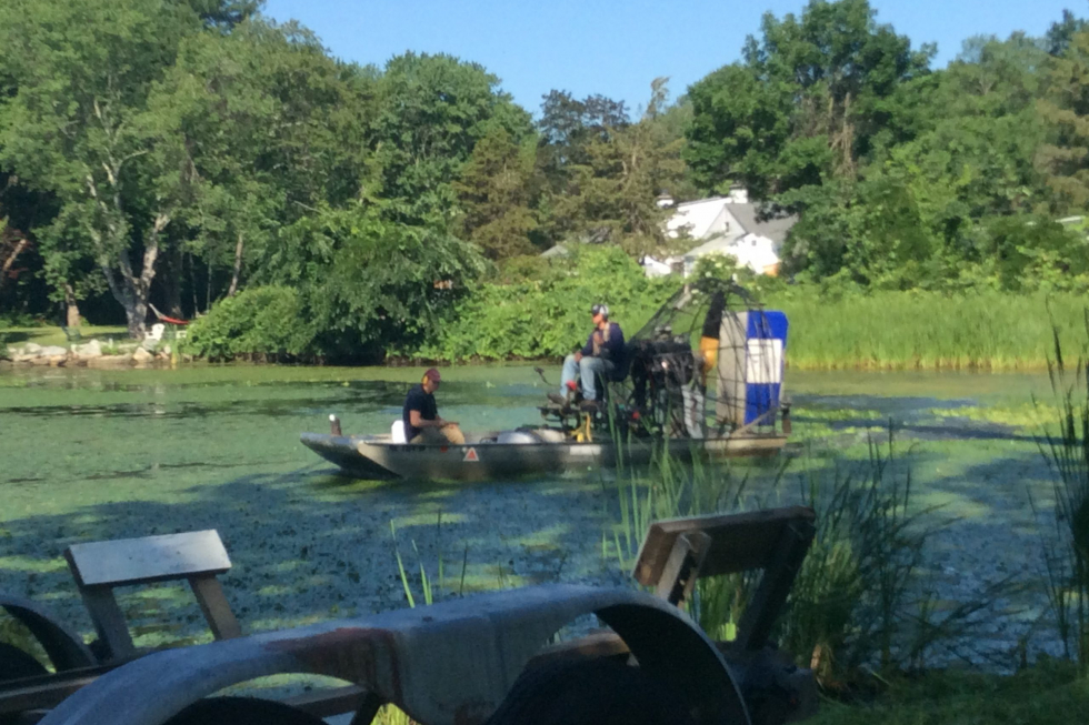
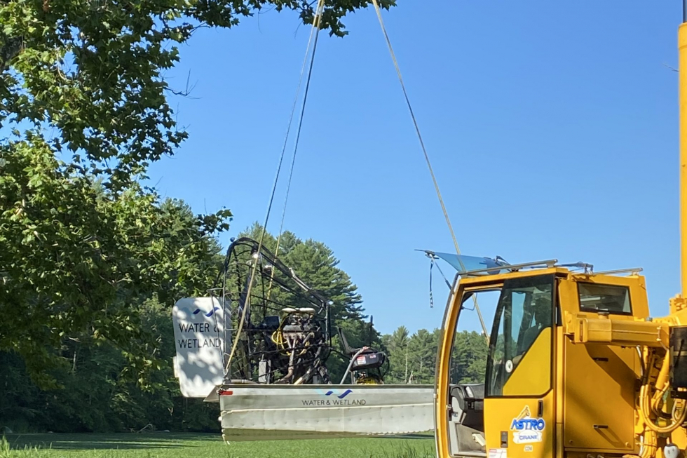
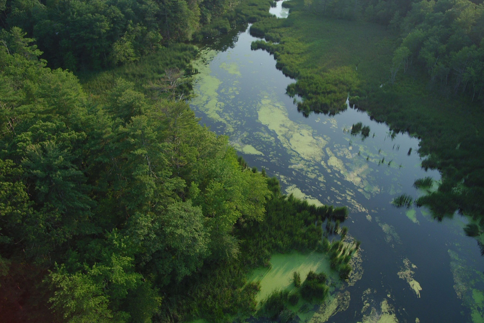
2022: Treatment Year 3 The pond received multiple treatments in 2022. Follow-up surveys showed continued improvement, with water chestnut reduced to trace to moderate levels, mainly along the shoreline and in the western half. Most remaining plants were unhealthy, and the eastern half of the pond remained mostly open water.
Hop Brook Ponds 2022 Pre-Treatment Report Hop Brook Ponds Field Notes 7.7.2022 Hop Brook Ponds Field Notes 7.21.2022 |
|||
|
2023: Treatment Year 4
|
|||
|
2024: Treatment Year 5
|
|||
|
2025: Treatment Year 6 |