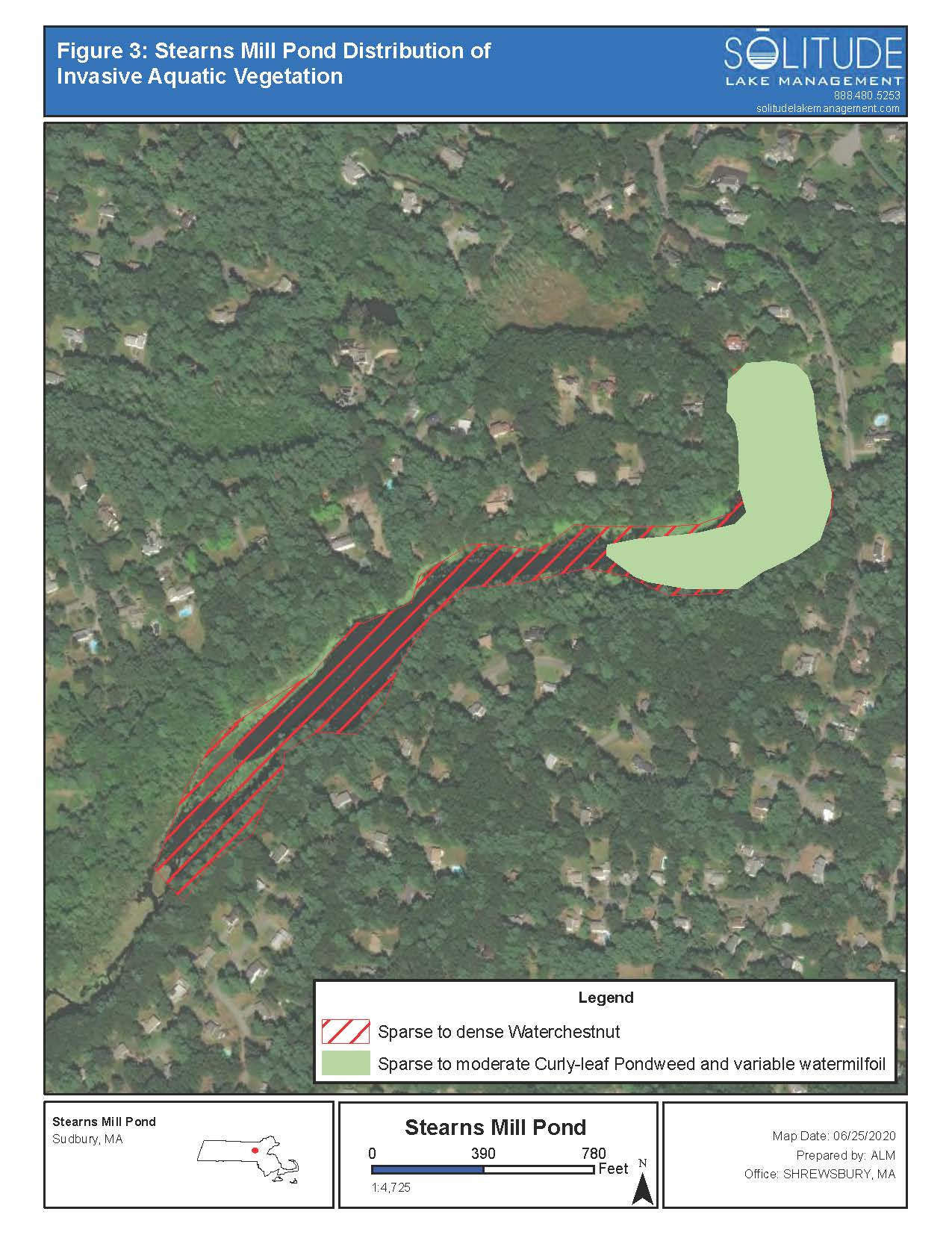
Stearns Mills Pond Waterchestnut Management
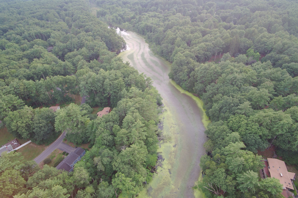
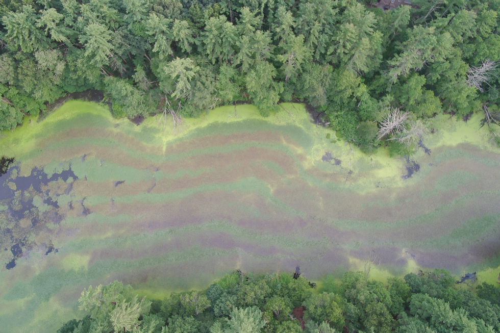
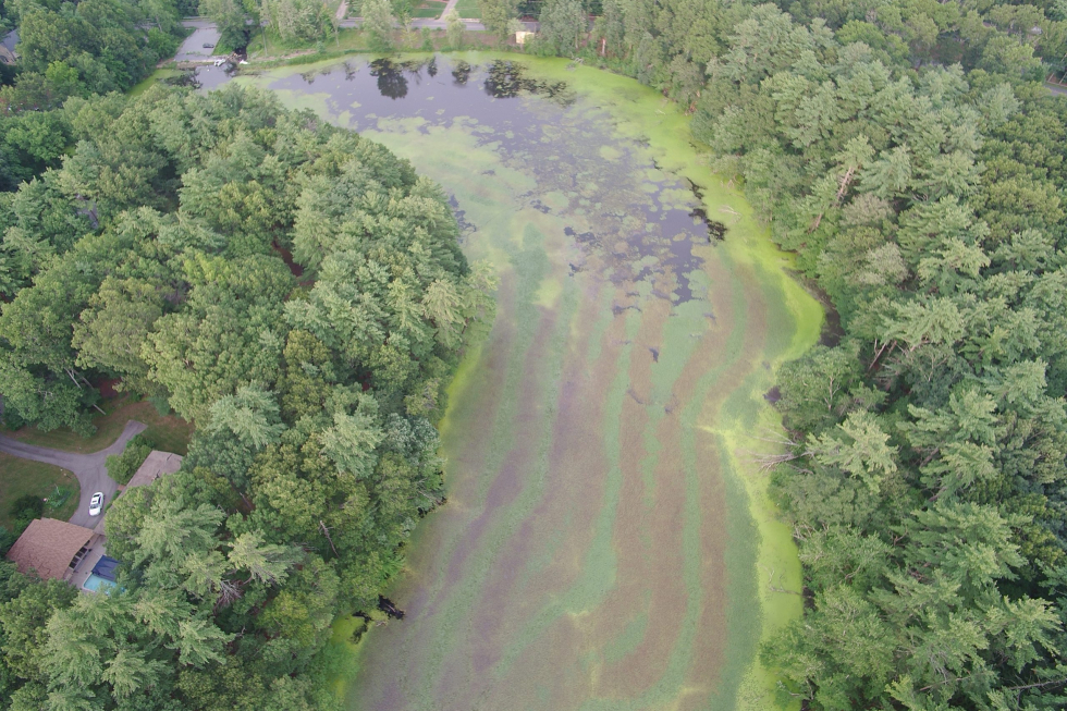
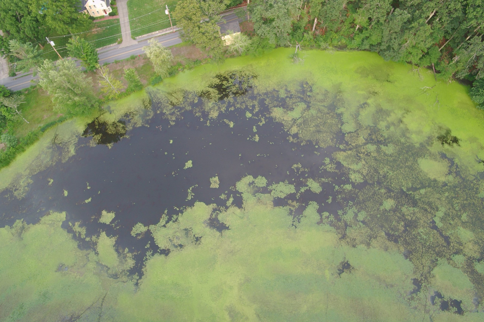
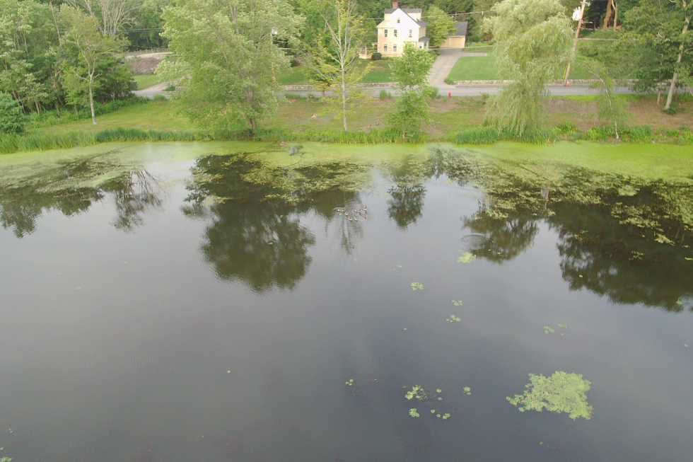
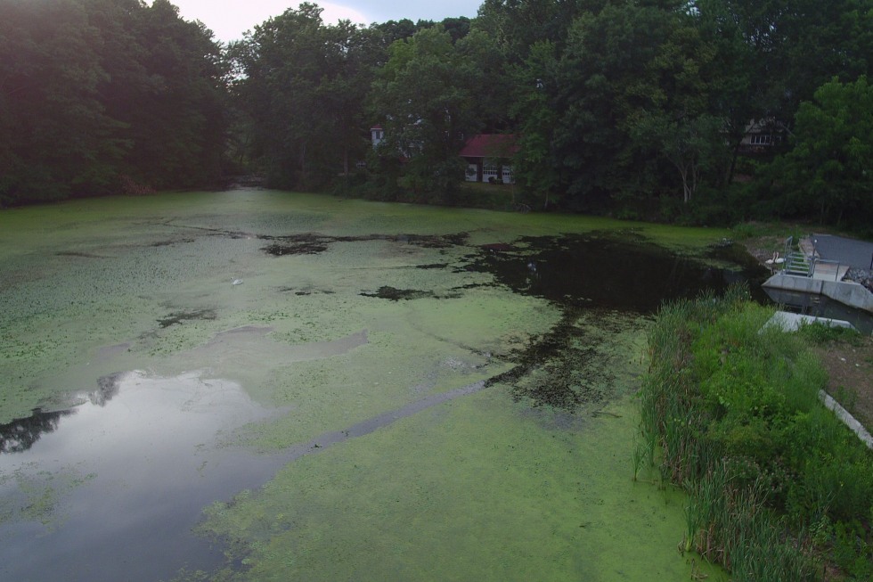
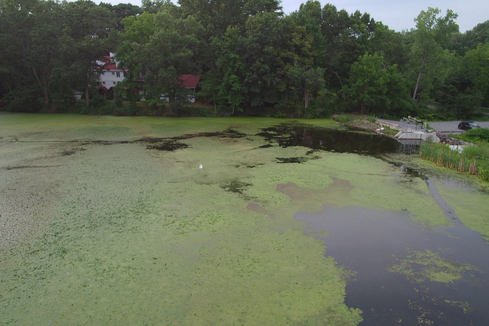
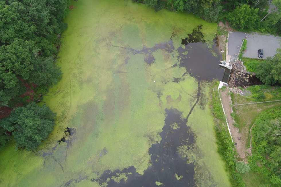
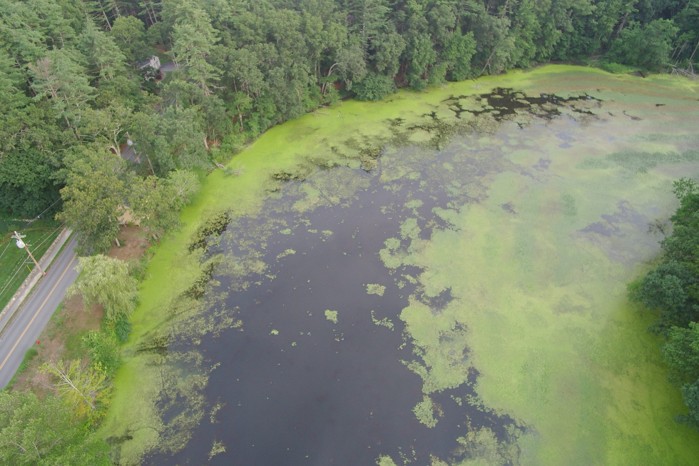
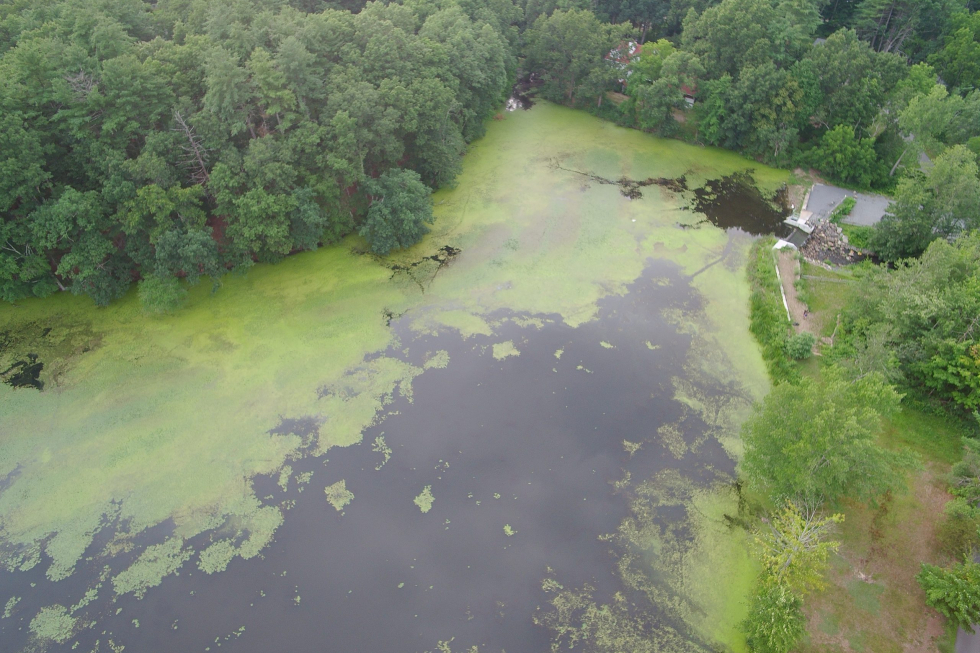
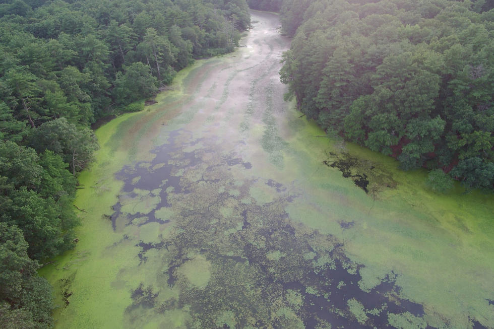
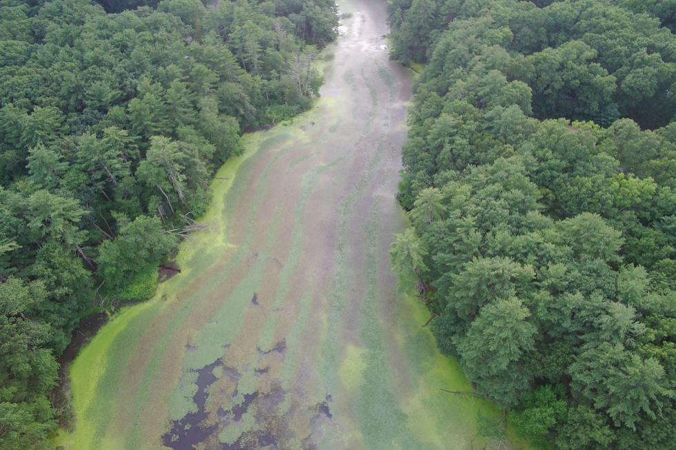
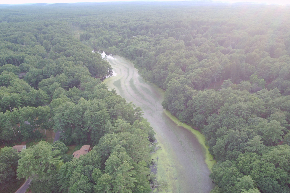
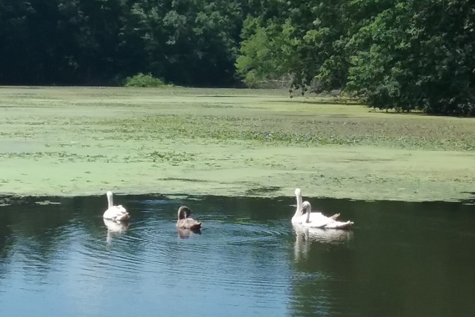
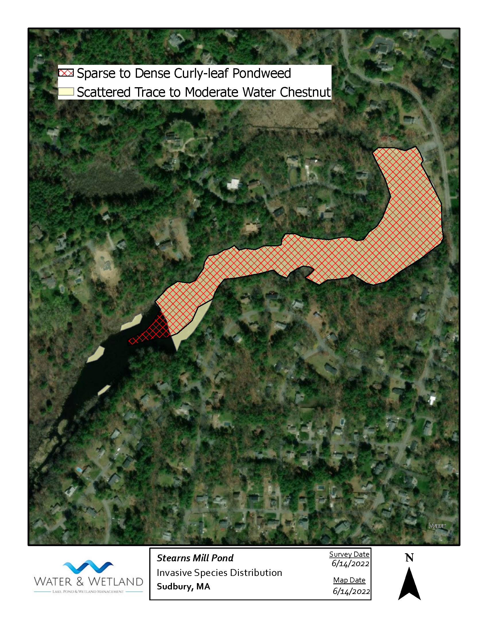
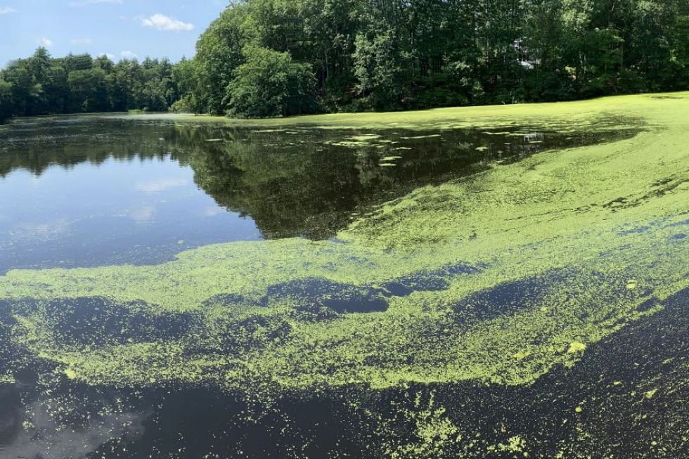
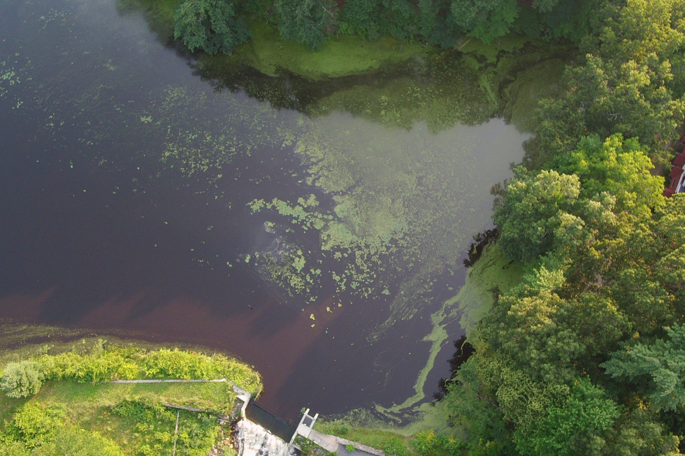
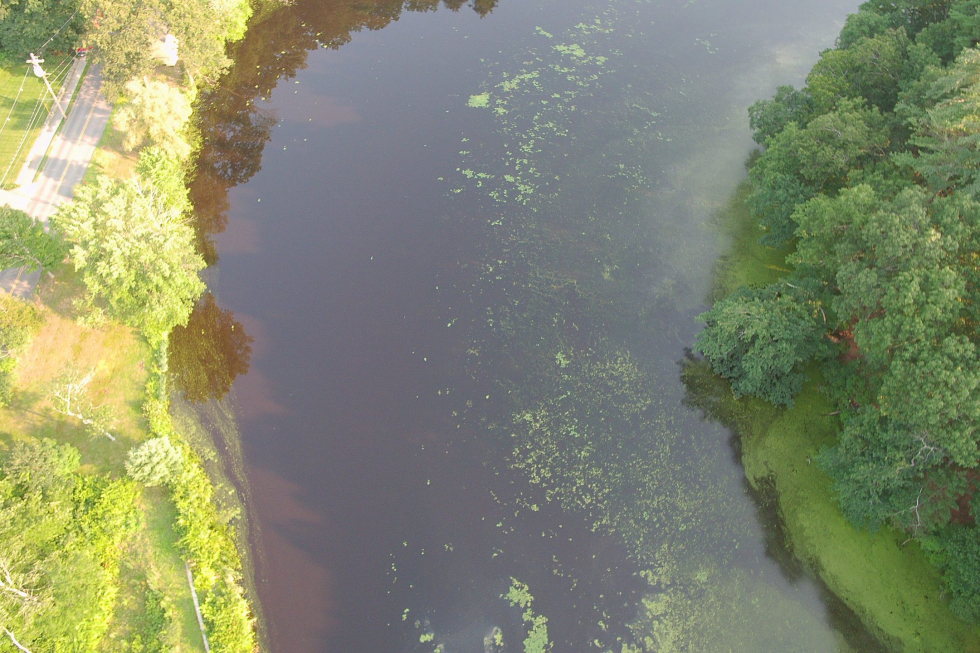
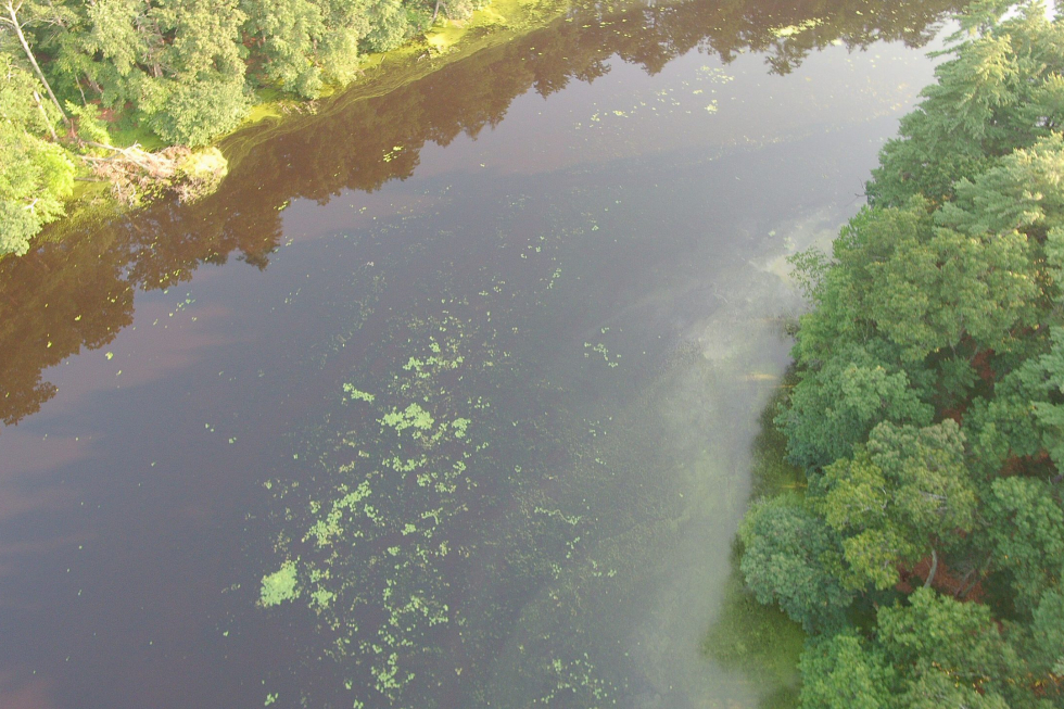
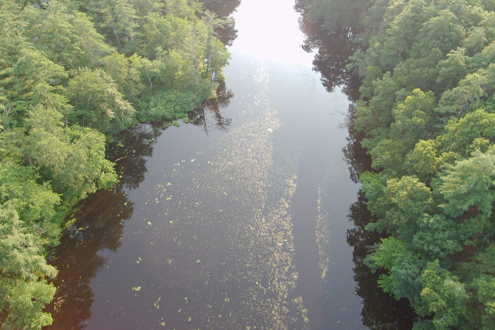
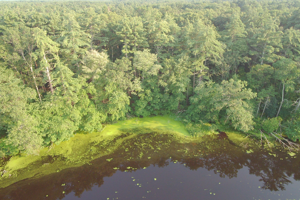
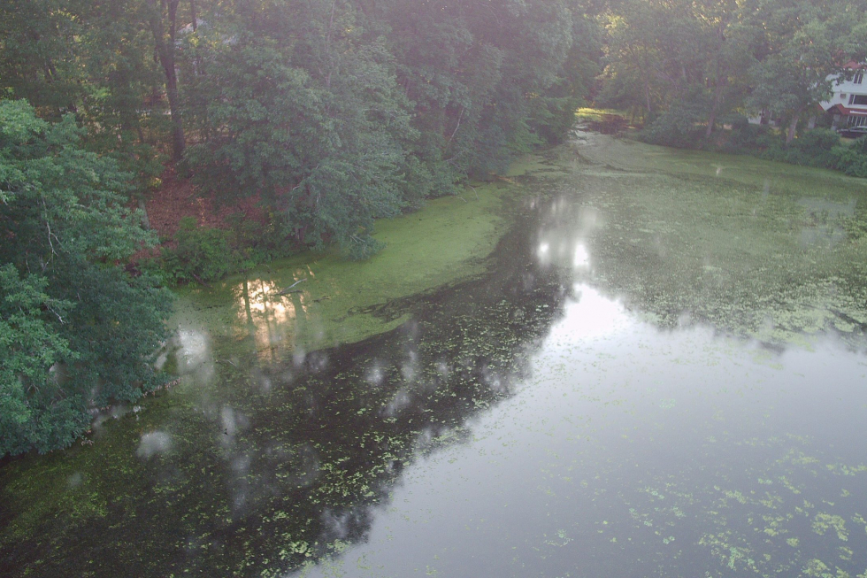
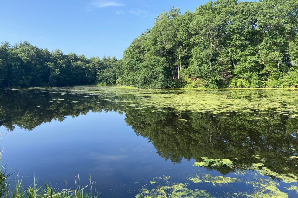
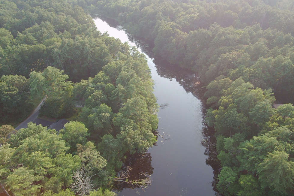
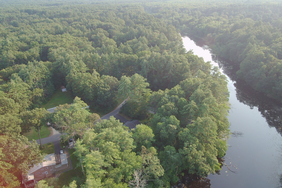
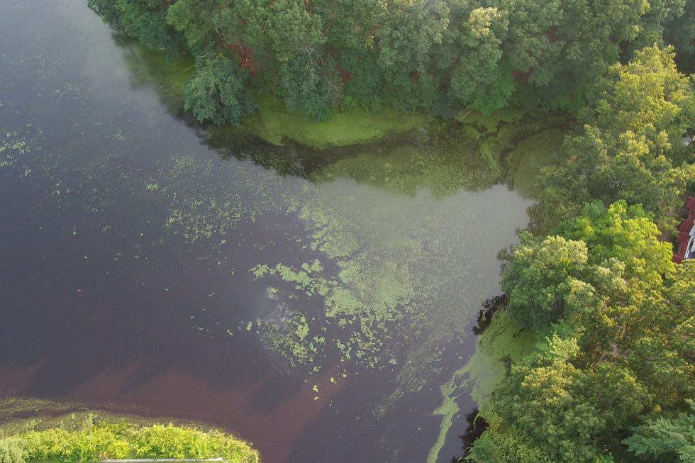
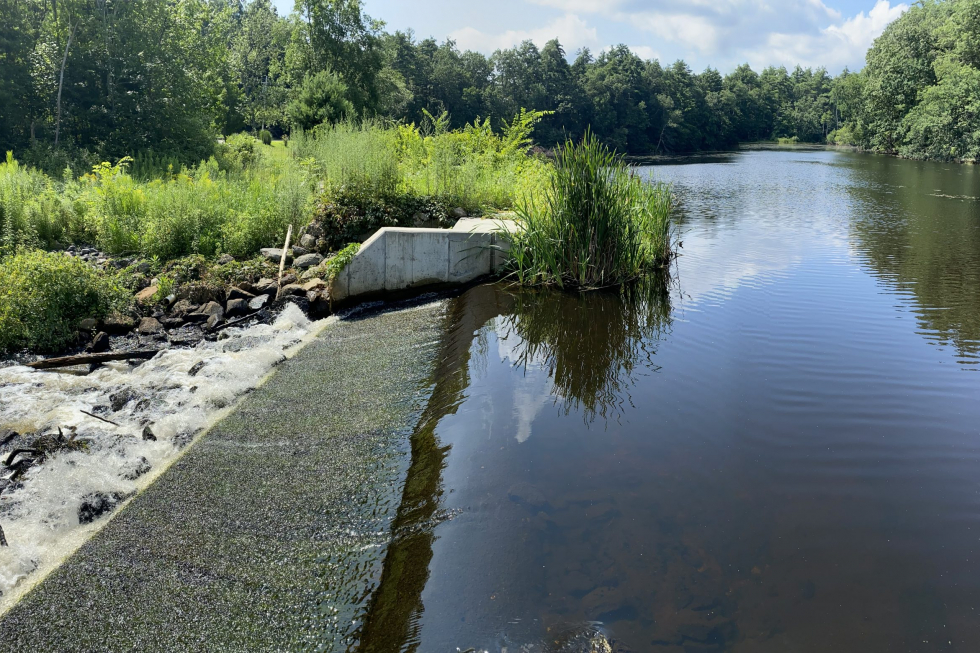
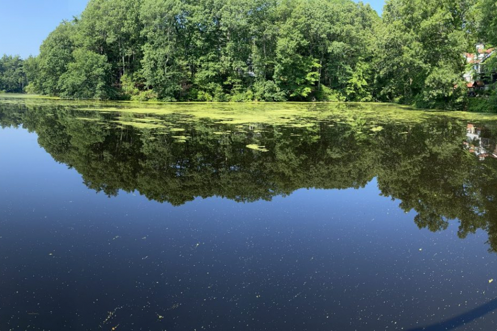
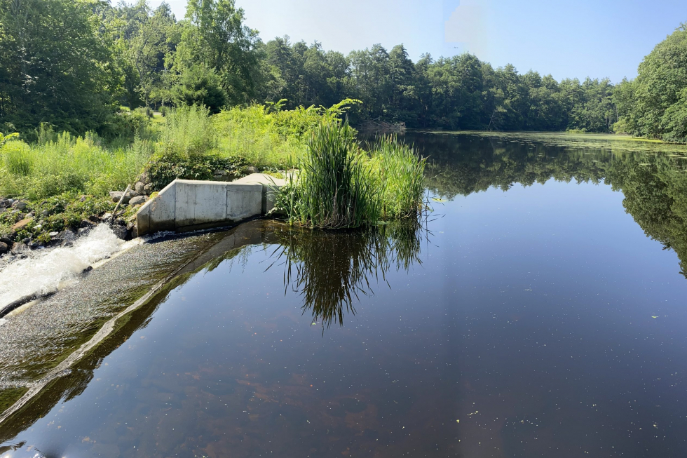
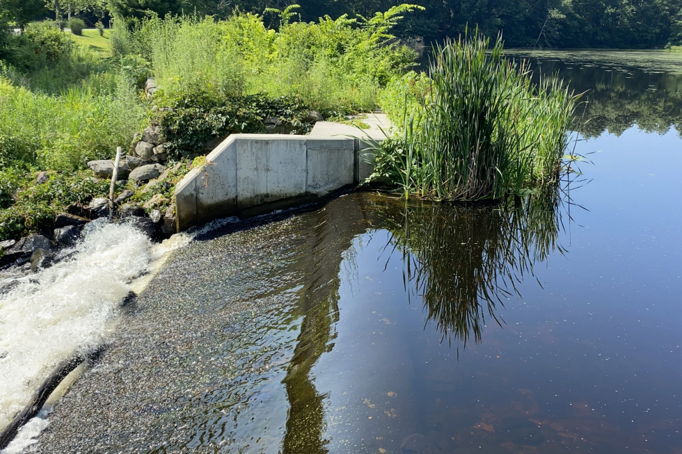
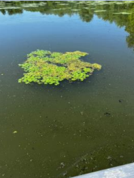
| Located on Dutton Road, Stearns Mill Pond was formed in 1900 to generate hydropower. This 19-acre pond has a watershed of approximately 8.97 square miles. Stearns Mill Pond is the shallowest of the three ponds, ranging in depth from 1-3 feet deep at its maximum. The soft sediment is on average 2.6 feet thick, with a maximum thickness of 5 feet. Curly-leaf pondweed is also prevalent in the pond. As documented in the 2023 pre-treatment survey, the water chestnut population was found greatly reduced, present in isolated pockets.
|
|||||
| 2020: Treatment Year 1
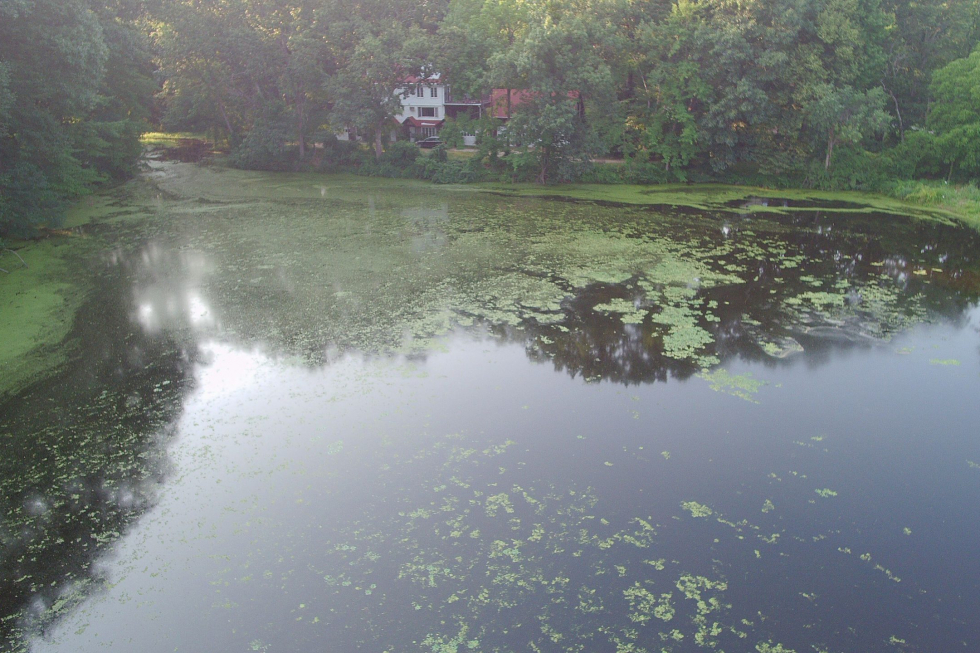
In 2020 the pond was treated twice. Initial conditions included very dense water chestnut growth, with most of the pond covered except for the southwestern corner. Treatments were effective, with remaining growth limited to boat lanes from the first application. By the follow-up visit, water chestnut was reduced to trace to moderate patches, mostly along the pond edges Hop Brook Ponds 2020 Survey Report Hop Brook Ponds 2020 Year End Report |
|||||
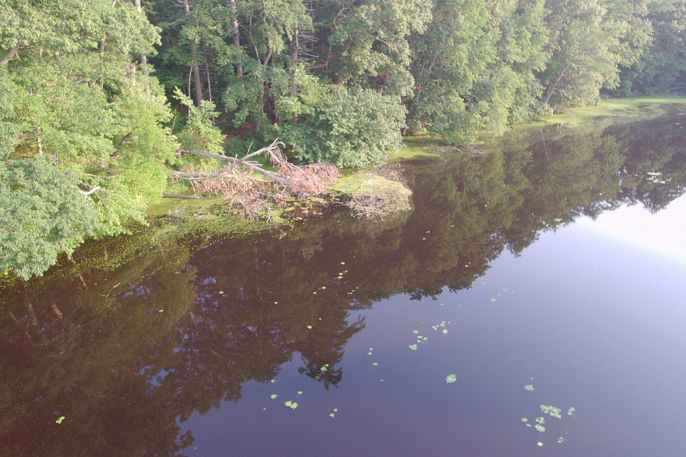
| 2021: Treatment Year 2 In 2021, treatments were conducted with limited effectiveness. 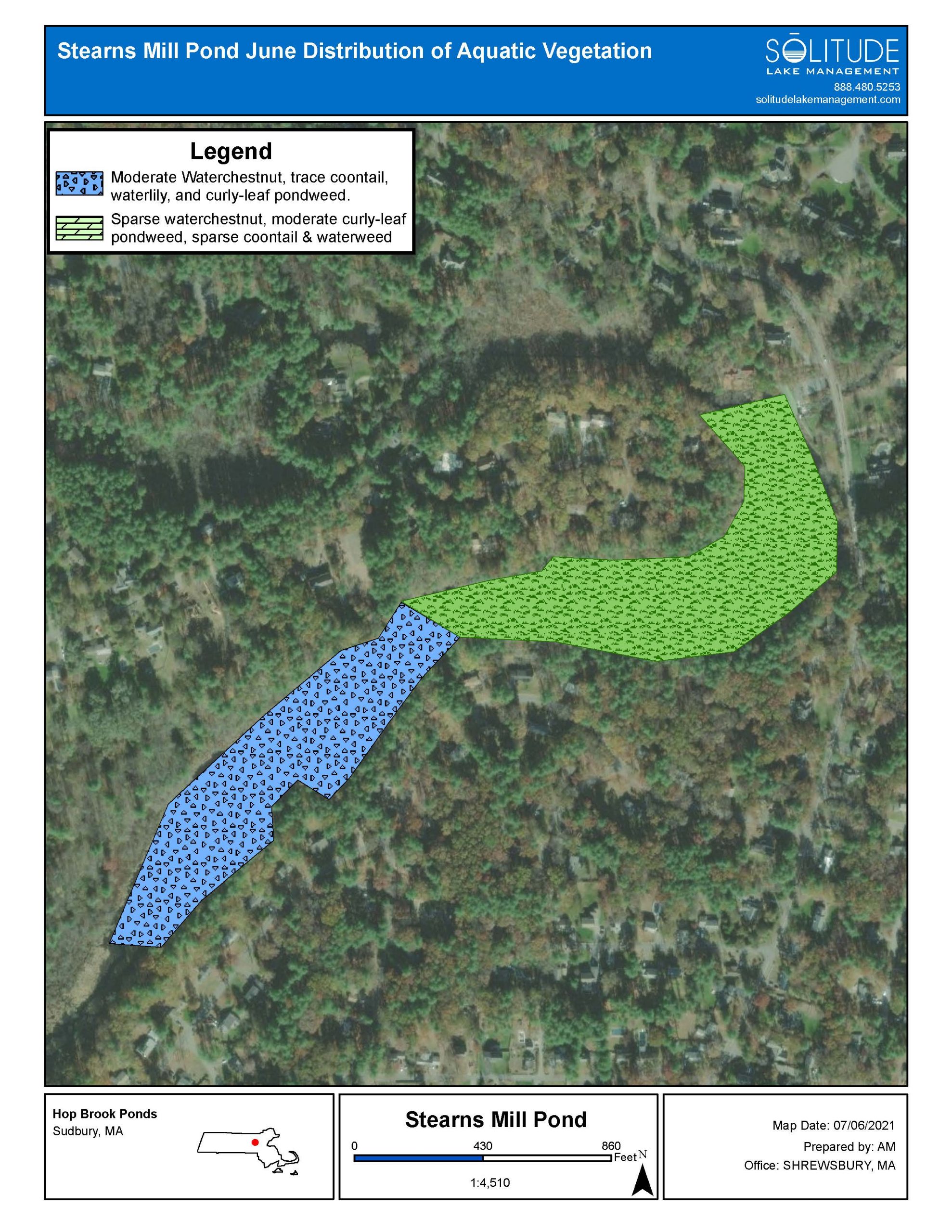 |
|||||
|
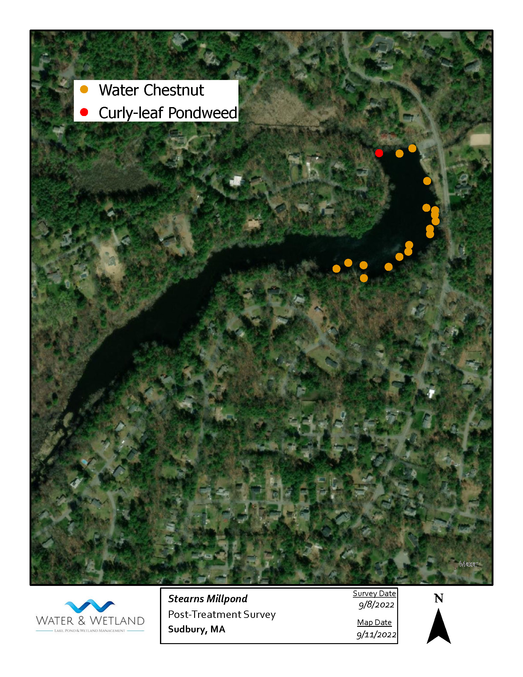
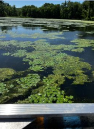
2022: Treatment Year 3 Two treatments were conducted, both in July. Upon inspection in September, the health of the pond had improved dramatically. Trace densities of individual plants remained.
|
|||||
|
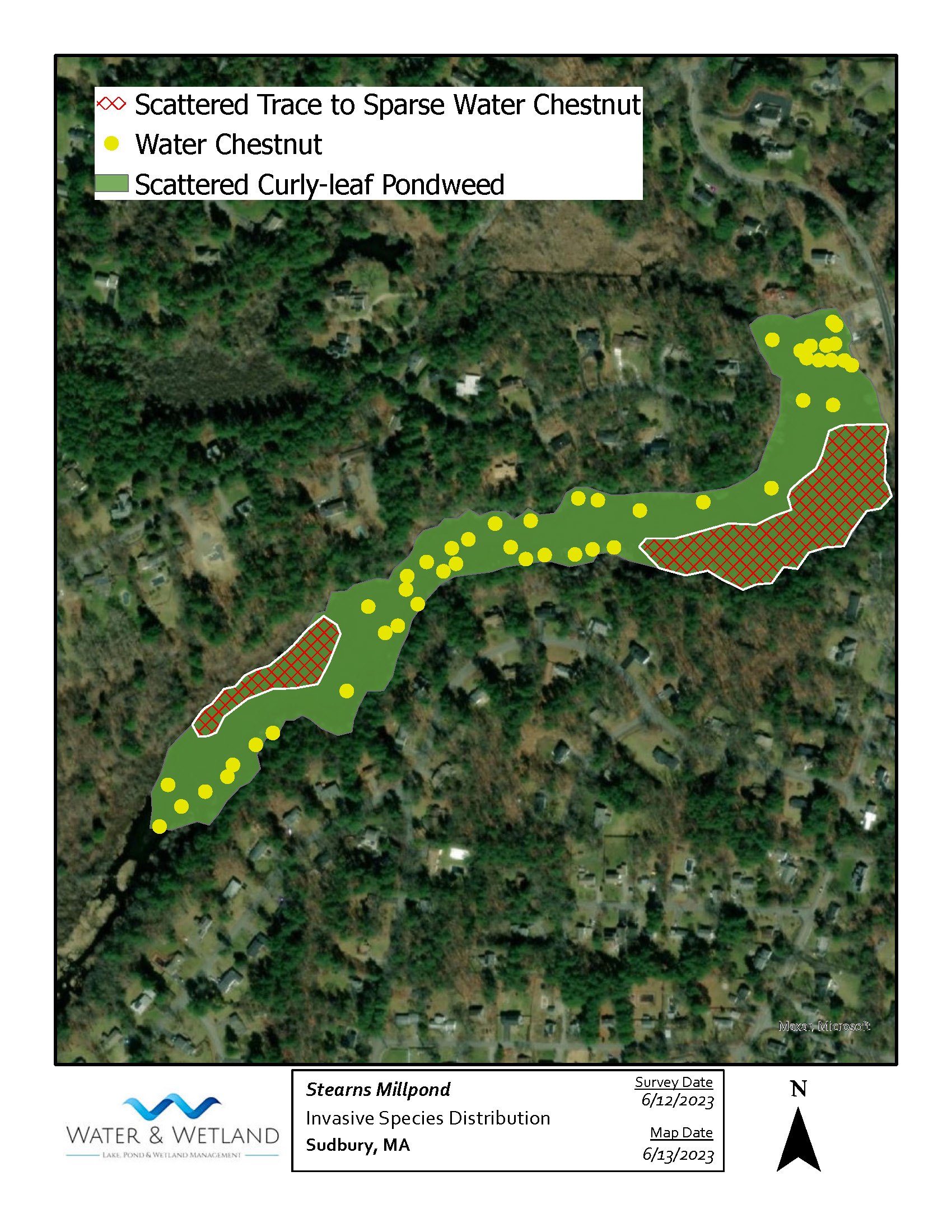
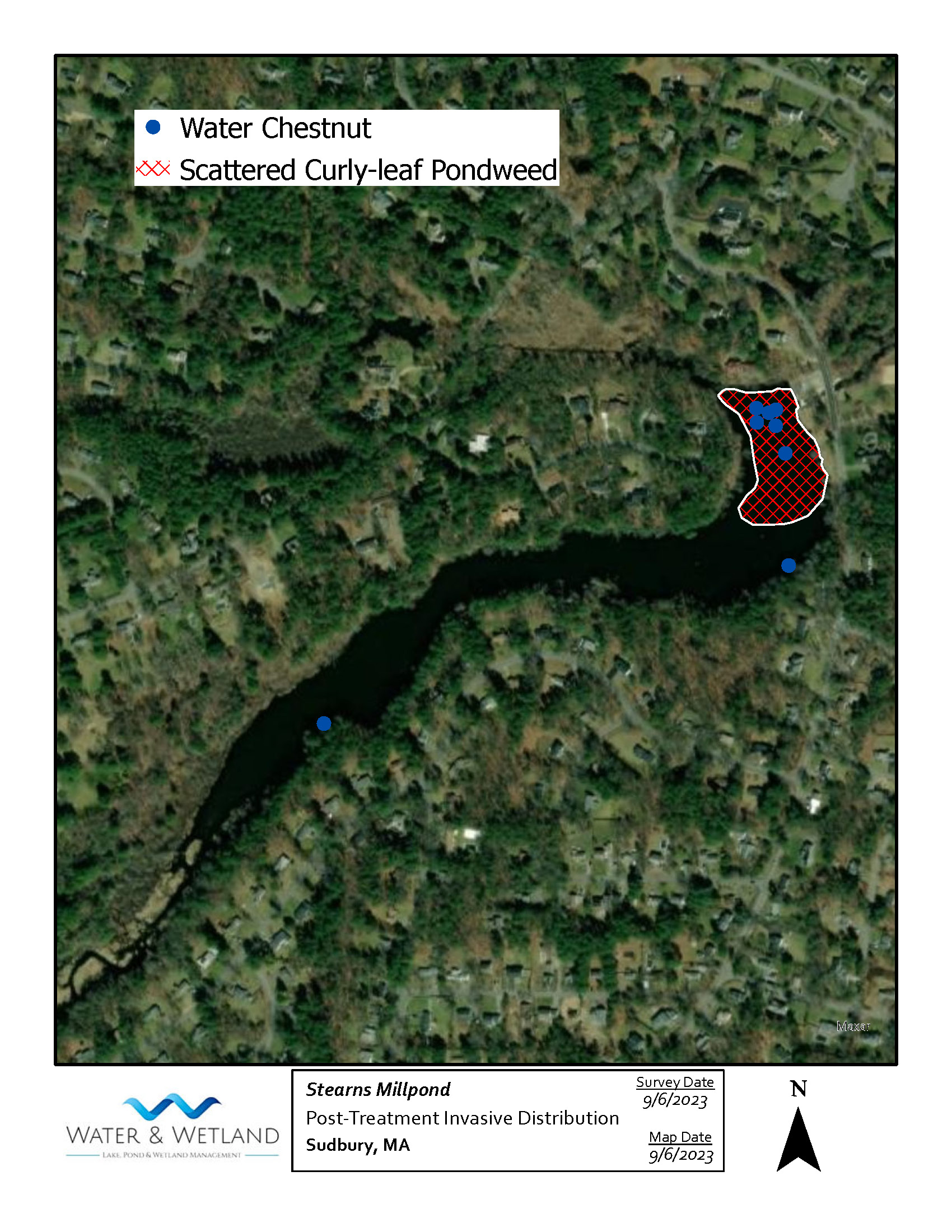
2023: Treatment Year 4. The pond was treated three times, once each in June, July and August. Treatments were found to be very effective, with sparse isolated patches that were hand pulled during the final inspection.
|
|||||
|
2024: Treatment Year 5
|
|||||
|
2025: Treatment Year 6 |
|||||