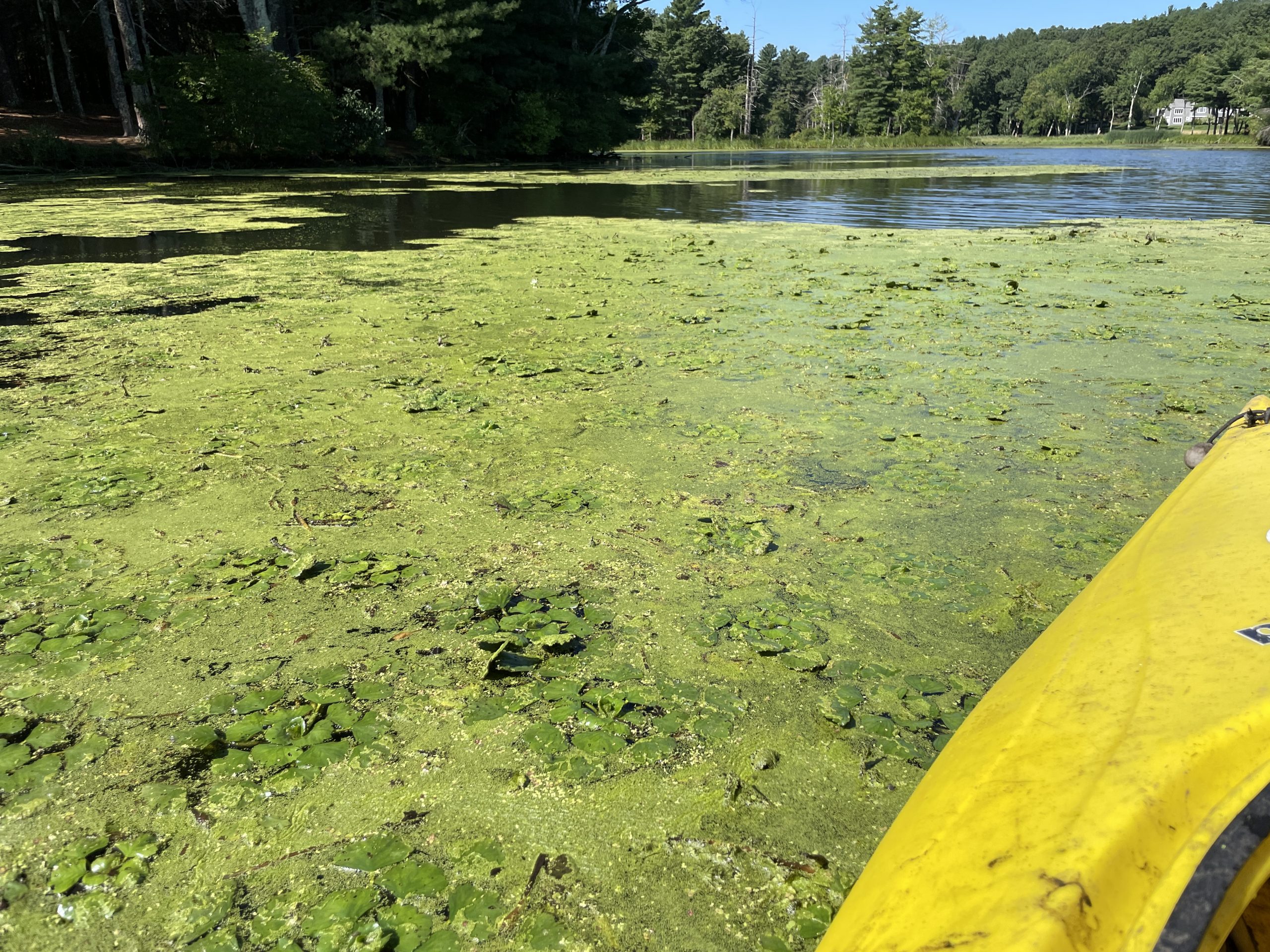
Water Chestnut Management in Sudbury
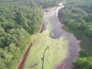
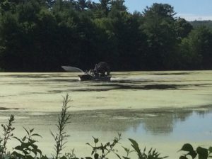
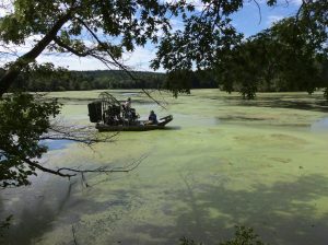
2020 marked the first year that the Hop Brook Protection Association has engaged in a concerted effort to manage water chestnut in Grist Mill, Carding Mill, and Stearns Mill Ponds using Clearcast, after many years of trying to mechanically and manually harvest this aggressive, invasive species. Clearcast (or imazamox) developed 1969, is a compound that is absorbed by the leaves and stems of plants, which is transported to the roots, inhibiting the production of a specific enzyme that synthesizes essential amino acids in susceptible plants. Plant growth stops immediately and the plants dies within 4-12 weeks.
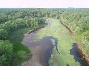
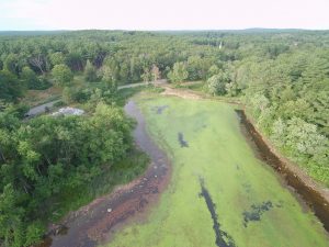
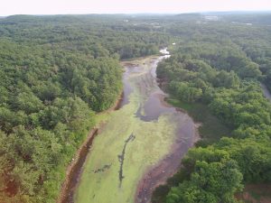
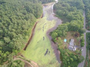
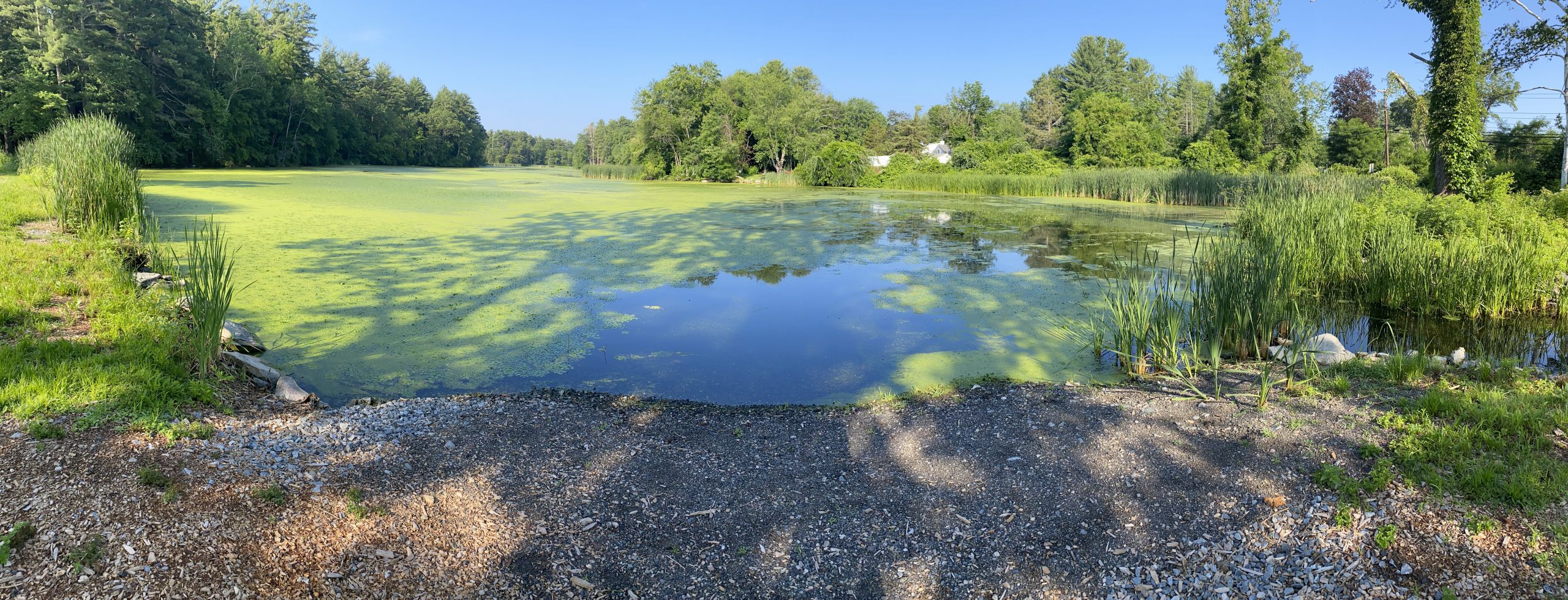
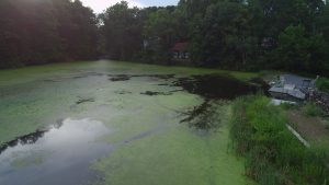
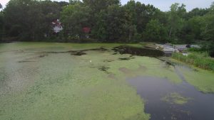
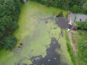
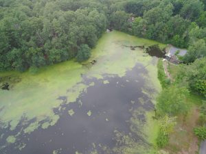
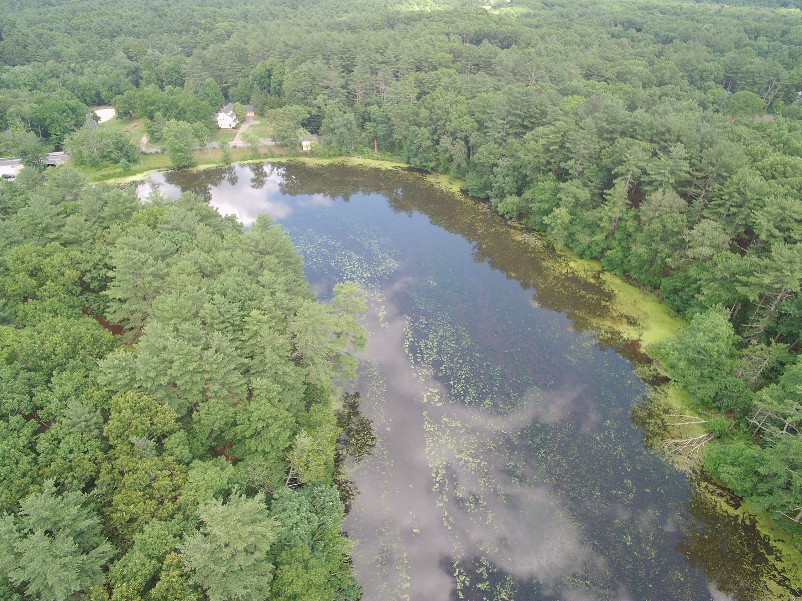
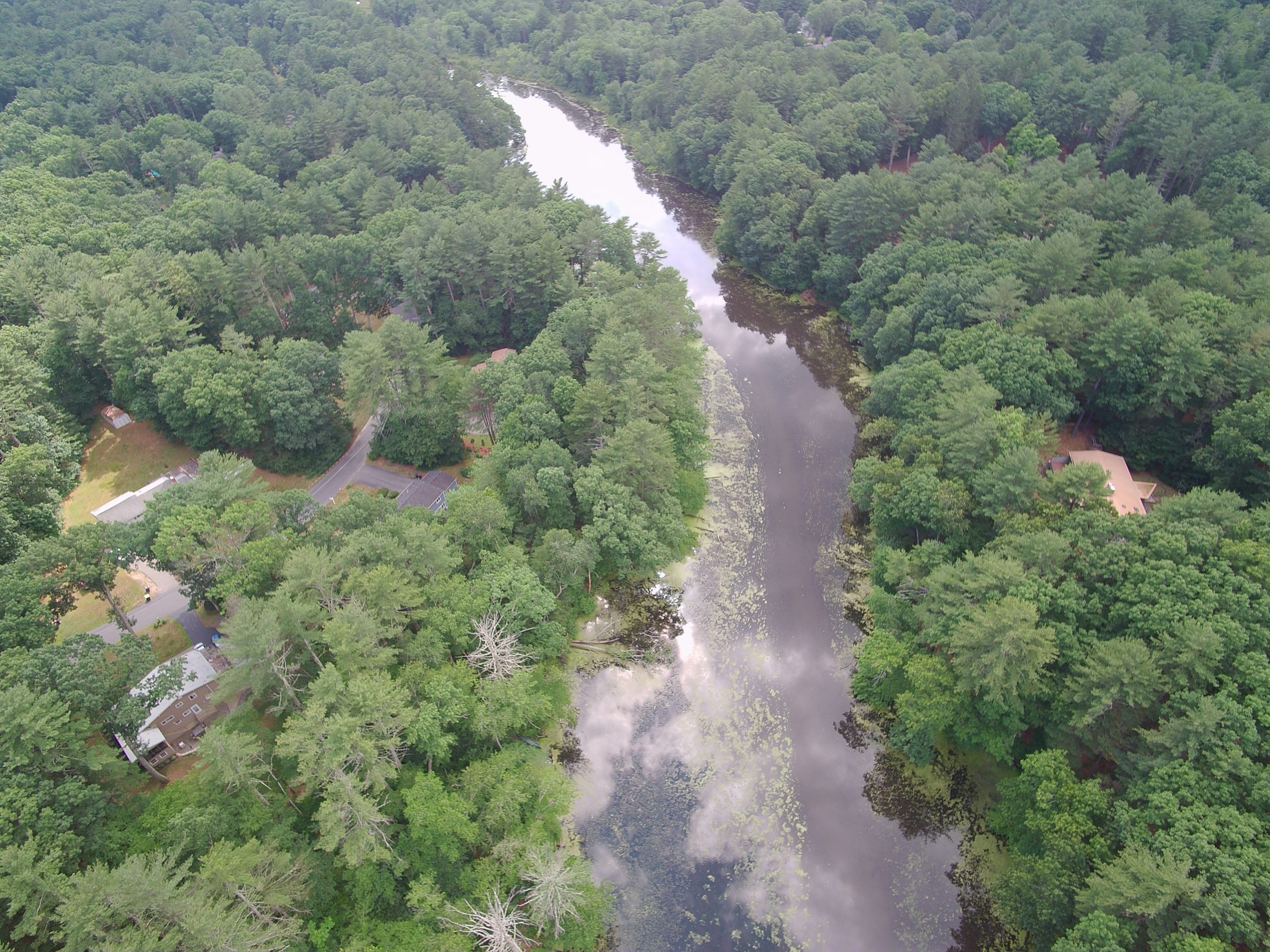
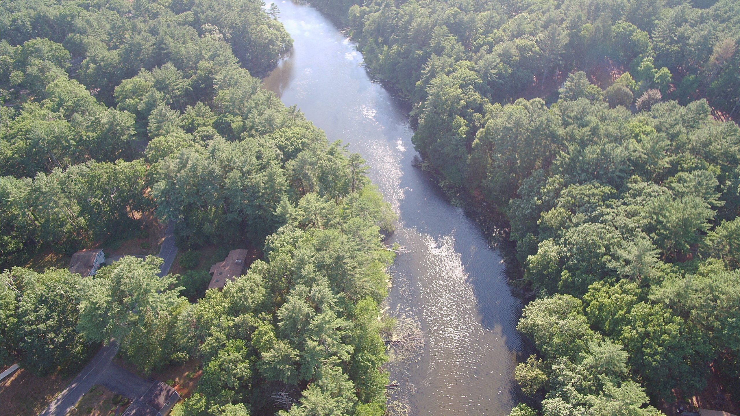
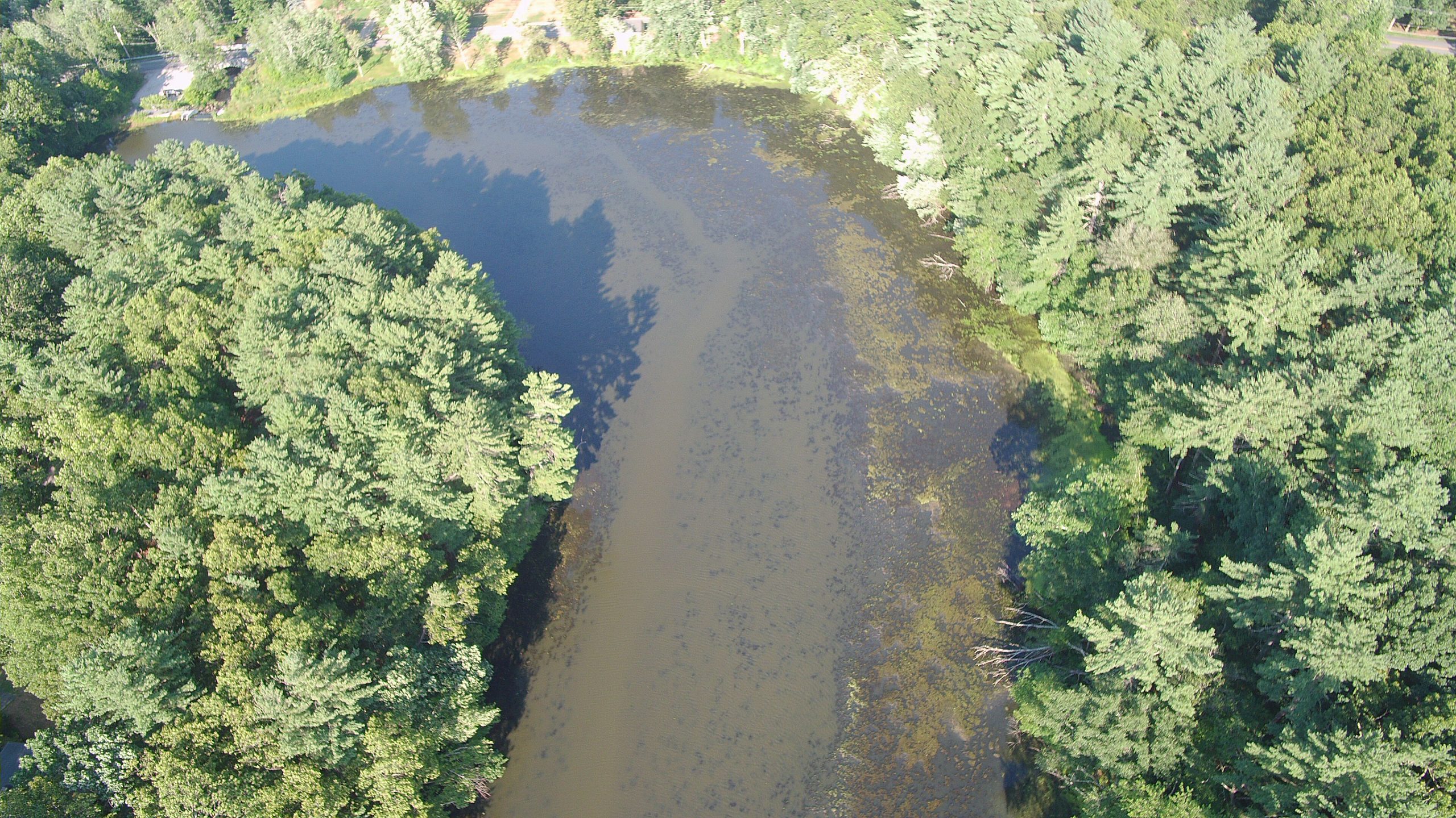
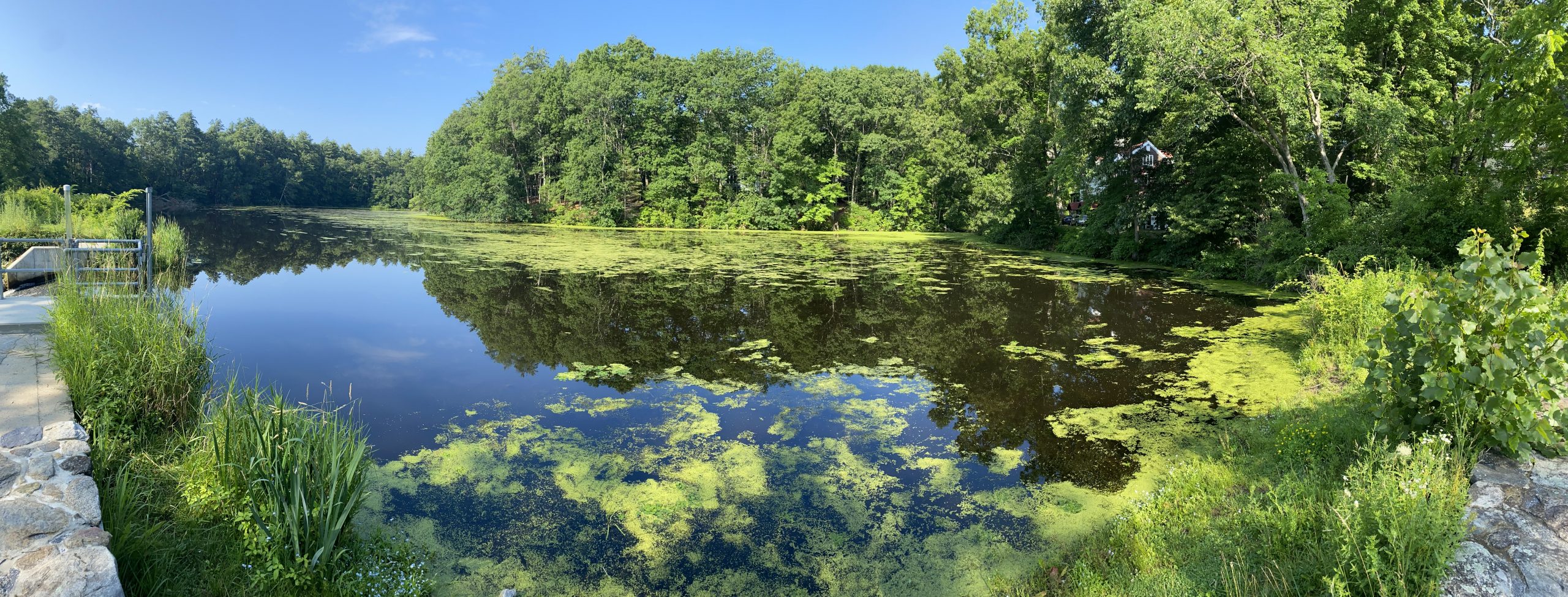
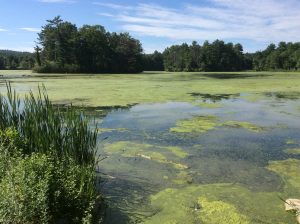
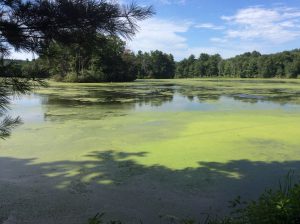
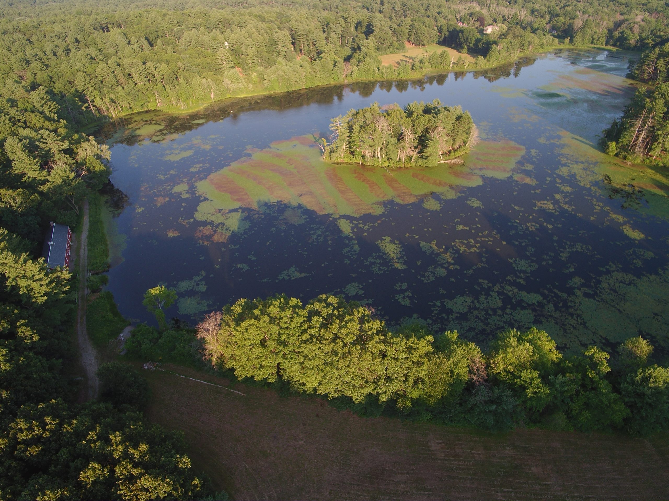
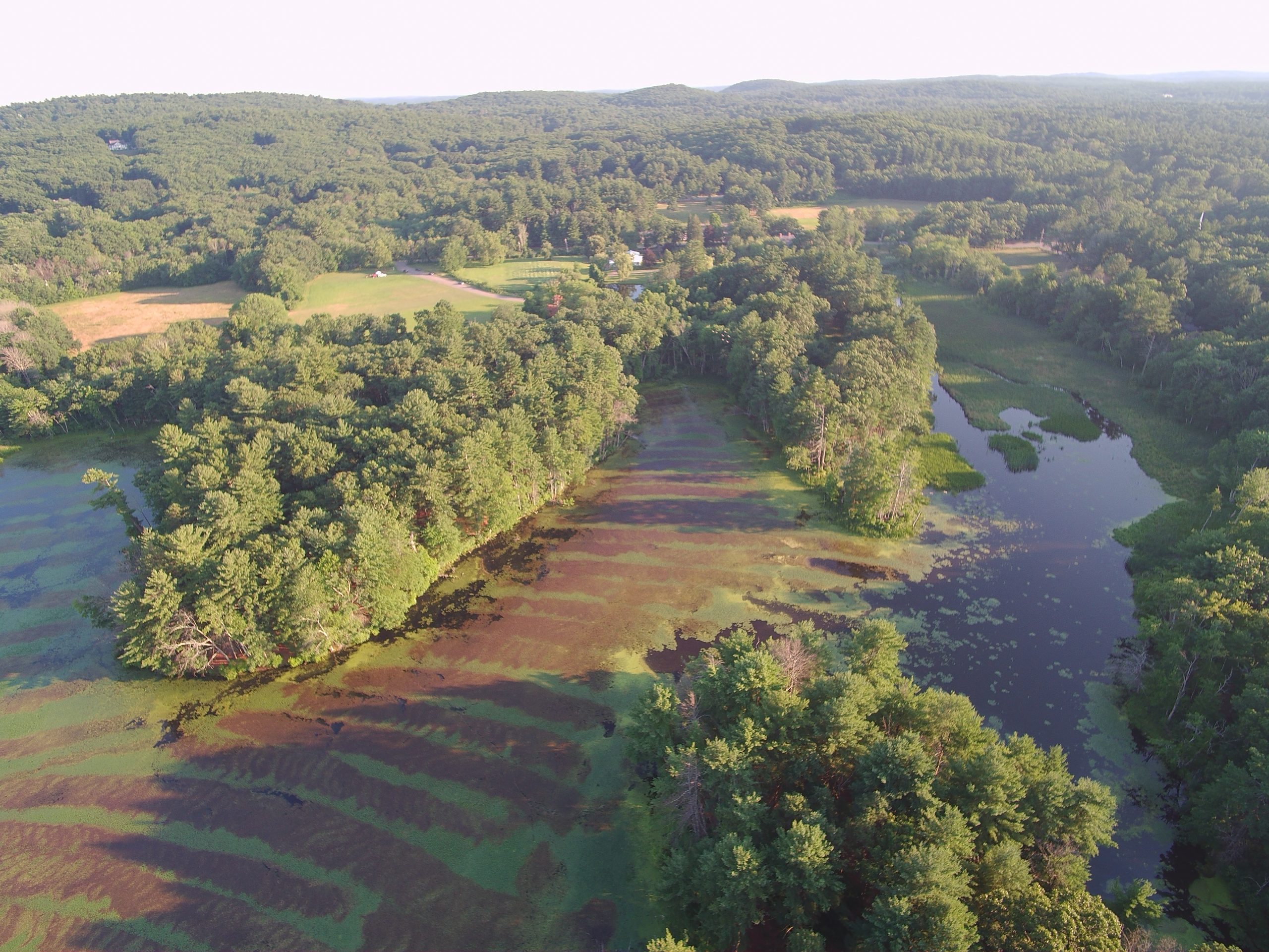
As water chestnut seeds are viable to up to 12 years, this will be a multiple year program, funded by Community Preservation Act funds. Below are aerial photos and drone footage provided by the Hop Brook Protection Association showing the effectiveness of the initial treatment.
The second year of treatment was not overly effective due to a number of factors. In 2022, a new consultant was brought on board and we saw marked improvement in water chestnut treatment. Additionally in 2022, US Fish and Wildlife obtained permits to also treat water chestnut in the Sudbury River. These locations are the only known populations of water chestnut in Sudbury. Management in Sudbury will assist not only Sudbury’s waterways, but also communities downstream, minimizing the proliferation of this invasive species, which was first observed in Concord, MA in 1859 and covered approximately 100 acres of our Sudbury’s waterbodies. View the 2022 Treatment Report here for the Hop Brook Mill Ponds and the Sudbury River.
The Conservation Commission is actively working with the Hop Brook Protection Association to ensure safe, effective, and compliant practices are employed by the applicator. The end result will be eradication of water chestnut from these historically significant ponds. We look forward to seeing a reduction in population in the coming years.
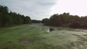
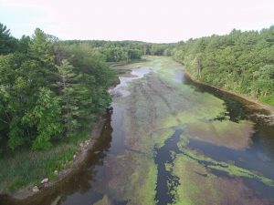
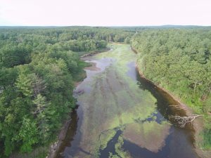
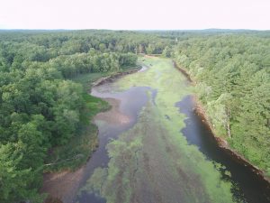
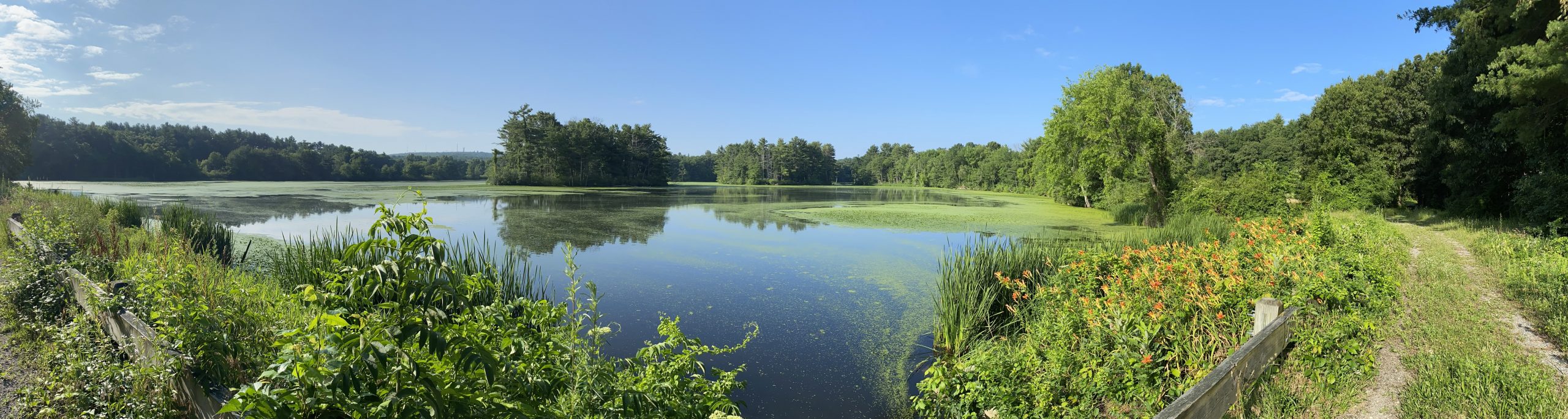
2023 Season Pre-Treatment Survey Hop Brook Mill Ponds
2023 Season Pre-Treatment Survey Sudbury River
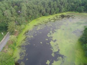
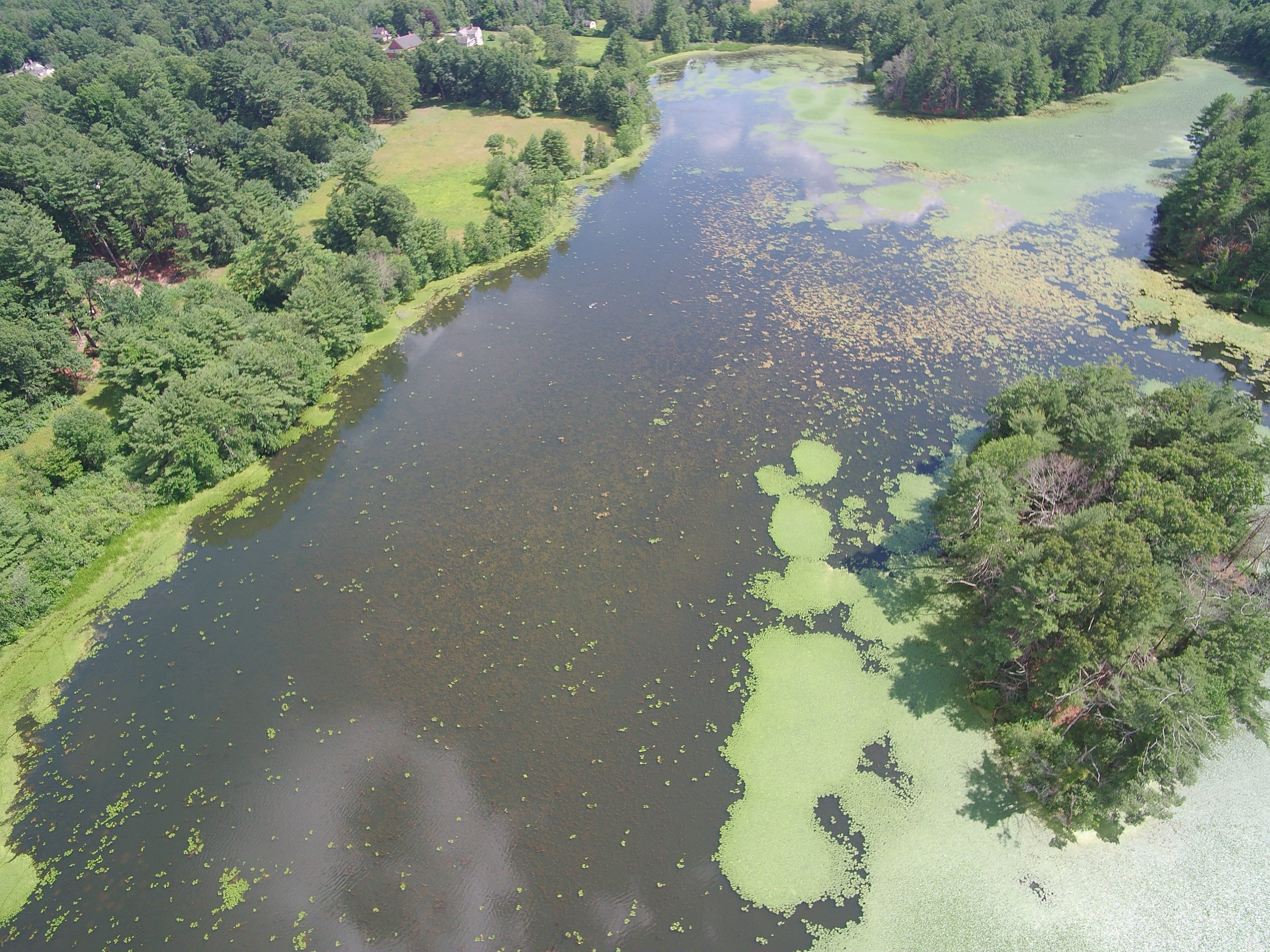
STEARNS MILL POND
Located on Dutton Road, Stearns Mill Pond was formed in 1900 to generate hydropower. This 19-acre pond has a watershed of approximately 8.97 square miles. Stearns Mill Pond is the shallowest of the three ponds, ranging in depth from 1-3 feet deep at its maximum. The soft sediment is on average 2.6 feet thick, with a maximum thickness of 5 feet. Curly-leaf pondweed is also prevalent in the pond. As documented in the 2023 pre-treatment survey, the water chestnut population was found greatly reduced, present in isolated pockets.
Stearns Mill Pond 2020 Pre-treatment Survey
Post First Round of Treatment
2022 Pre Treatment Photos
2022 Post Treatment Photos
><(((°> ~~~~ ><(((°> ~~~~~ ><(((°> ~~~~~ ><(((°> ~~~~ ><(((°>
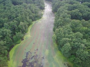
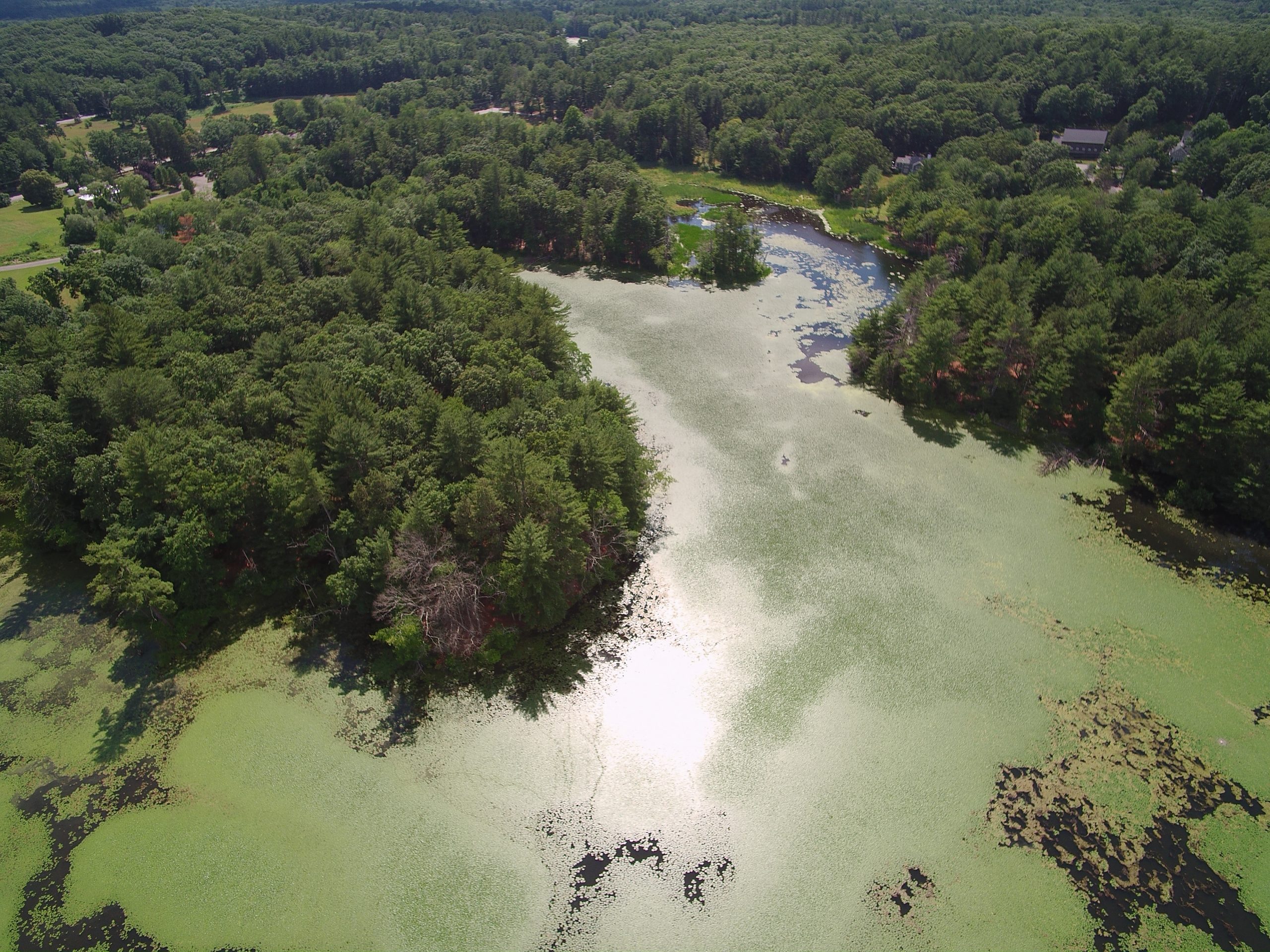
CARDING MILL POND
Also located on Dutton Road, Carding Mill Pond. Carding Mill Pond is a 41.4-acre man-made impoundment, with a 3.88-acre watershed. The average depth of Carding Mill Pond is between 2.3 and 3.9 feet, with a maximum depth of about 6 feet. The soft sediment thickness is on average about 3.5 feet with a maximum of 8.5 feet. Water chestnut once covered approximately 20 acres of the pond.
Carding Mill Pond Pre-treatment map 2020
><(((°> ~~~~ ><(((°> ~~~~~ ><(((°> ~~~~~ ><(((°> ~~~~ ><(((°>
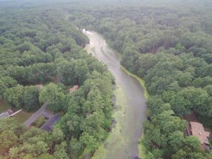
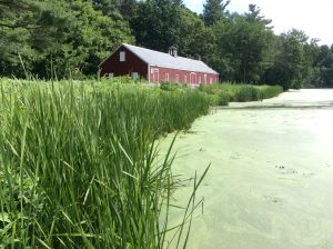
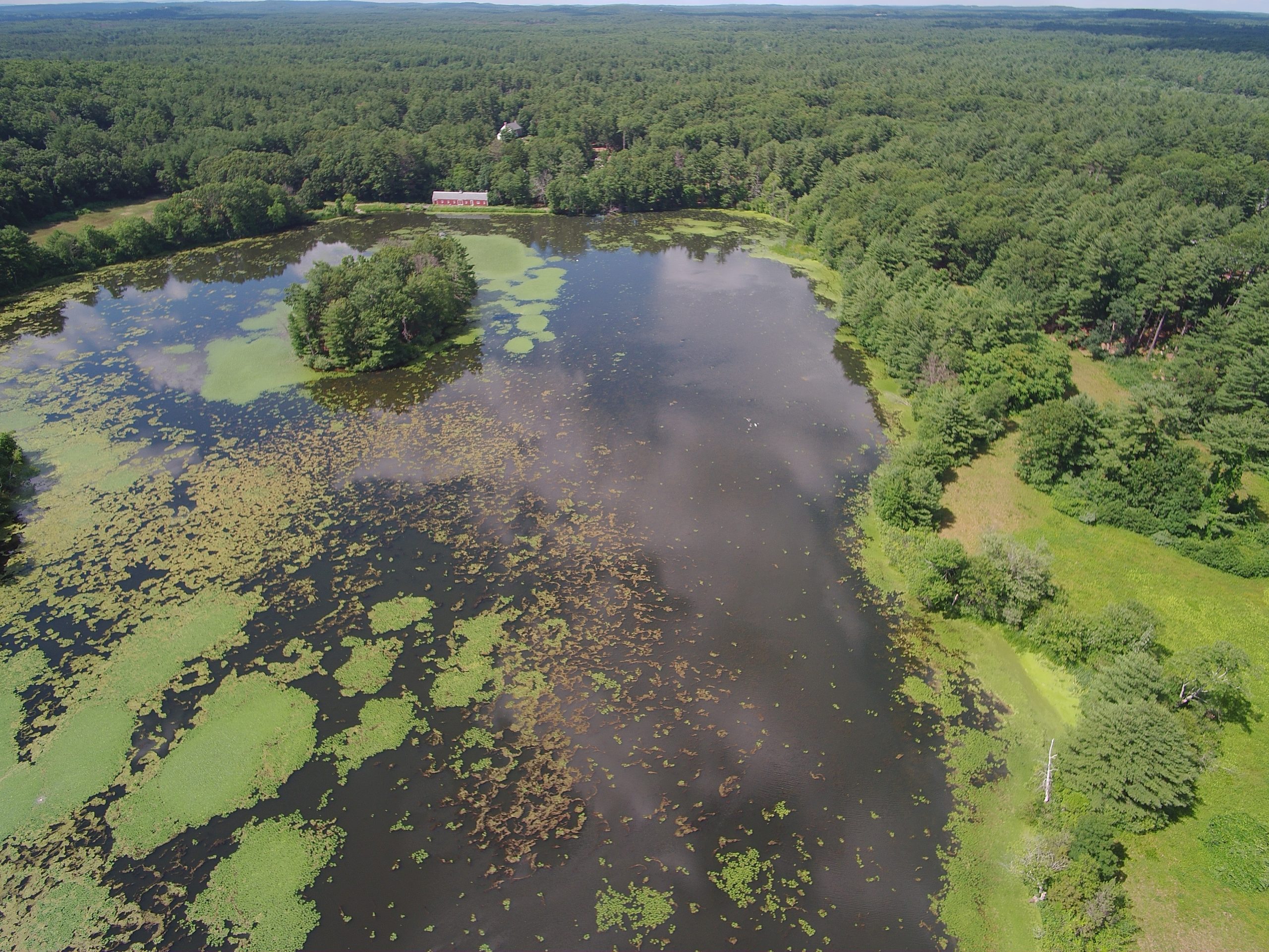
GRIST MILL POND
Located on Wayside Inn Road, Grist Mill Pond is a 16.7-acre man-made impoundment, with a 2.84 square mile watershed, suffering from eutrophication. As the the most impacted of the three ponds, approximately 14.5 acres of the pond was covered by water chestnut and is considered by the State to be impaired due to the presence of non-native aquatic plants, low dissolved oxygen, excess algal growth, fecal coliform and high total phosphorus. Bathymetric mapping has determined the average depth of the pond to be between 2.2 and 4.8 feet with a maximum depth between 8.5 and 9.8. This shallow depth allows light to penetrate to the pond bottom. The soft, nutrient rich, sediment was found to have an average thickness of 0.6-1.4 feet, and a maximum depth of 3-6.5 feet. Pre-treatment mapping of water chestnut in 2023 demonstrated that the population has been reduced to about 1/3 of the original population.
Grist Mill Pond 2020 Pre-treatment Map