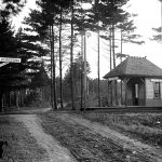
Sudbury’s Changing Land – A Driving and Walking Tour
A Guide to 15,000 Years of Landscape Evolution
The settlement of the town of Sudbury was largely dictated by the lay of its land. Glaciers had shaped it, rivers watered it, and its fertile soils supported agriculture. With the development of Route 20 and construction of two railroads, Sudbury evolved from a rural village to a busy community on the suburban fringe of Boston. But an important consequence of the residential and commercial development of Sudbury was the serious threat of permanent damage or destruction of many of the town’s natural features. Especially in the last hundred years, Sudbury’s residents have recognized land protection and restoration as essential to preserve the town’s landscape history and protect its resources for the future.
This guide lets you explore Sudbury’s landscape, including some of its valuable protected open spaces, to challenge you to look more closely at the natural environment – the literal ground we live upon.
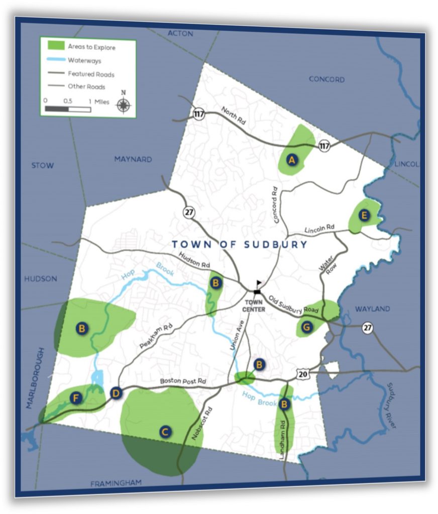
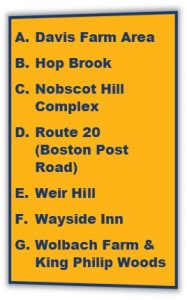
Seven geographical areas are specifically identified in this guide, to help you explore Sudbury’s landscape history. Each place illustrates two or more eras of change. Some you can see from your car, while others offer the option to take a hike and get a more intimate look at the land.
 |
 |
| Walk | Drive | Explore |
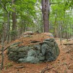
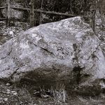
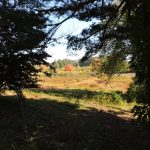
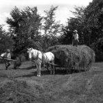
Click on the links below or photos above to transport yourself into the landscape to better understand how the land itself has transformed the Sudbury you know today.
1. Setting the Post-Glacial Scene
4. European Land Use: Transport, Farms, and Mills
6. Rural Town to Western Suburb
7. Sudbury Now: Conservation, Restoration, and Resilience
This guide was written and sponsored by Sudbury Valley Trustees, and the Town of Sudbury Conservation Commission, in conjunction with an exhibit by the Sudbury Historical Society.
 |
 |
 |
![]() Grant funding was provided by the Freedom’s Way National Heritage Area, a partner of the National Park Service.
Grant funding was provided by the Freedom’s Way National Heritage Area, a partner of the National Park Service.

